Wichita Metro Area Wall Map
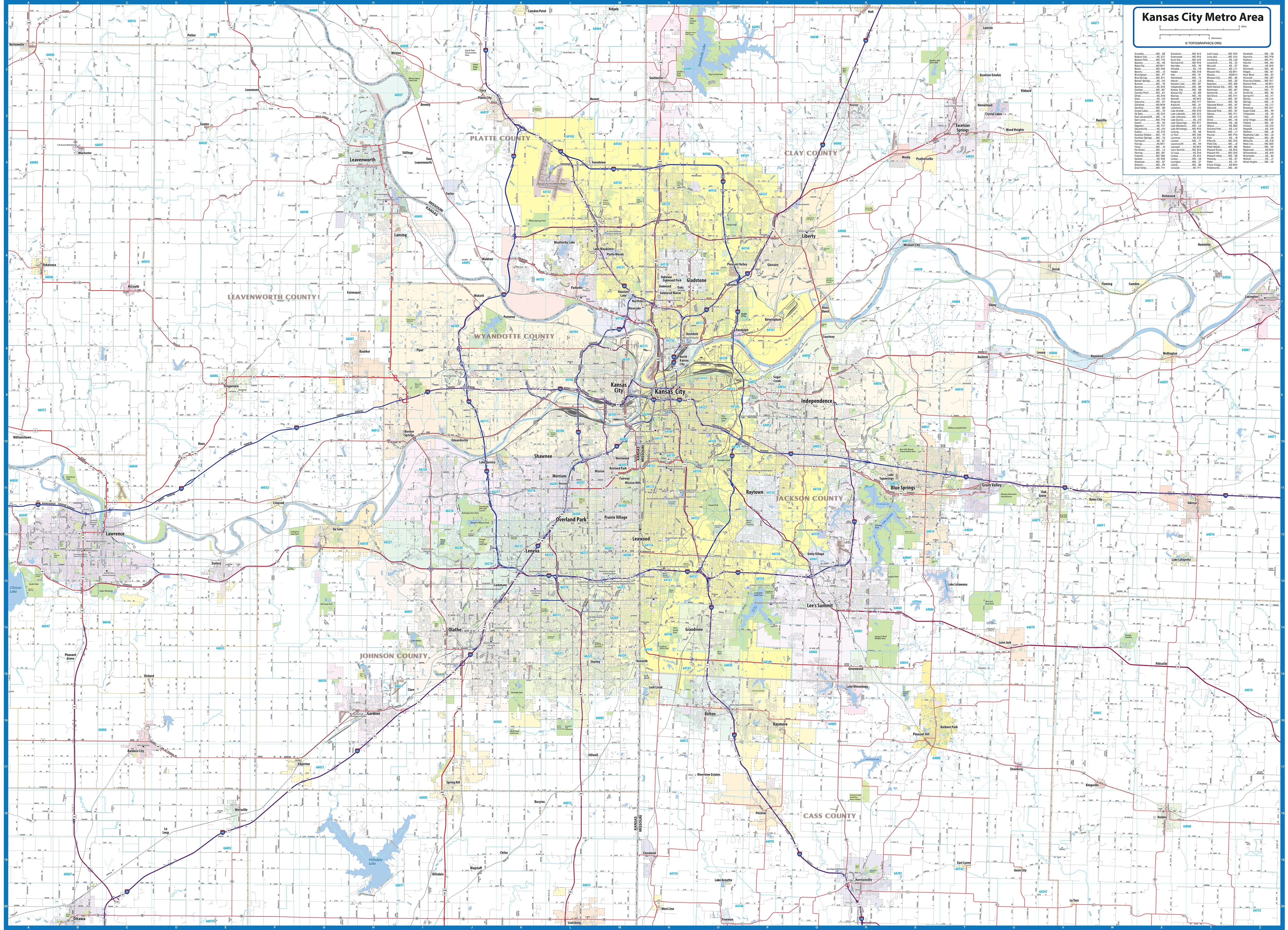
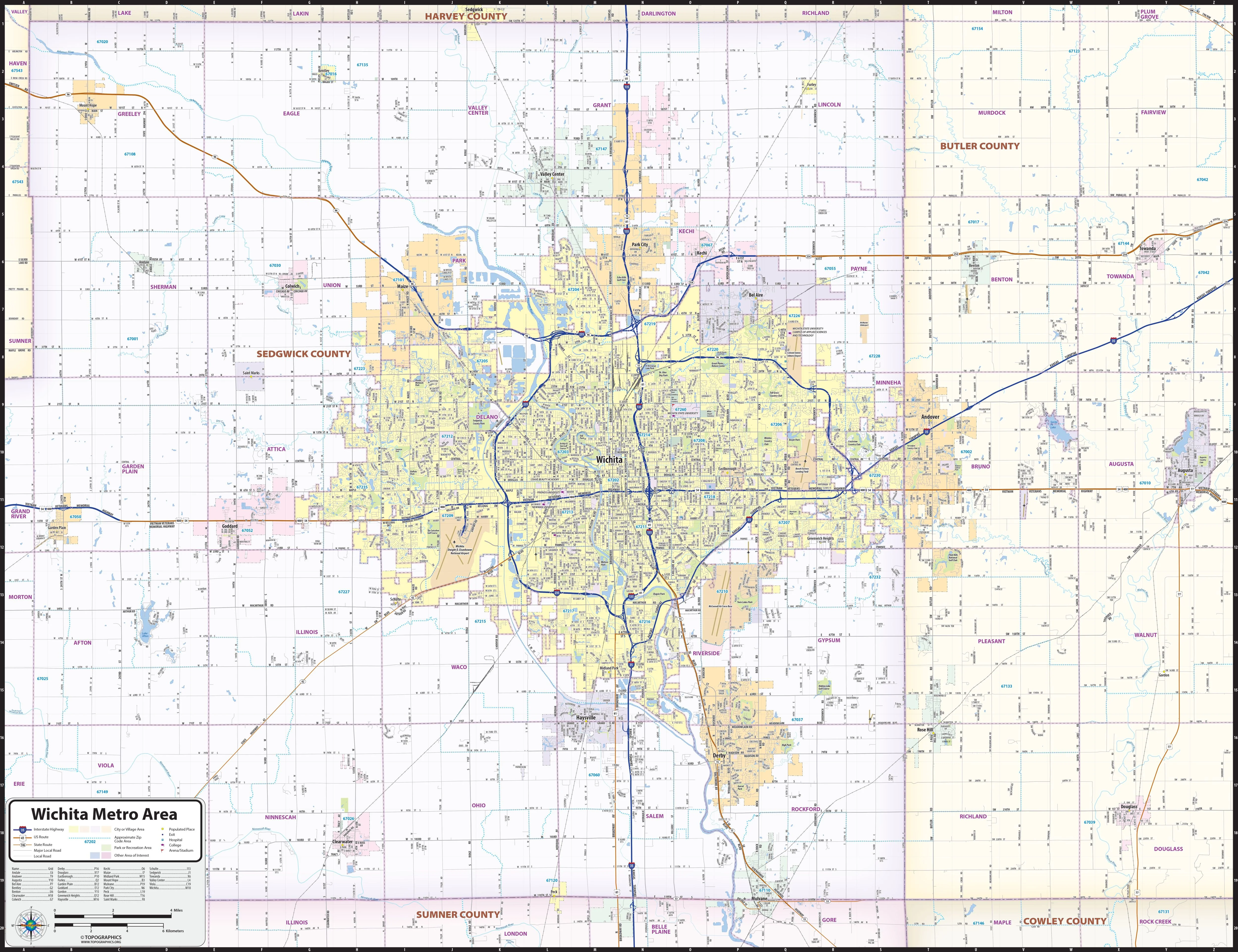
Our Wichita Metro Area regional wall map shows a 30 - 40 mile area centered on Wichita, Kansas. It includes most of Sedgwick County and western parts of Butler County. Besides Wichita, Park City, Bel Aire, Maize, Andover, Augusta, Douglas, Derby, Haysville, and Goddard are included. Features shown include cities, towns, counties, highways and major and secondary roads, zip codes, and major points of interest. Note: due to the vast extent of this map, local residential street names are not shown.
This map comes rolled and ships in a sturdy cardboard tube.
Product Information
Product Information
Shipping & Returns
Shipping & Returns


Wichita Metro Area Wall Map
Wichita Metro Area Wall Map
Our Wichita Metro Area regional wall map shows a 30 - 40 mile area centered on Wichita, Kansas. It includes most of Sedgwick County and western parts of Butler County. Besides Wichita, Park City, Bel Aire, Maize, Andover, Augusta, Douglas, Derby, Haysville, and Goddard are included. Features shown include cities, towns, counties, highways and major and secondary roads, zip codes, and major points of interest. Note: due to the vast extent of this map, local residential street names are not shown.
This map comes rolled and ships in a sturdy cardboard tube.
Original: $79.95
-65%$79.95
$27.98Product Information
Product Information
Shipping & Returns
Shipping & Returns
Description
Our Wichita Metro Area regional wall map shows a 30 - 40 mile area centered on Wichita, Kansas. It includes most of Sedgwick County and western parts of Butler County. Besides Wichita, Park City, Bel Aire, Maize, Andover, Augusta, Douglas, Derby, Haysville, and Goddard are included. Features shown include cities, towns, counties, highways and major and secondary roads, zip codes, and major points of interest. Note: due to the vast extent of this map, local residential street names are not shown.
This map comes rolled and ships in a sturdy cardboard tube.