West Tennessee Regional Area Wall Map
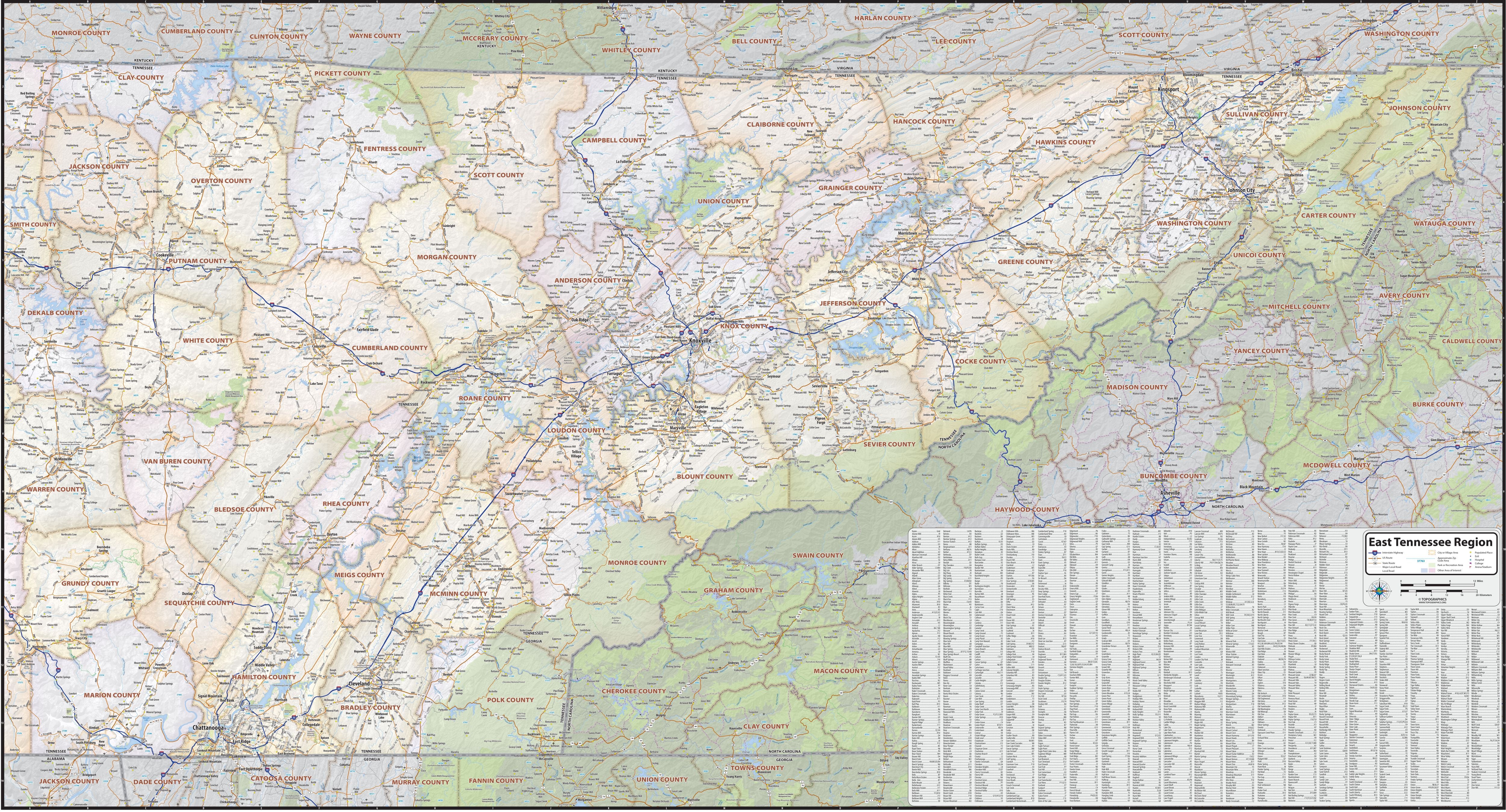
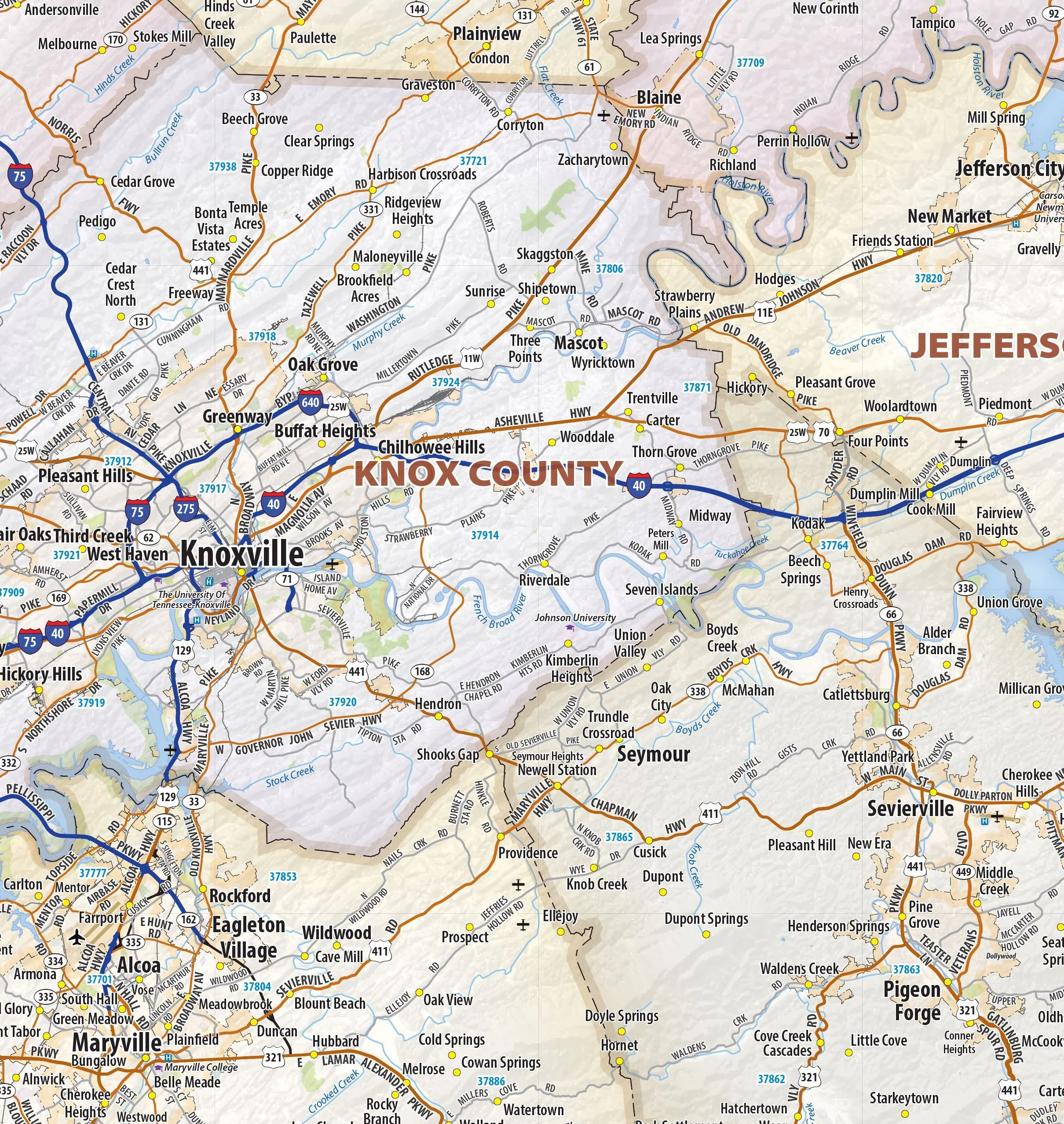
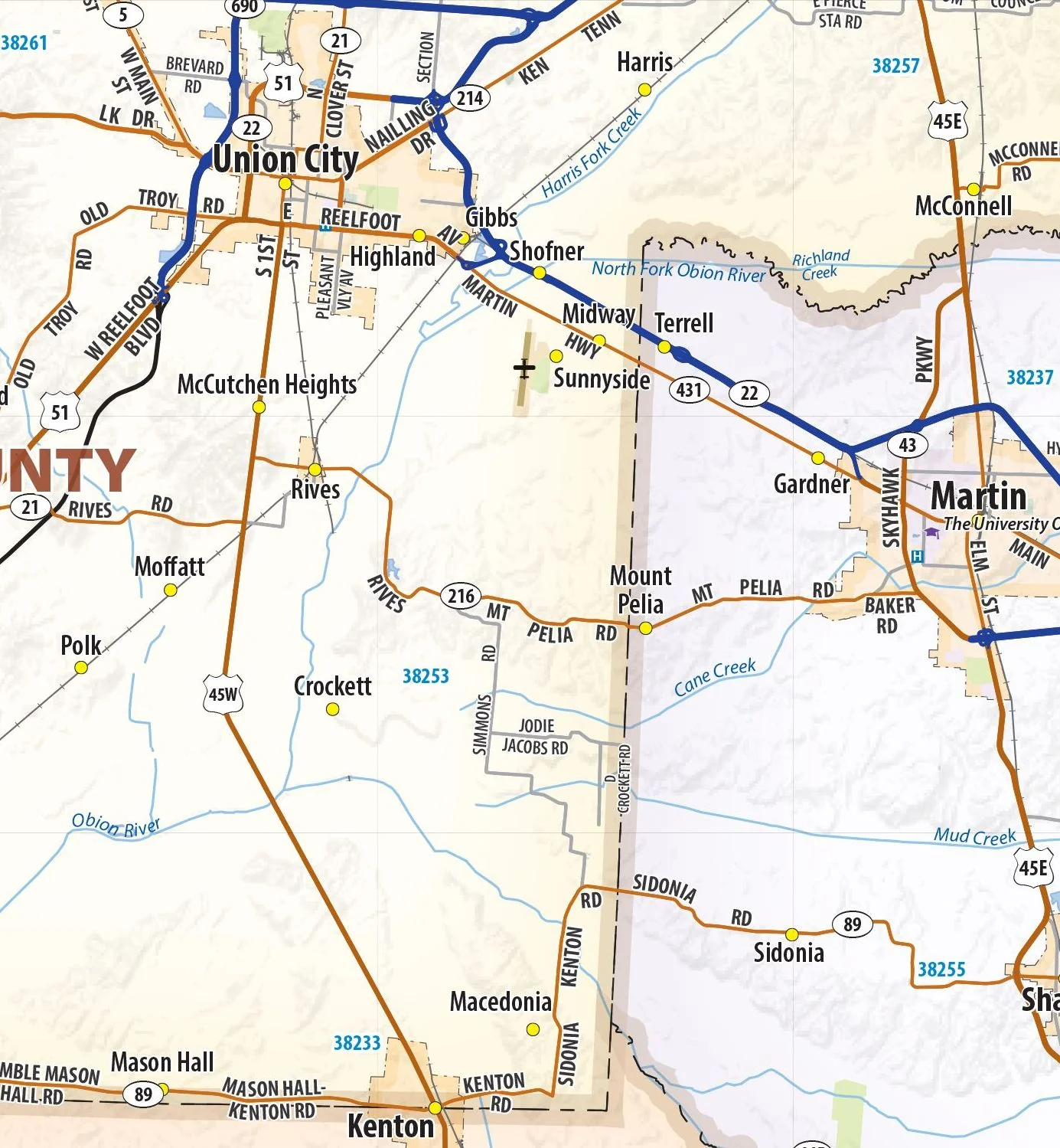
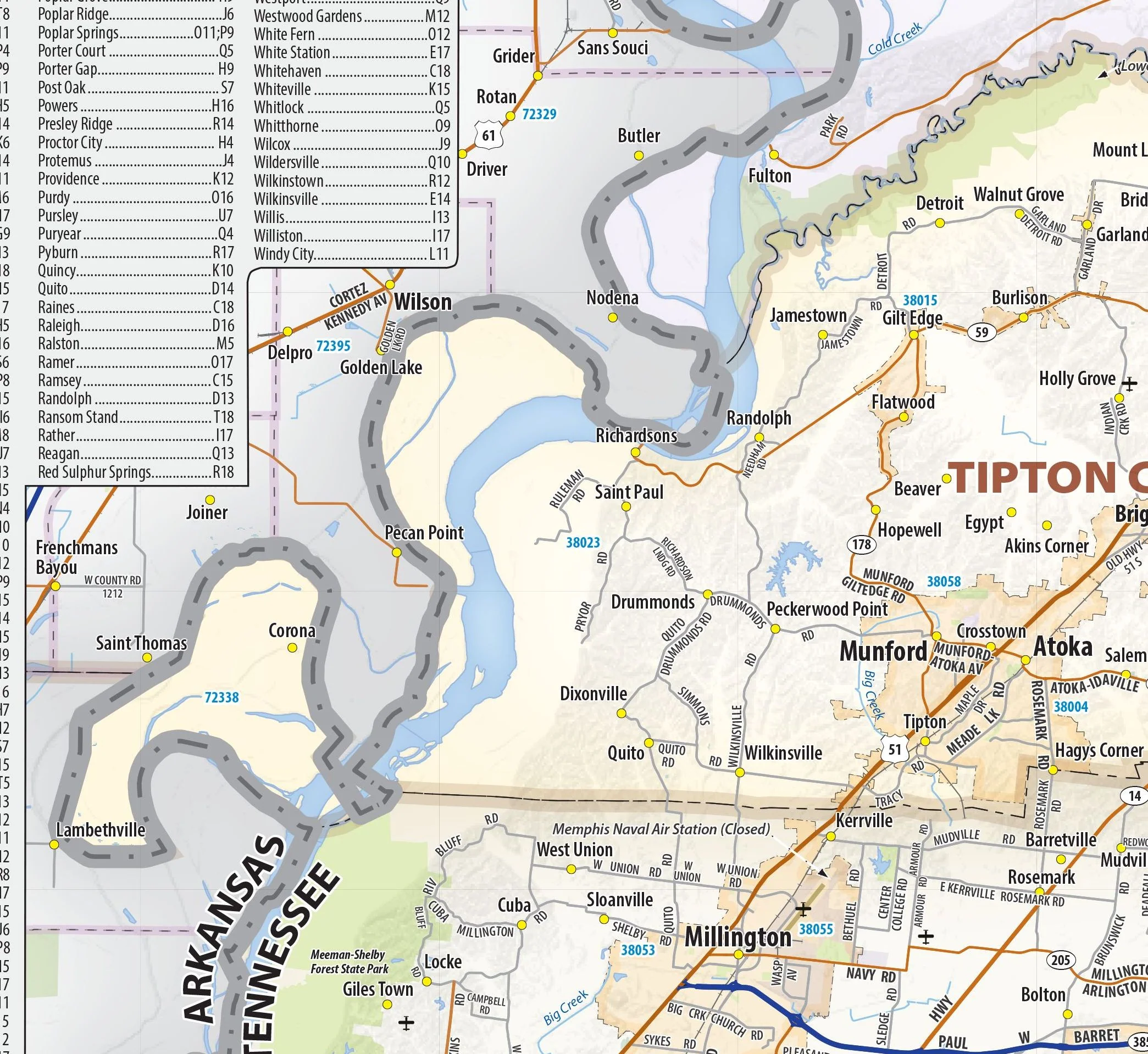
Our West Tennessee Regional Wall Map shows the area of western Tennessee from the Mississippi River to Lake Kentucky, including the counties of Benton, Carroll, Chester, Crockett, Decatur, Dyer, Fayette, Gibson, Hardeman, Hardin, Haywood, Henderson, Henry, Lake, Lauderdale, Madison, McNairy, Obion, Shelby, Tipton, and Weakley. The perfect tool for visualizing the big picture of this region, the map shows cities, towns, and major and secondary roads.
This map is rolled and shipped in a sturdy cardboard tube.
Product Information
Product Information
Shipping & Returns
Shipping & Returns


West Tennessee Regional Area Wall Map
West Tennessee Regional Area Wall Map
Our West Tennessee Regional Wall Map shows the area of western Tennessee from the Mississippi River to Lake Kentucky, including the counties of Benton, Carroll, Chester, Crockett, Decatur, Dyer, Fayette, Gibson, Hardeman, Hardin, Haywood, Henderson, Henry, Lake, Lauderdale, Madison, McNairy, Obion, Shelby, Tipton, and Weakley. The perfect tool for visualizing the big picture of this region, the map shows cities, towns, and major and secondary roads.
This map is rolled and shipped in a sturdy cardboard tube.
Product Information
Product Information
Shipping & Returns
Shipping & Returns
Description
Our West Tennessee Regional Wall Map shows the area of western Tennessee from the Mississippi River to Lake Kentucky, including the counties of Benton, Carroll, Chester, Crockett, Decatur, Dyer, Fayette, Gibson, Hardeman, Hardin, Haywood, Henderson, Henry, Lake, Lauderdale, Madison, McNairy, Obion, Shelby, Tipton, and Weakley. The perfect tool for visualizing the big picture of this region, the map shows cities, towns, and major and secondary roads.
This map is rolled and shipped in a sturdy cardboard tube.