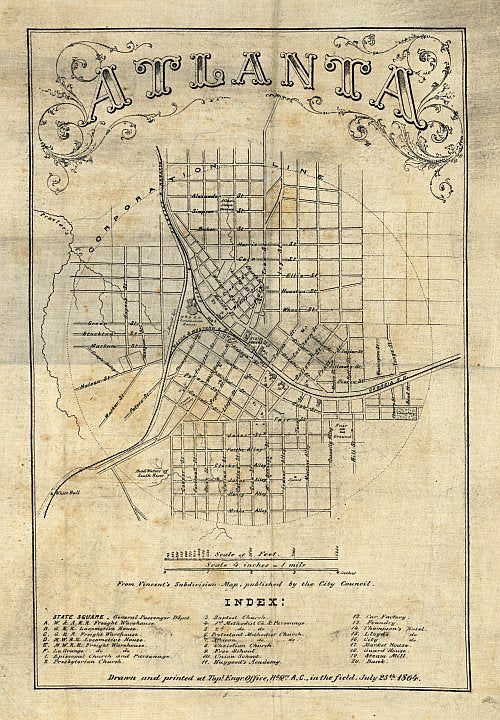
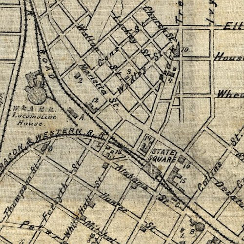
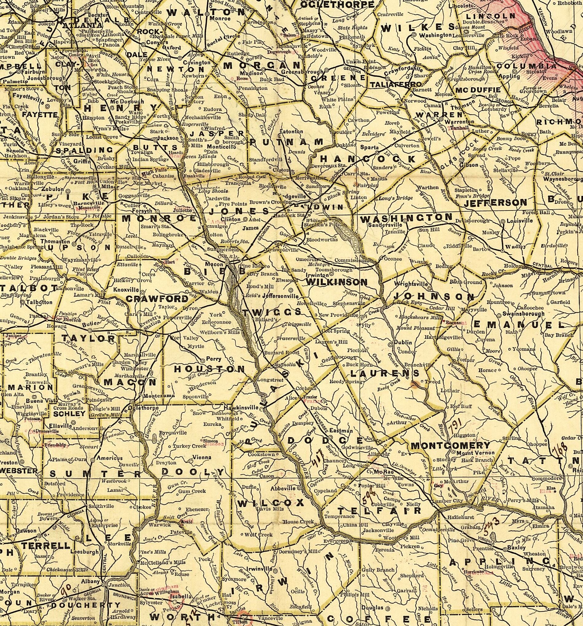
Railroad and county map of Georgia.
Indexed railroad and county map of Georgia. 1841-1928.
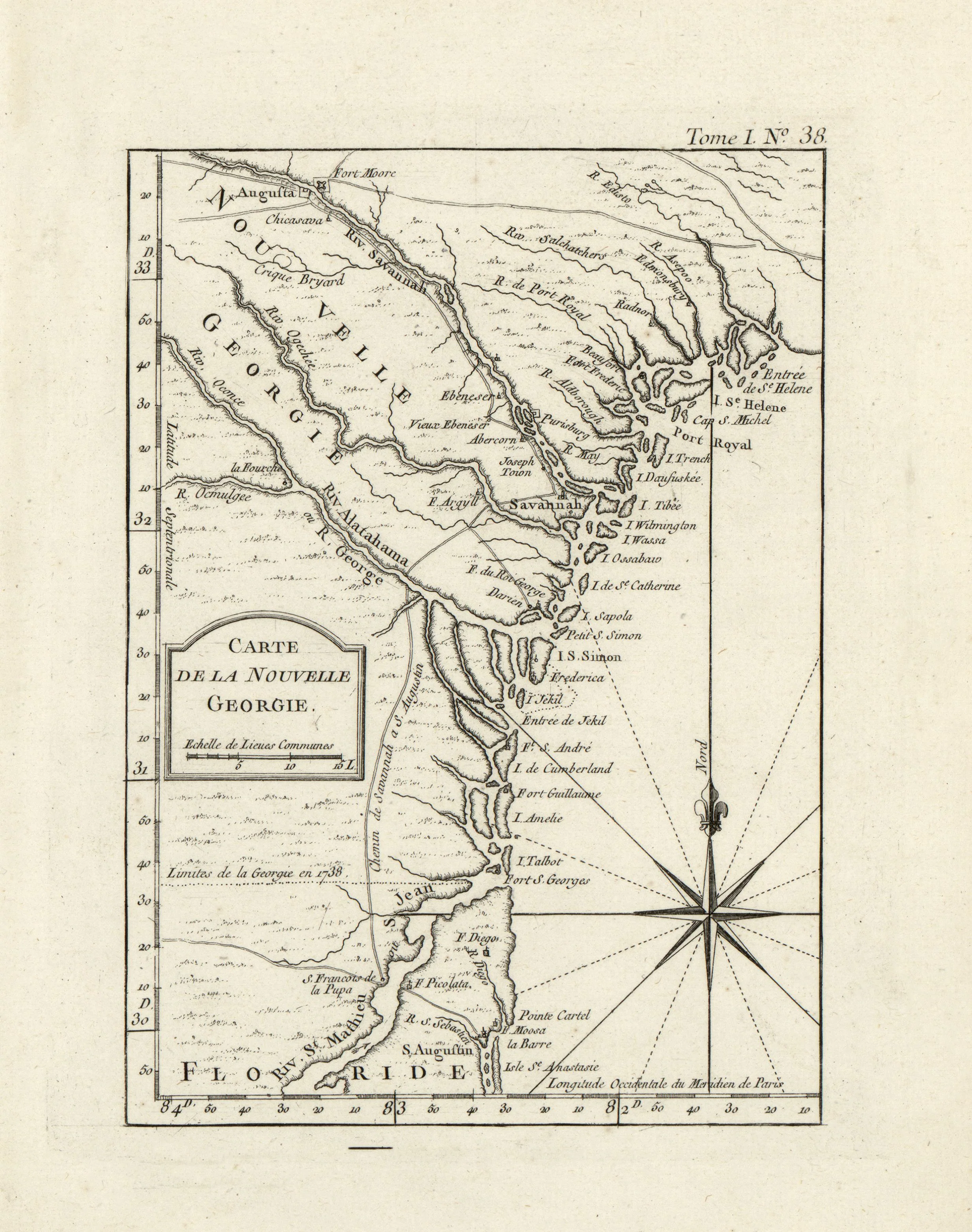
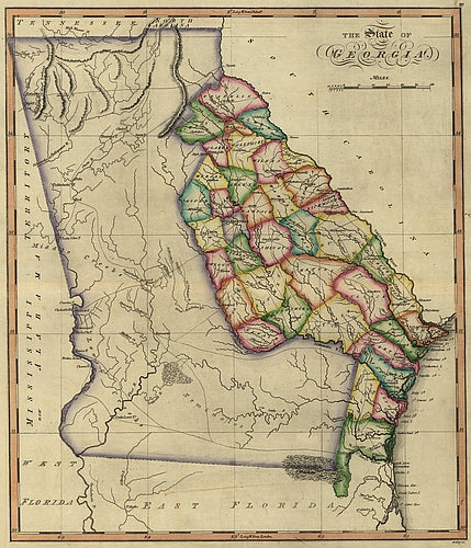
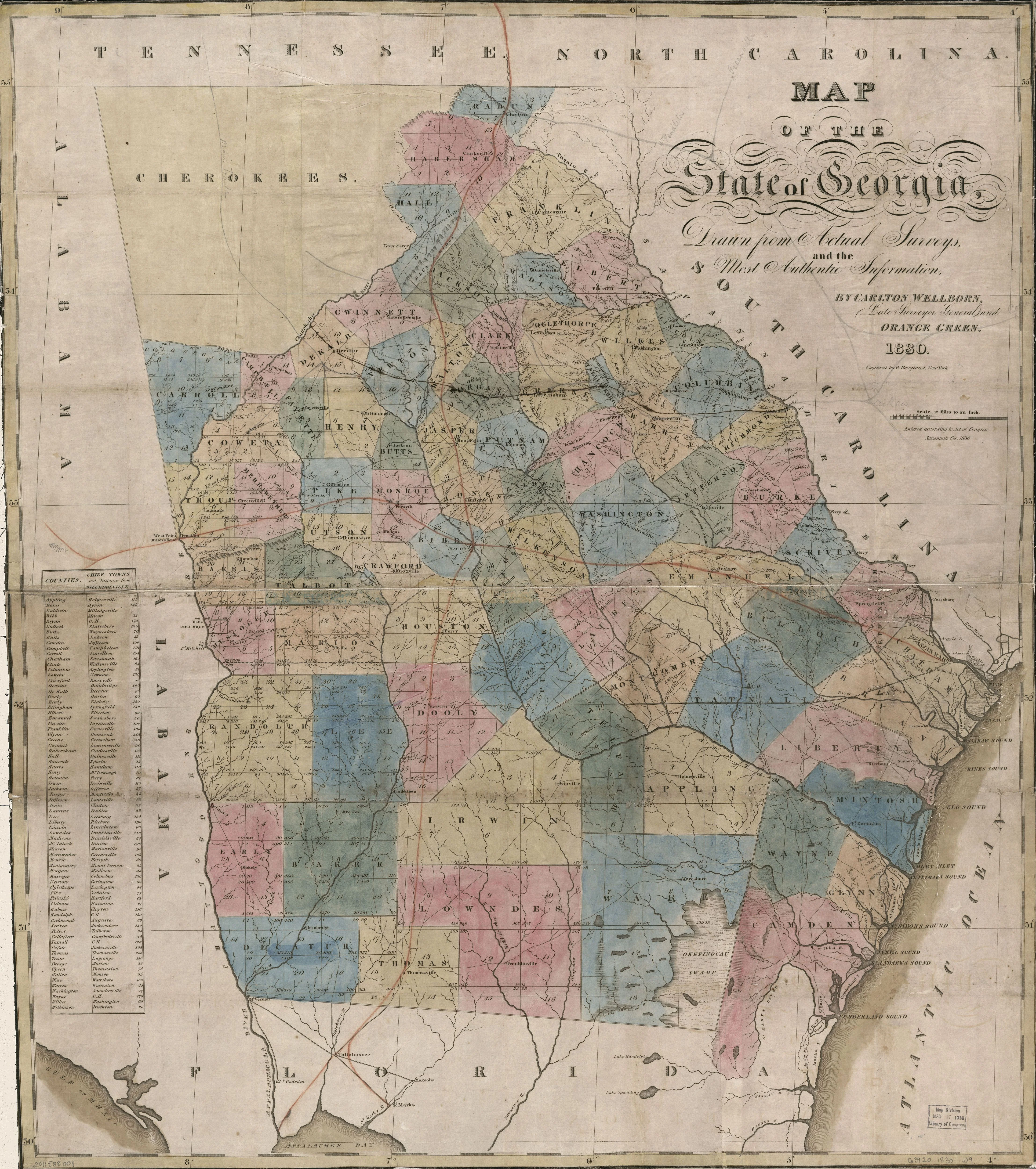
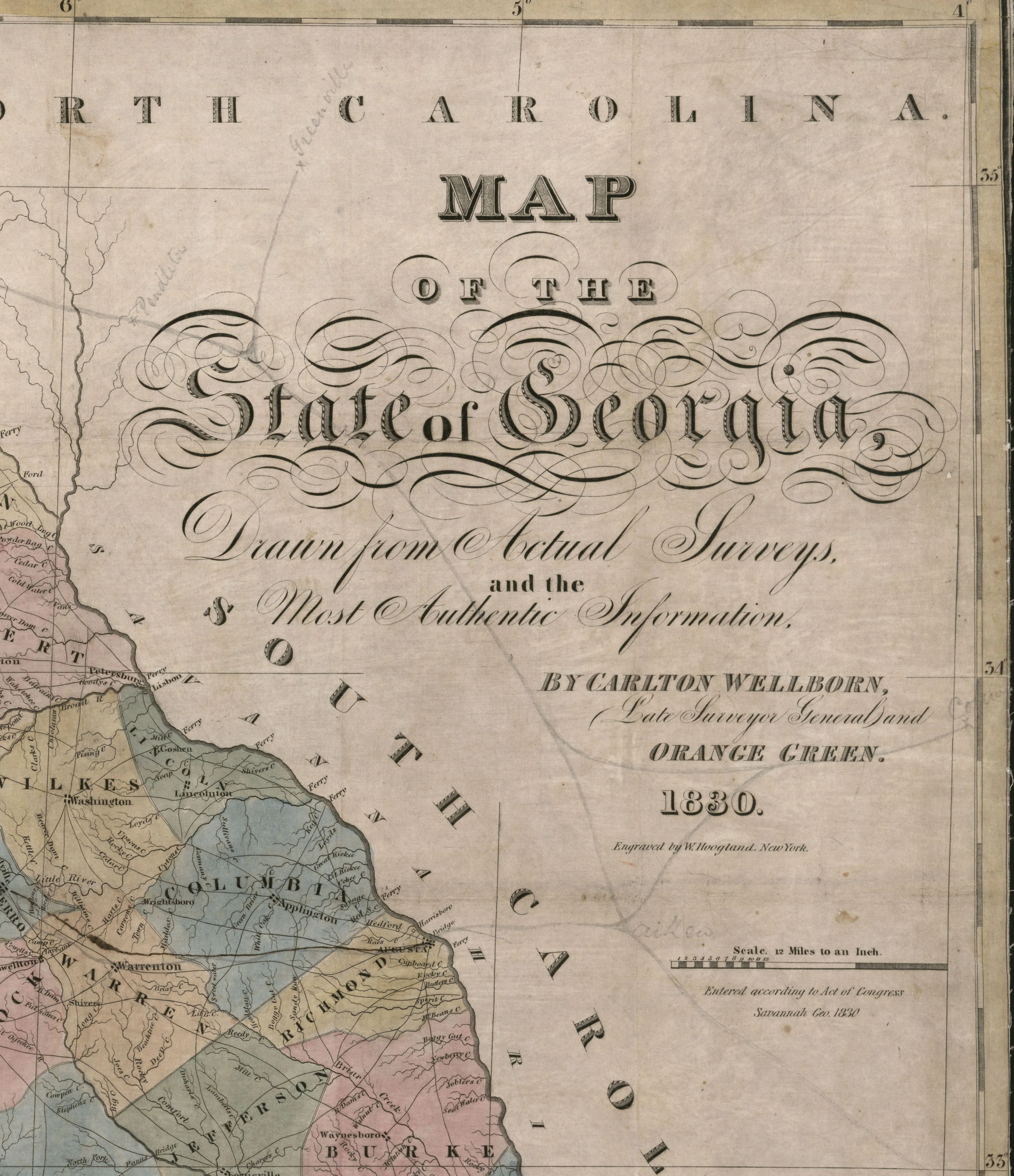
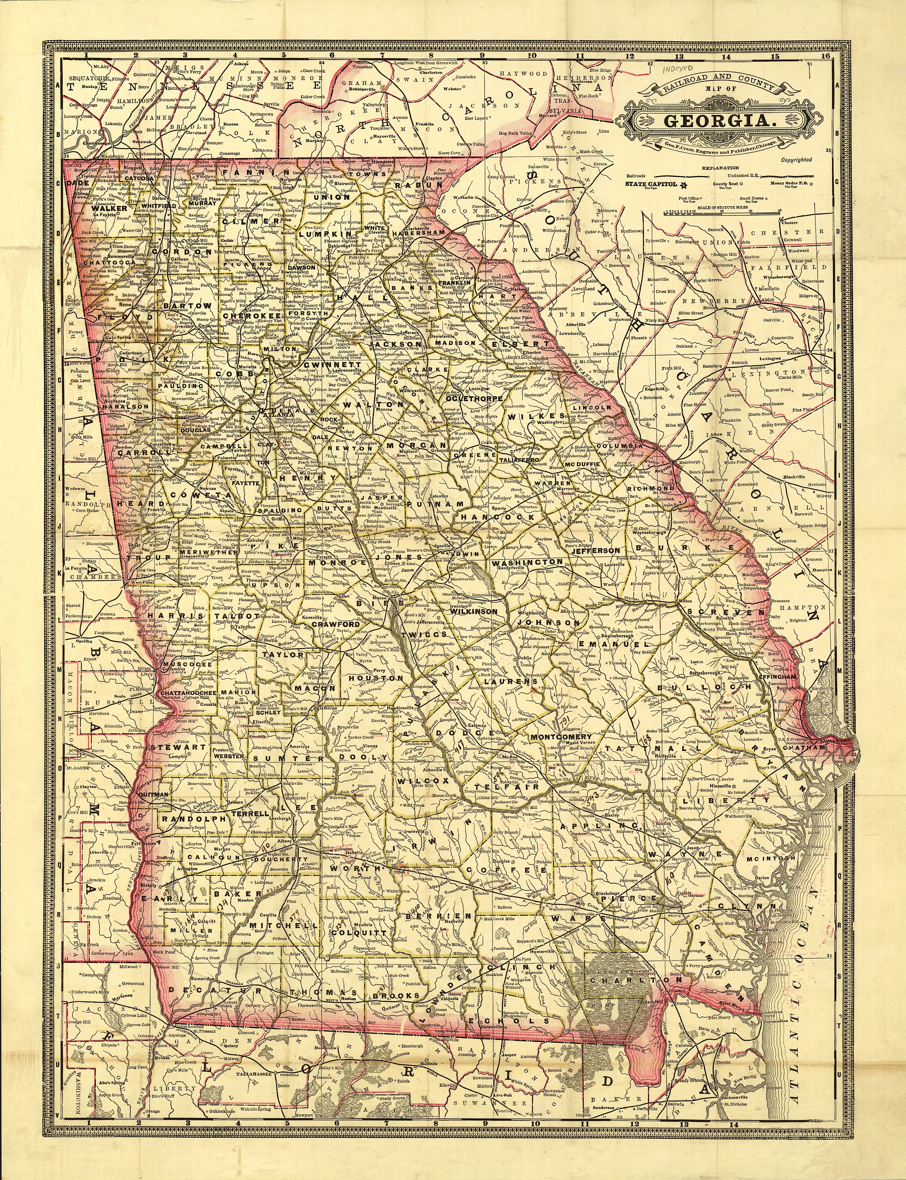
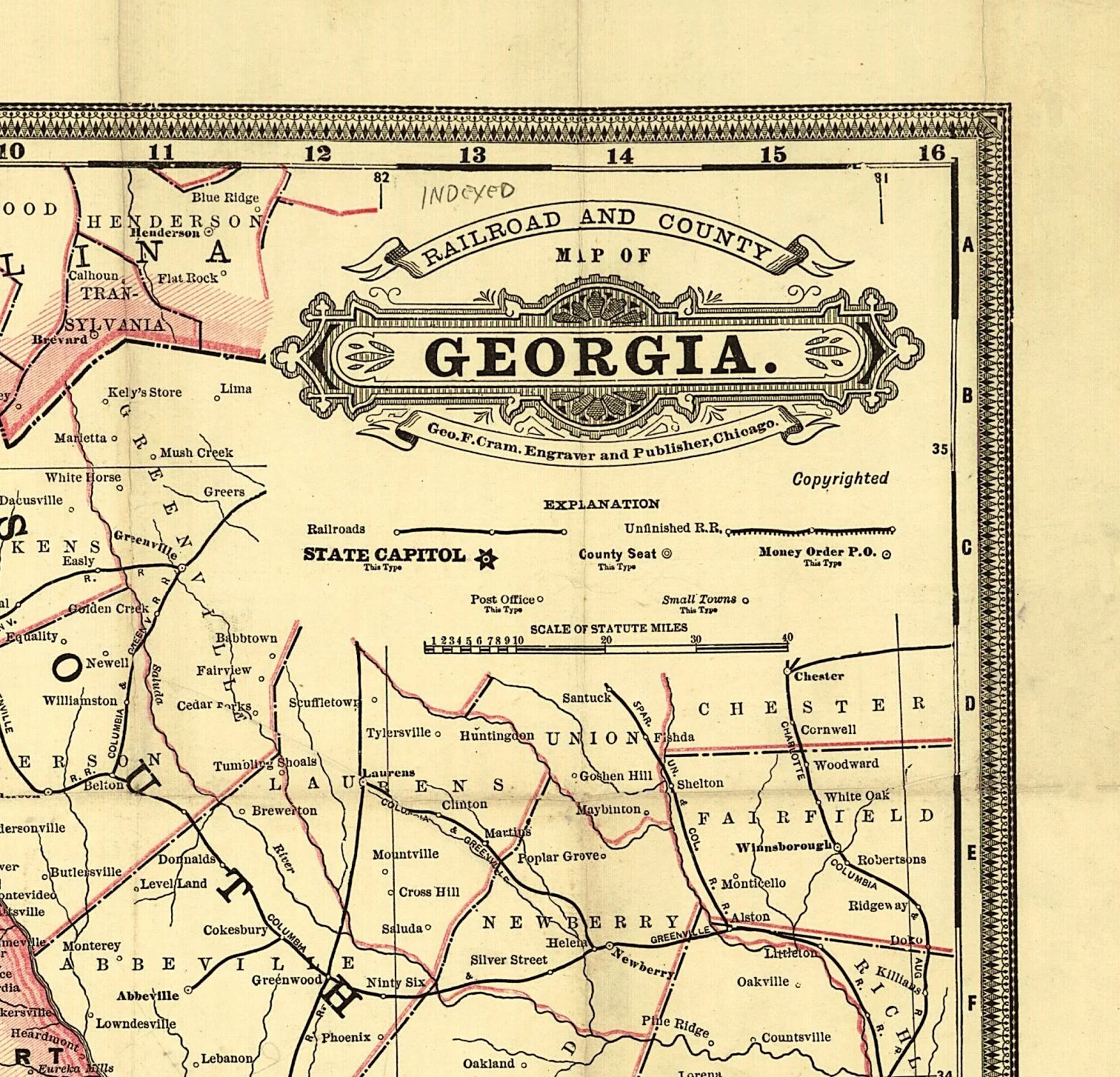
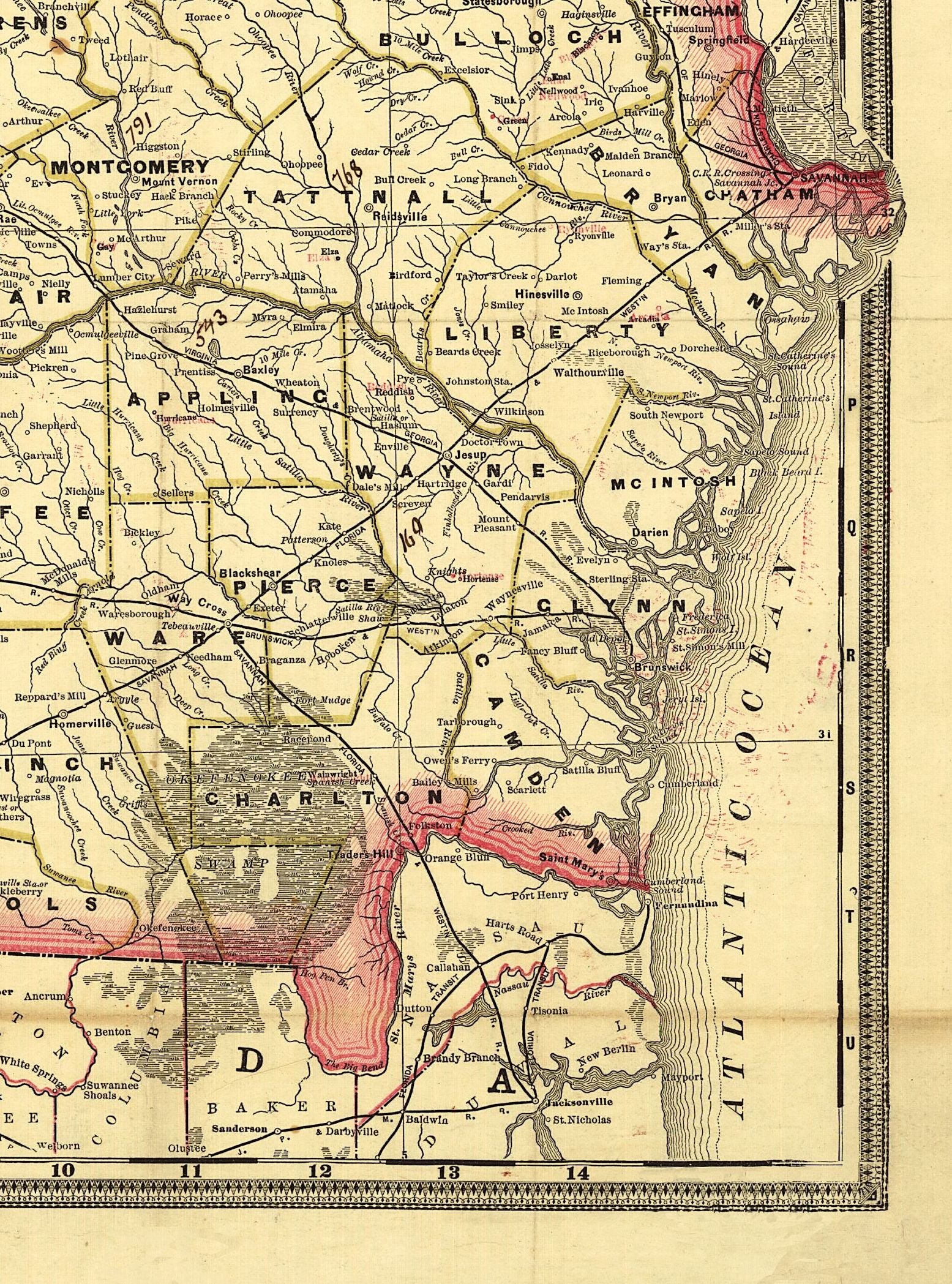
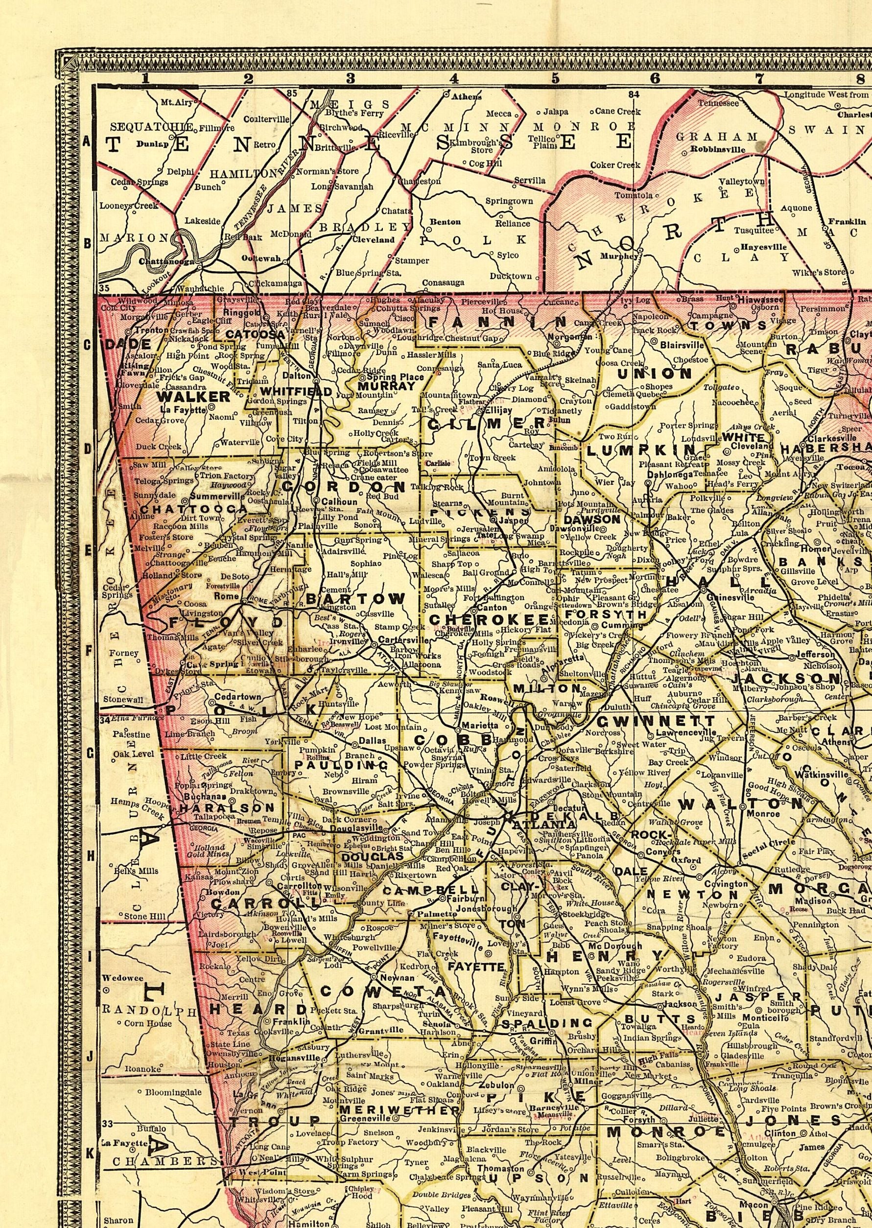
Indexed map showing relief by hachures, drainage, cities and towns, county and township boundaries. Railroads distinguished by color.
This beautiful reproduction is printed on heavy acid free stock using HP 100 year ink and is excellent for framing.
This map comes rolled and shipped in a sturdy cardboard tube.
Size: 16" x 22"
Product Information
Product Information
Shipping & Returns
Shipping & Returns
Railroad and county map of Georgia.
Railroad and county map of Georgia.
Indexed railroad and county map of Georgia. 1841-1928.
Indexed map showing relief by hachures, drainage, cities and towns, county and township boundaries. Railroads distinguished by color.
This beautiful reproduction is printed on heavy acid free stock using HP 100 year ink and is excellent for framing.
This map comes rolled and shipped in a sturdy cardboard tube.
Size: 16" x 22"
Original: $39.95
-65%$39.95
$13.98Product Information
Product Information
Shipping & Returns
Shipping & Returns
Description
Indexed railroad and county map of Georgia. 1841-1928.
Indexed map showing relief by hachures, drainage, cities and towns, county and township boundaries. Railroads distinguished by color.
This beautiful reproduction is printed on heavy acid free stock using HP 100 year ink and is excellent for framing.
This map comes rolled and shipped in a sturdy cardboard tube.
Size: 16" x 22"