🚚 Free Worldwide Shipping on All Orders!Shop Now
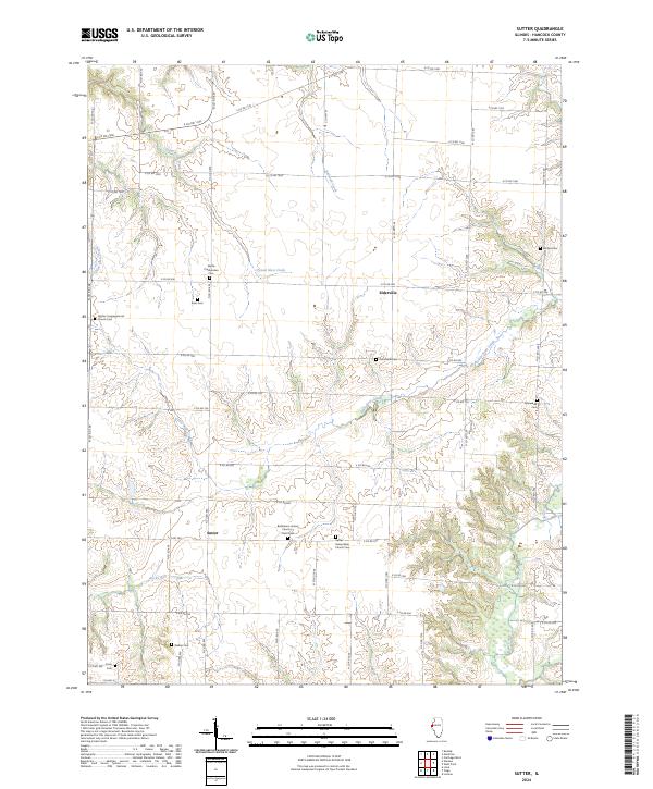
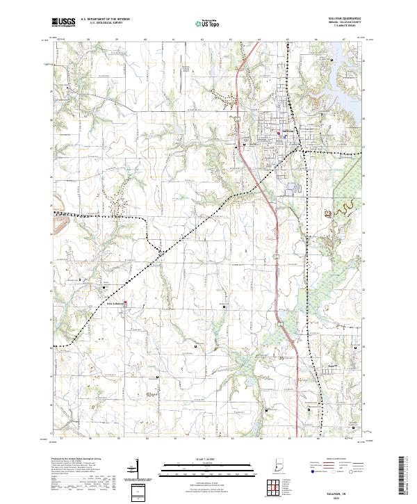
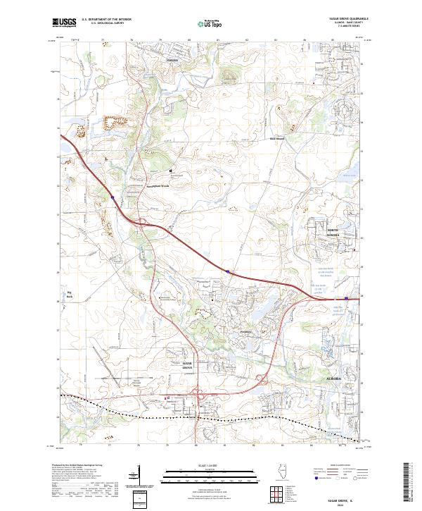
USGS US Topo 7.5-minute map for Canton MOIL 2021
This is the current USGS topographic map for this quadrangle. Printed on waterproof, crease resistant paper, using HP fade resistant inks, this map comes rolled and shipped in a sturdy carboard tube. The map contains contour data, water features, roads and other features. Scale is 1:24,000. Printed size is 24" W x 29" H
Product Information
Product Information
Shipping & Returns
Shipping & Returns

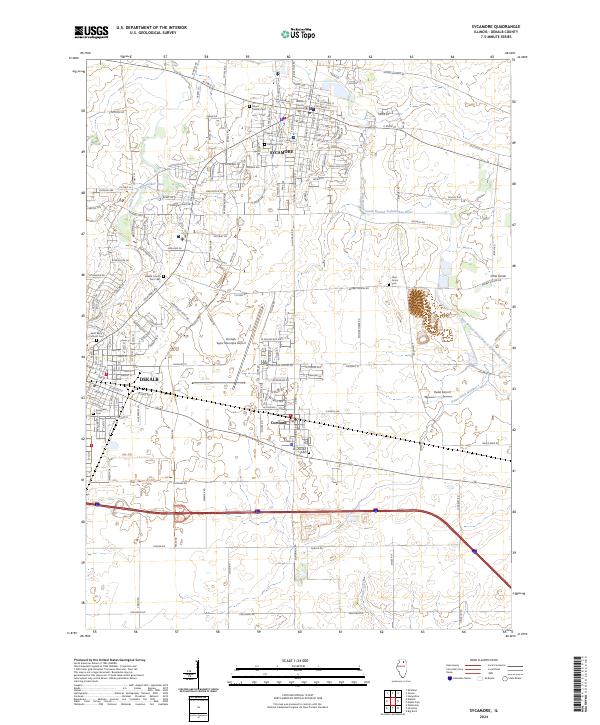
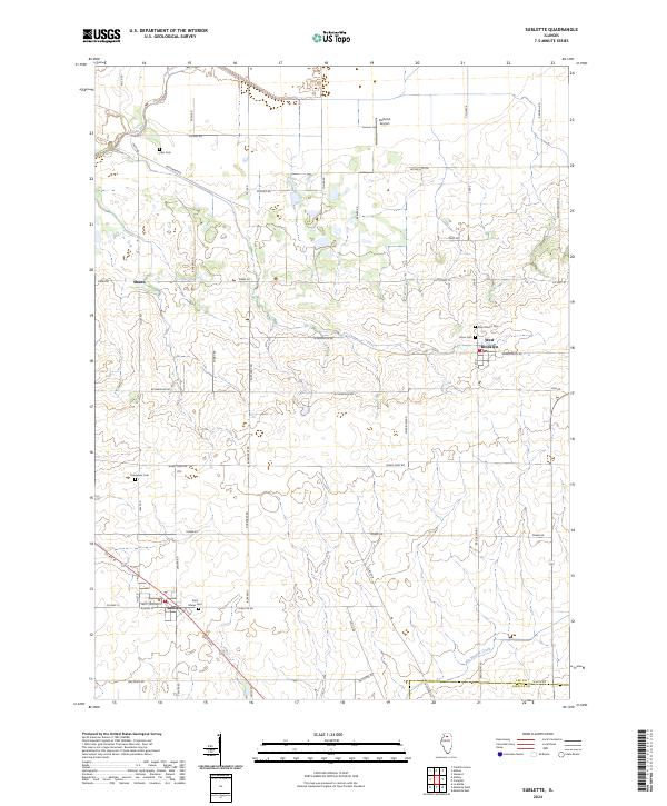
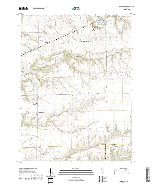
USGS US Topo 7.5-minute map for Canton MOIL 2021
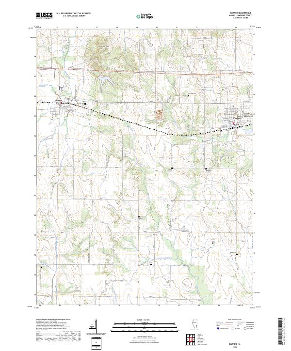
USGS US Topo 7.5-minute map for Canton MOIL 2021
This is the current USGS topographic map for this quadrangle. Printed on waterproof, crease resistant paper, using HP fade resistant inks, this map comes rolled and shipped in a sturdy carboard tube. The map contains contour data, water features, roads and other features. Scale is 1:24,000. Printed size is 24" W x 29" H
$8.73
Original: $24.95
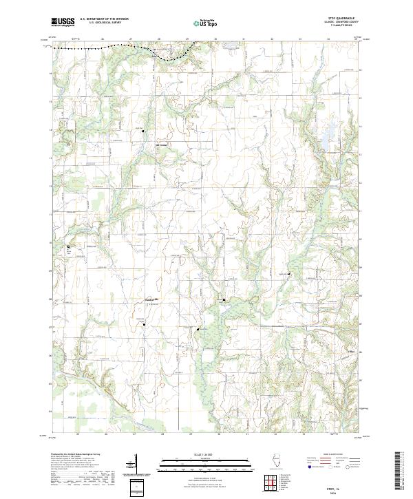
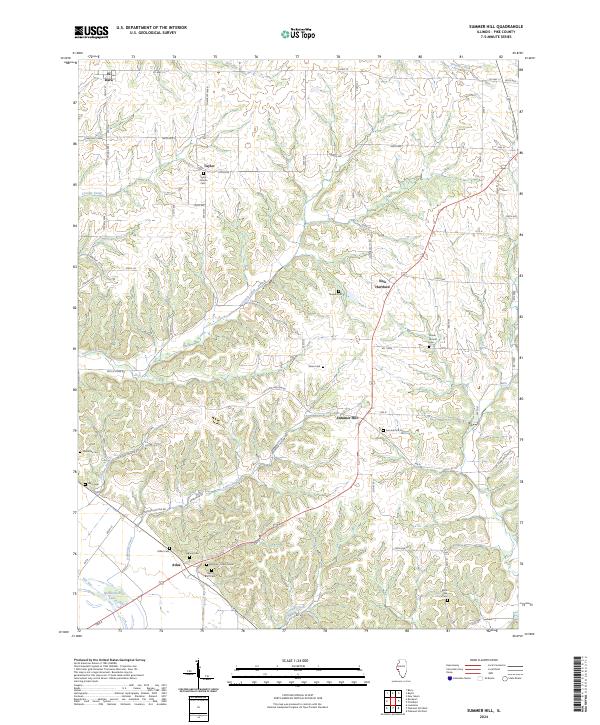
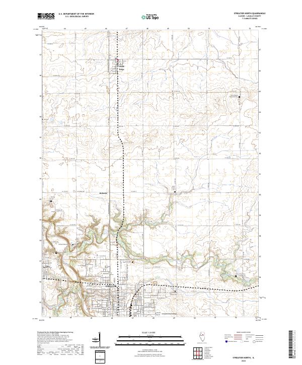
-65%USGS US Topo 7.5-minute map for Canton MOIL 2021—
$24.95
$8.73Product Information
Product Information
Shipping & Returns
Shipping & Returns
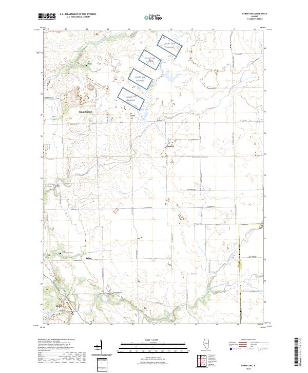
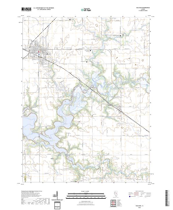
Description
This is the current USGS topographic map for this quadrangle. Printed on waterproof, crease resistant paper, using HP fade resistant inks, this map comes rolled and shipped in a sturdy carboard tube. The map contains contour data, water features, roads and other features. Scale is 1:24,000. Printed size is 24" W x 29" H