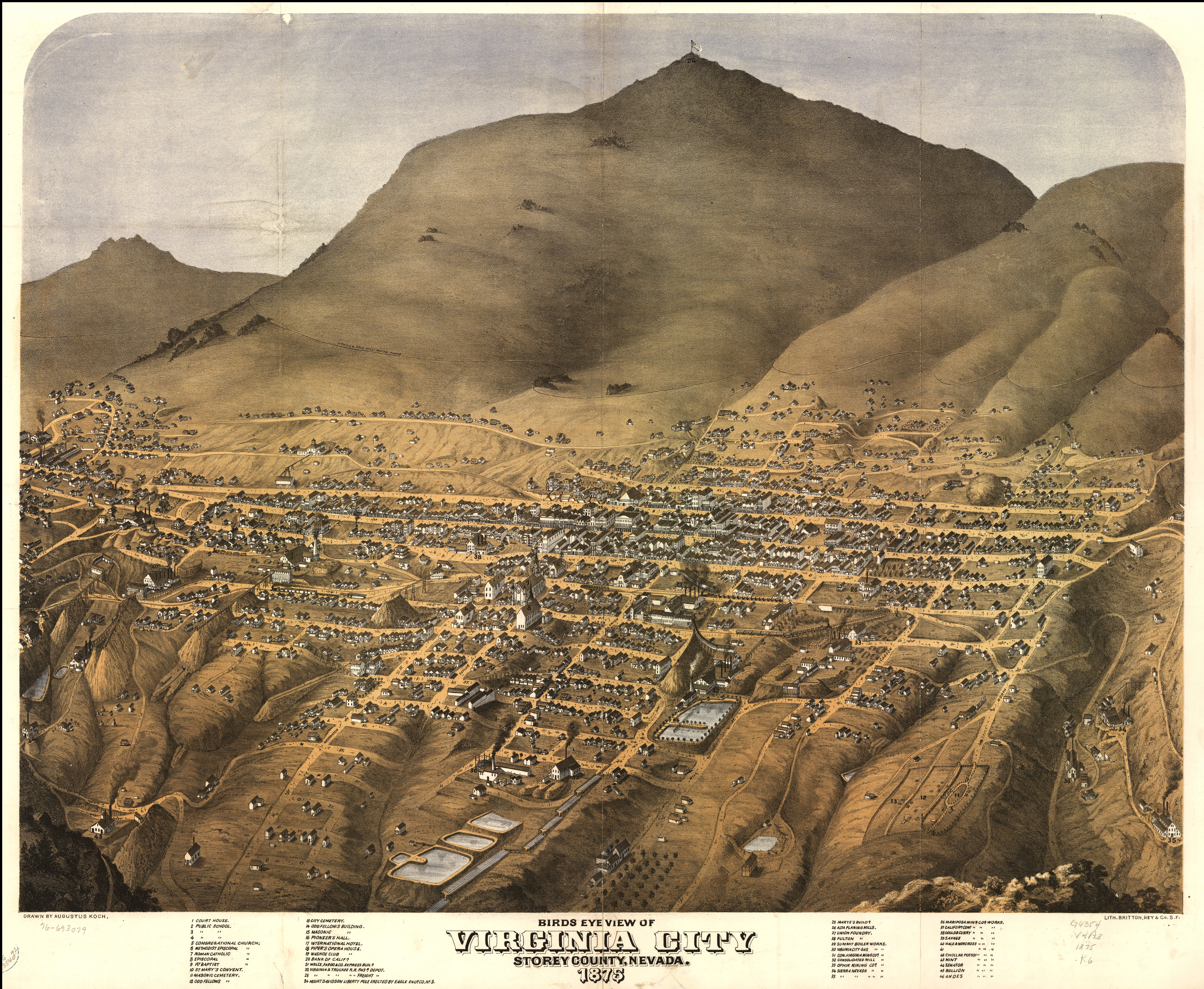
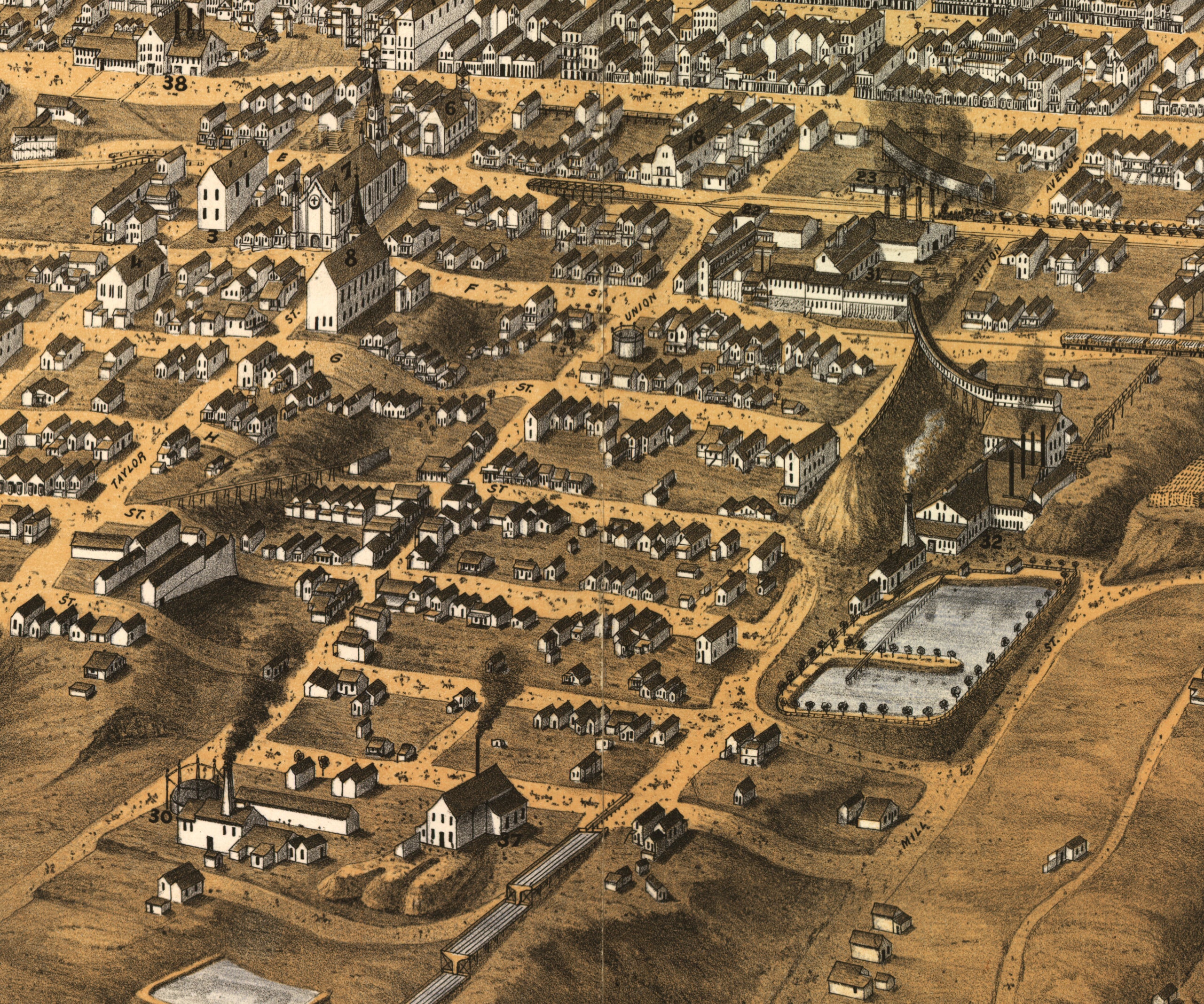
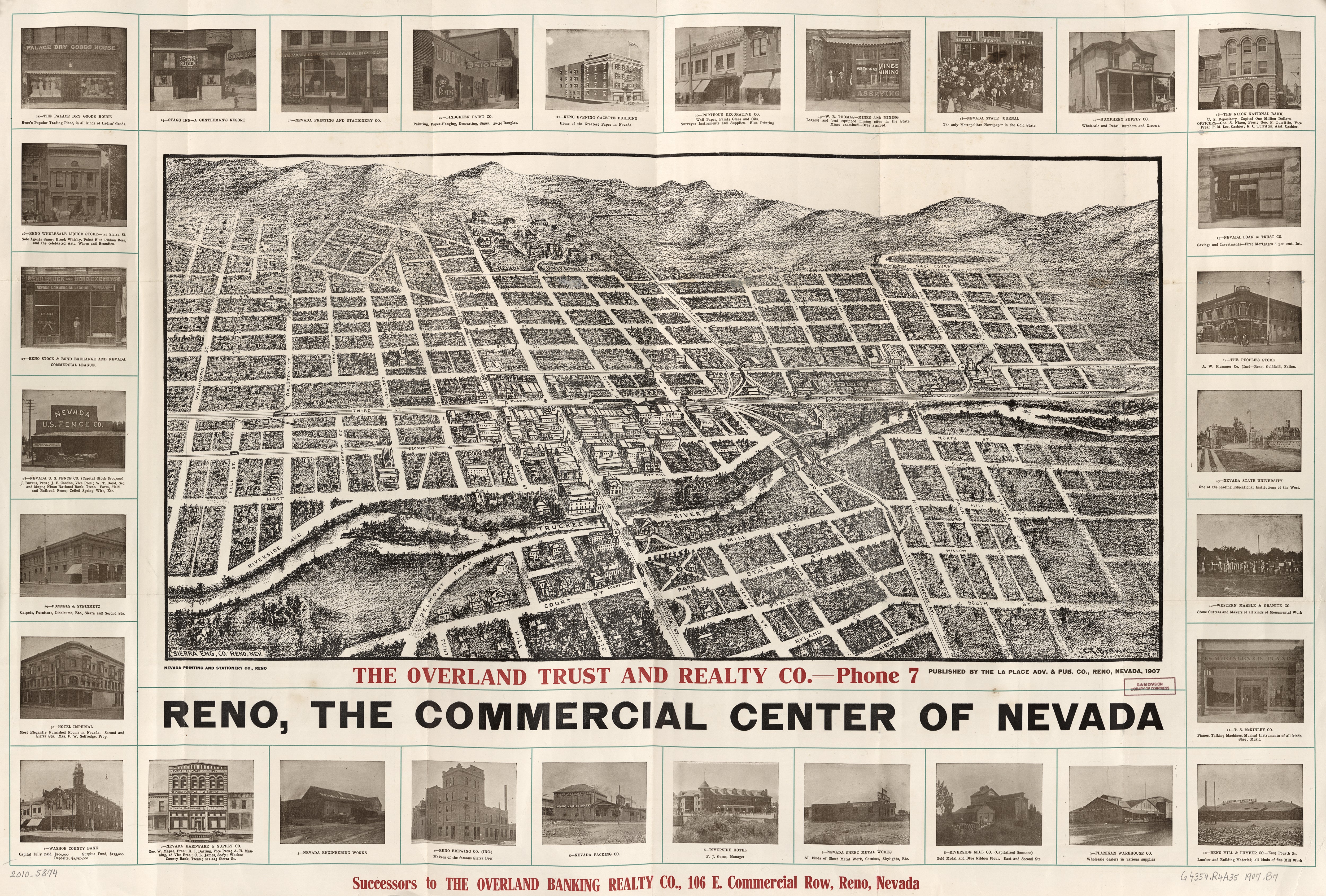
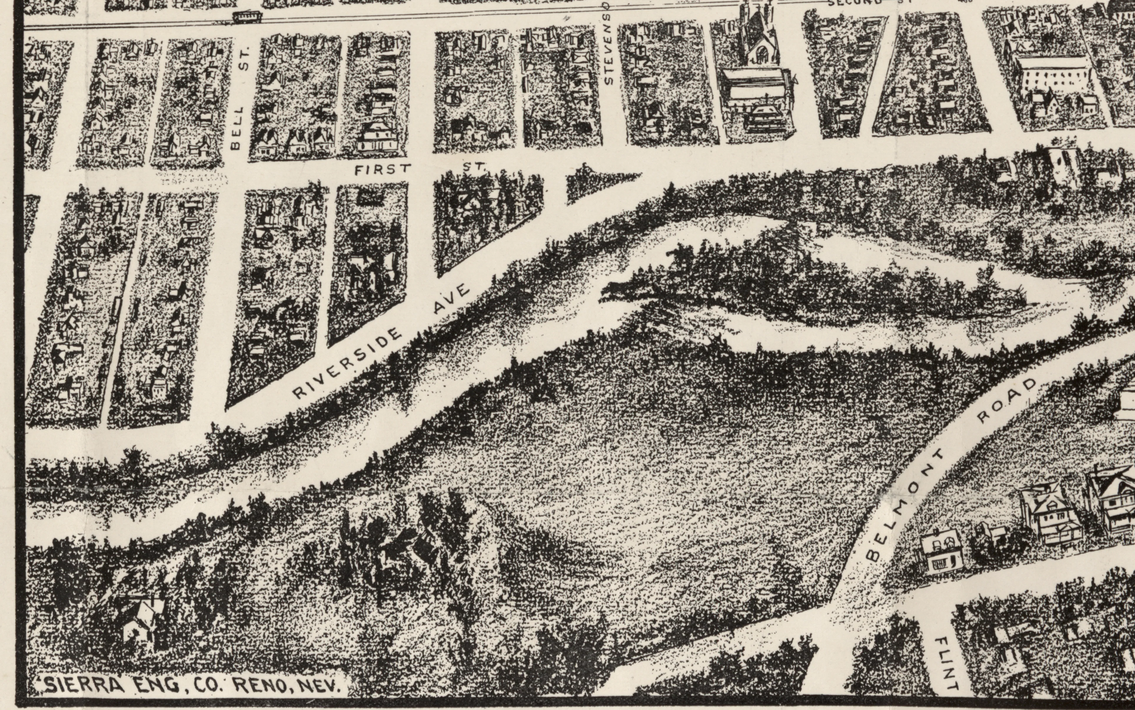
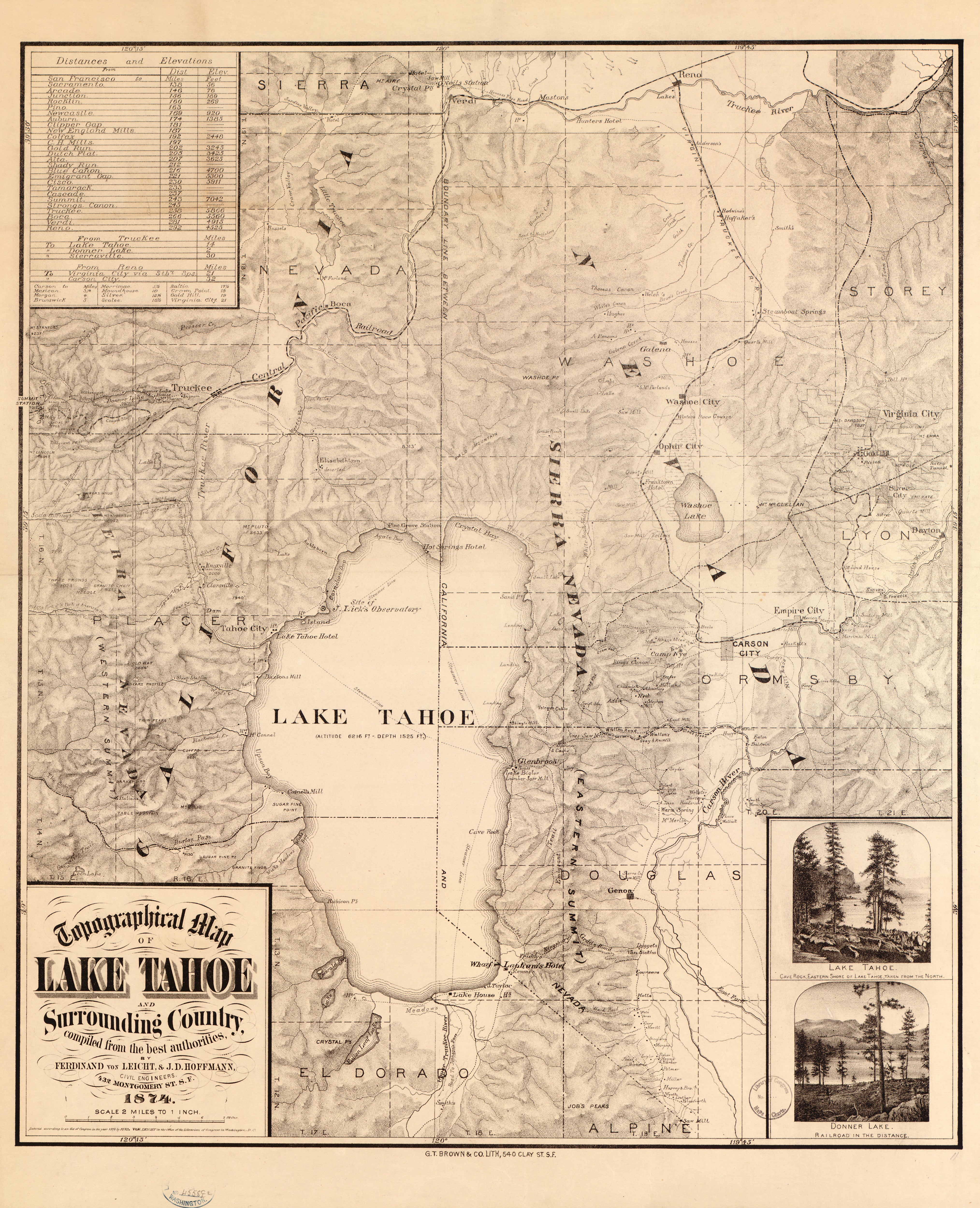
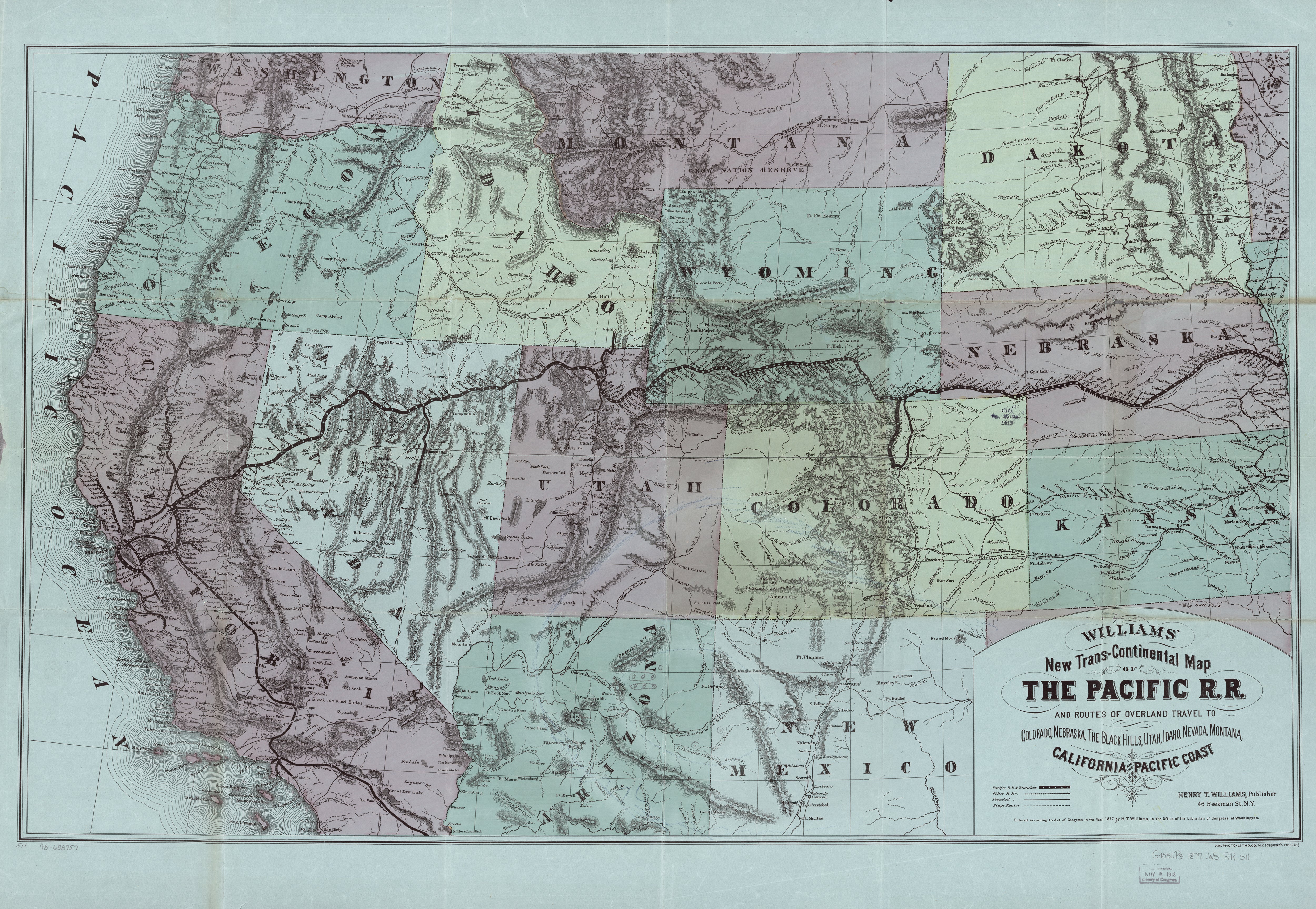
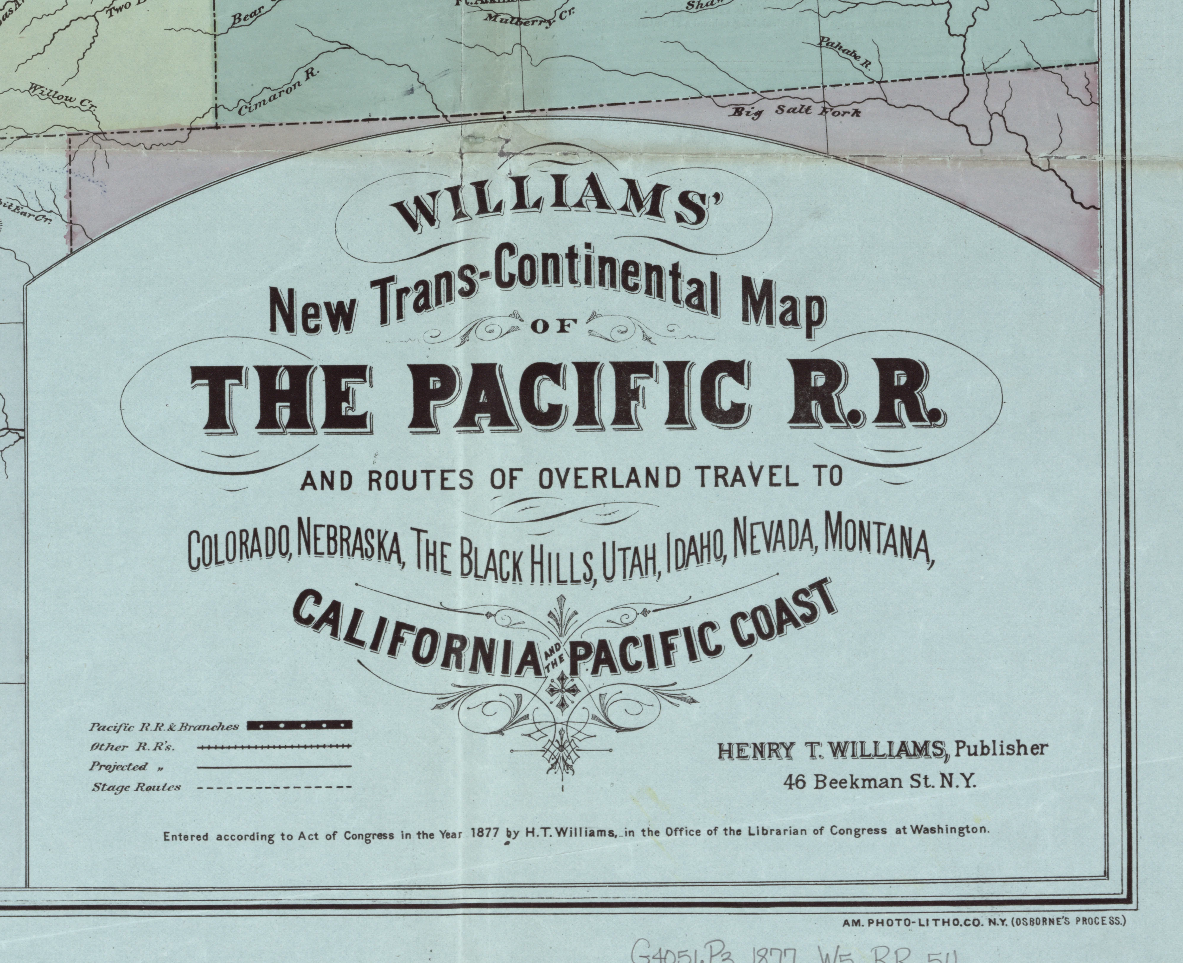
Transcontinental Map of the Pacific Railroad, 1877
This beautiful antique map reproduction is printed on heavy acid-free stock with fade proof inks and is excellent for framing. This map shows routes of overland travel to Colorado, Nebraska, the Black Hills, Utah, Idaho, Nevada, Montana, California and the Pacific Coast.
Copyright 1877
Size: 38" × 26"
Product Information
Product Information
Shipping & Returns
Shipping & Returns


Transcontinental Map of the Pacific Railroad, 1877
Transcontinental Map of the Pacific Railroad, 1877
This beautiful antique map reproduction is printed on heavy acid-free stock with fade proof inks and is excellent for framing. This map shows routes of overland travel to Colorado, Nebraska, the Black Hills, Utah, Idaho, Nevada, Montana, California and the Pacific Coast.
Copyright 1877
Size: 38" × 26"
Product Information
Product Information
Shipping & Returns
Shipping & Returns
Description
This beautiful antique map reproduction is printed on heavy acid-free stock with fade proof inks and is excellent for framing. This map shows routes of overland travel to Colorado, Nebraska, the Black Hills, Utah, Idaho, Nevada, Montana, California and the Pacific Coast.
Copyright 1877
Size: 38" × 26"