Suffolk County, New York
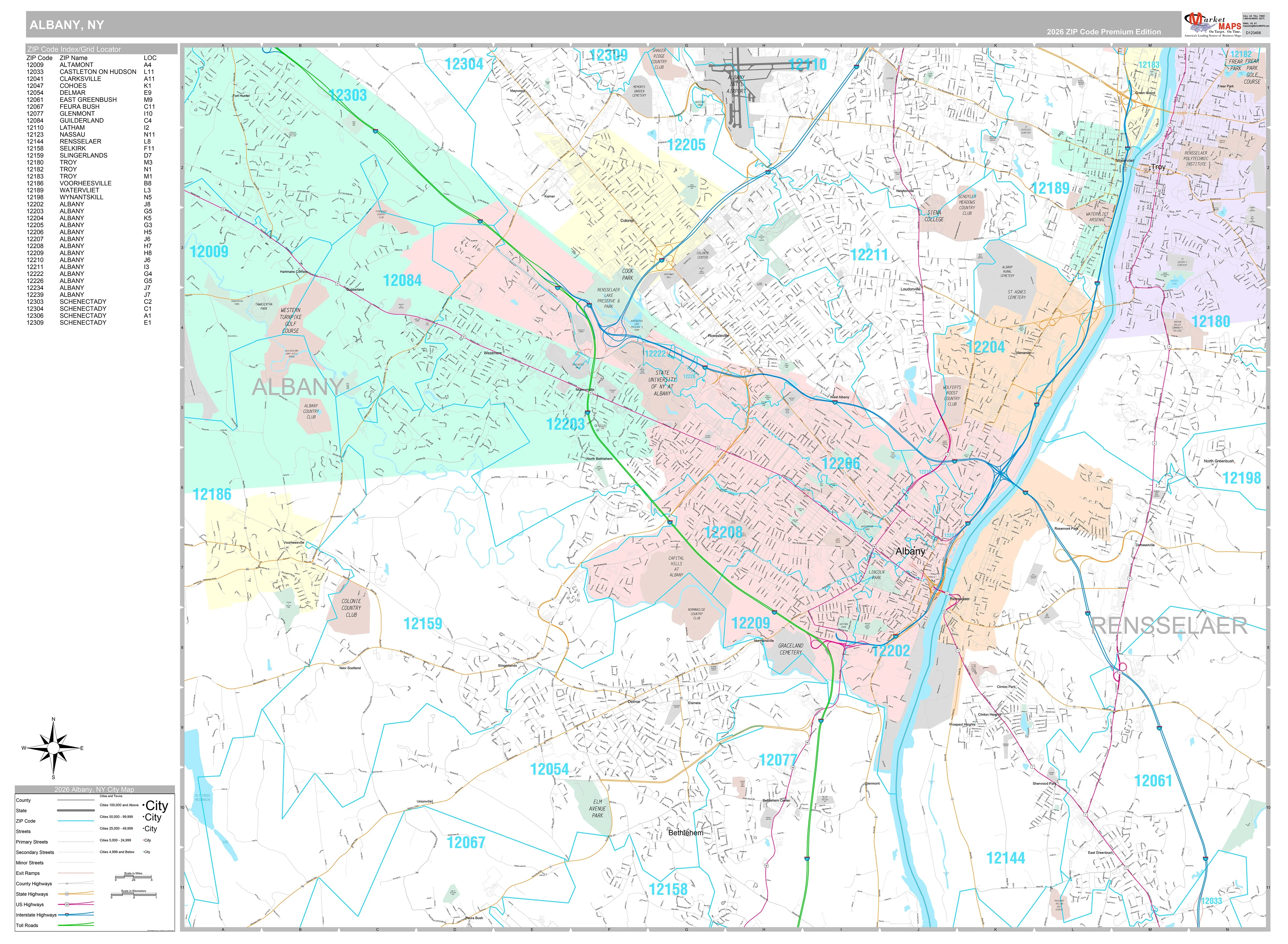
This map of Suffolk County, New York shows regional level information. Base map features include highways and major roads with labelling; railways; high level land use such as parks and recreation areas; and a selection of points of interest including transportation hubs like airports and train stations, tourist information and police stations. Includes zip codes and boundaries.
This map is rolled and shipped in a sturdy cardboard tube.
Product Information
Product Information
Shipping & Returns
Shipping & Returns

Suffolk County, New York
Suffolk County, New York
This map of Suffolk County, New York shows regional level information. Base map features include highways and major roads with labelling; railways; high level land use such as parks and recreation areas; and a selection of points of interest including transportation hubs like airports and train stations, tourist information and police stations. Includes zip codes and boundaries.
This map is rolled and shipped in a sturdy cardboard tube.
Original: $69.95
-65%$69.95
$24.48Product Information
Product Information
Shipping & Returns
Shipping & Returns
Description
This map of Suffolk County, New York shows regional level information. Base map features include highways and major roads with labelling; railways; high level land use such as parks and recreation areas; and a selection of points of interest including transportation hubs like airports and train stations, tourist information and police stations. Includes zip codes and boundaries.
This map is rolled and shipped in a sturdy cardboard tube.