🚚 Free Worldwide Shipping on All Orders!Shop Now
Raleigh, Durham, Chapel Hill - The Research Triangle Region Wall Map
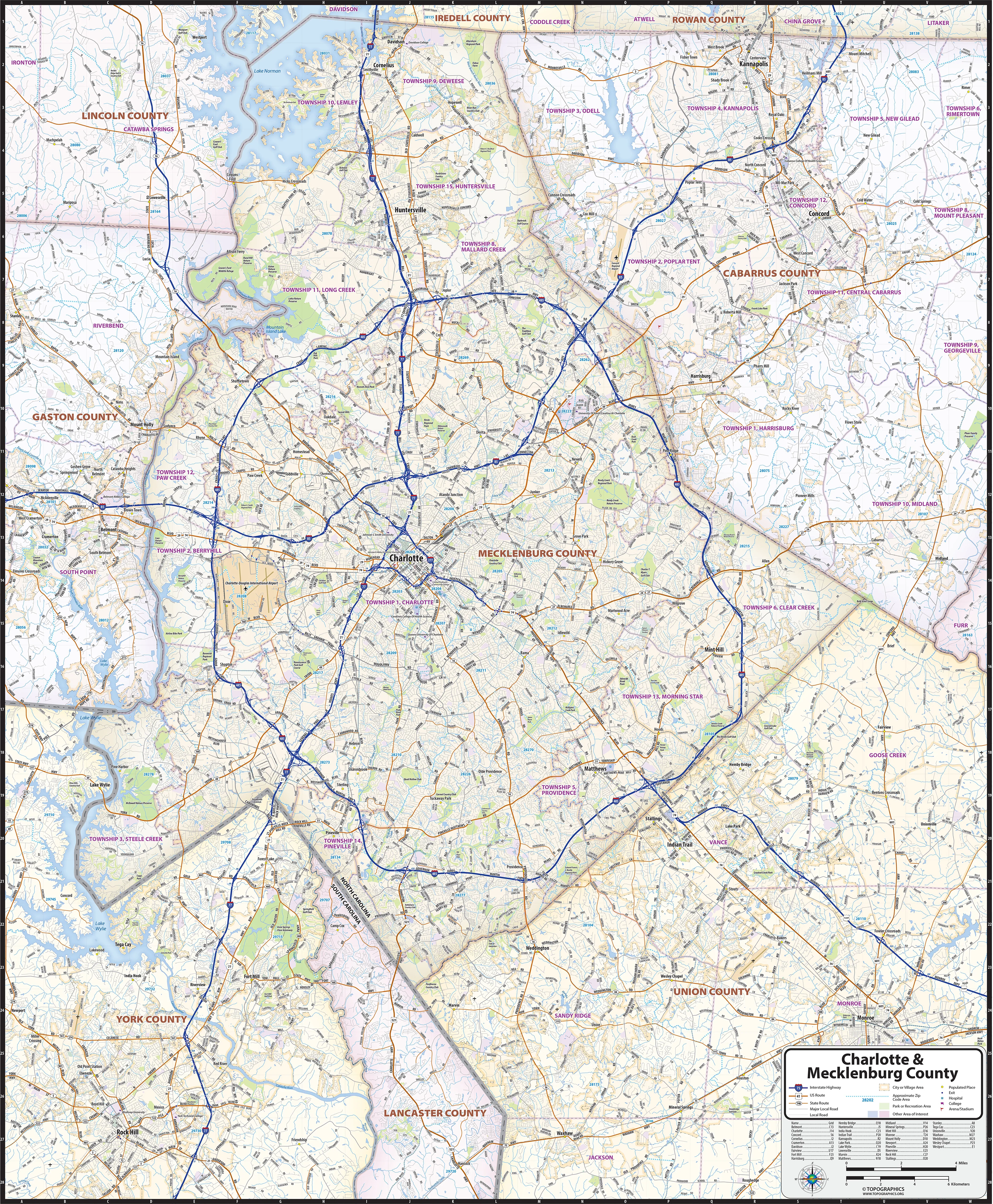
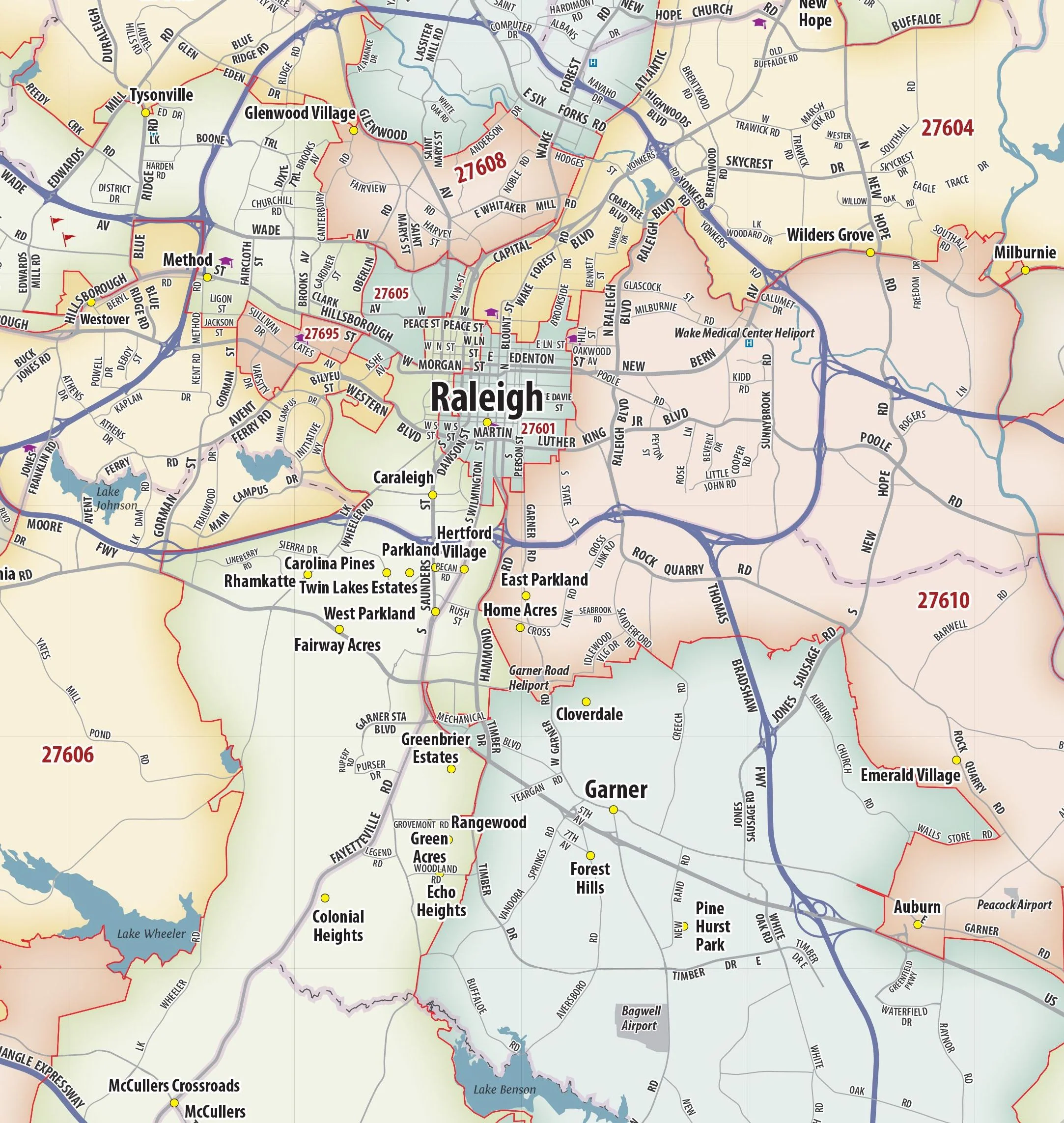
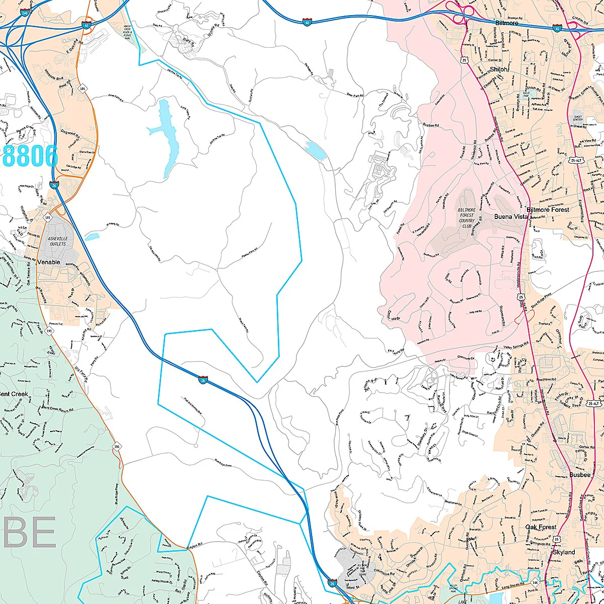
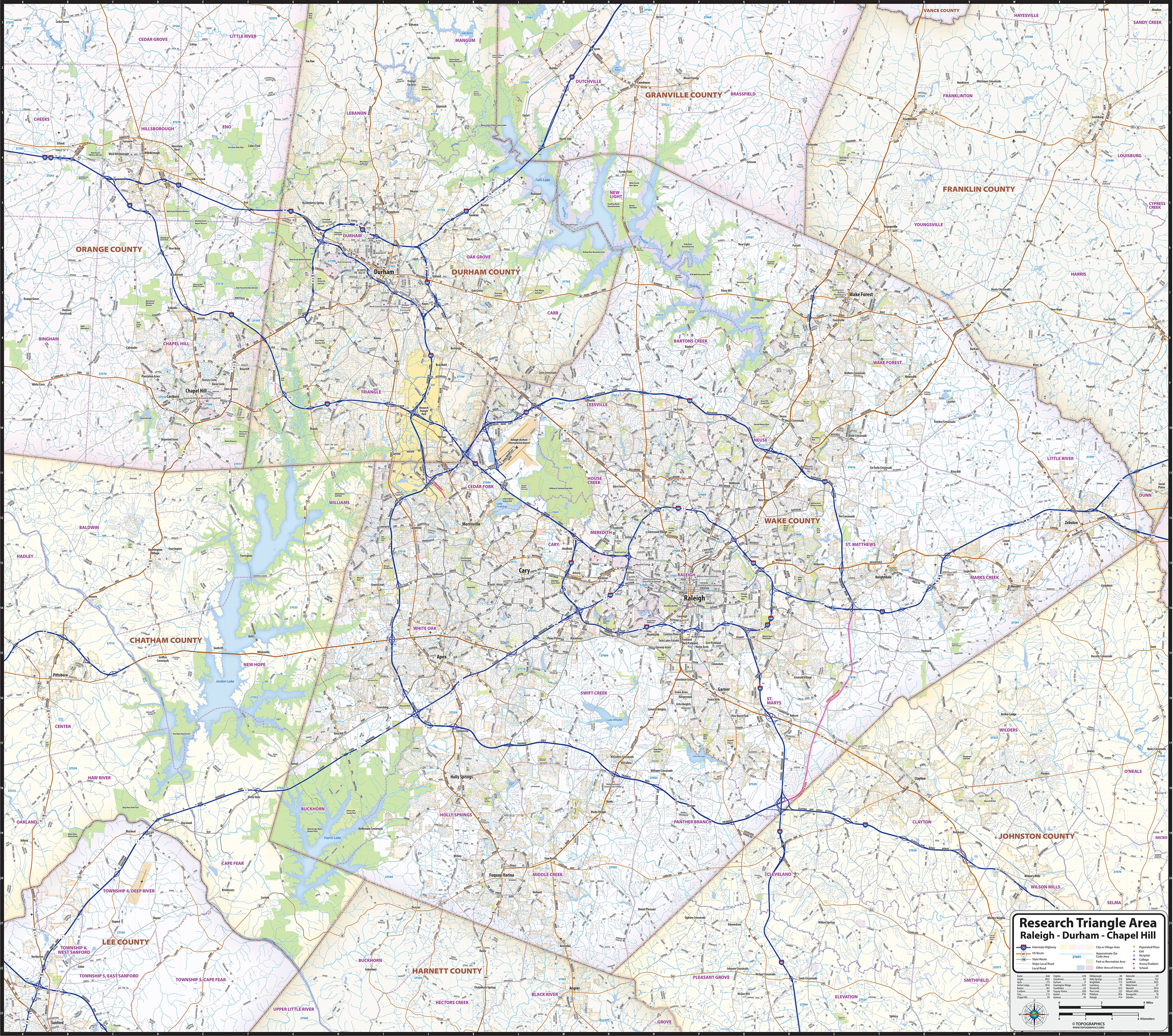
Our Research Triangle Area wall map shows a 50 mile by 45 mile area comprising the Raleigh - Durham - Chapel Hill region of North Carolina. The map shows towns, counties, major and secondary highways and routes, as well as major points of interest. Note: due to the vast extent of this map, local street names are not shown.
This map comes in a variety of sizes and finishing options. It is shipped rolled in a sturdy cardboard tube.
Product Information
Product Information
Shipping & Returns
Shipping & Returns


Raleigh, Durham, Chapel Hill - The Research Triangle Region Wall Map
Raleigh, Durham, Chapel Hill - The Research Triangle Region Wall Map
Our Research Triangle Area wall map shows a 50 mile by 45 mile area comprising the Raleigh - Durham - Chapel Hill region of North Carolina. The map shows towns, counties, major and secondary highways and routes, as well as major points of interest. Note: due to the vast extent of this map, local street names are not shown.
This map comes in a variety of sizes and finishing options. It is shipped rolled in a sturdy cardboard tube.
Select Size
Select Material
From $34.98
Original: $99.95
-65%Raleigh, Durham, Chapel Hill - The Research Triangle Region Wall Map—
$99.95
$34.98Product Information
Product Information
Shipping & Returns
Shipping & Returns
Description
Our Research Triangle Area wall map shows a 50 mile by 45 mile area comprising the Raleigh - Durham - Chapel Hill region of North Carolina. The map shows towns, counties, major and secondary highways and routes, as well as major points of interest. Note: due to the vast extent of this map, local street names are not shown.
This map comes in a variety of sizes and finishing options. It is shipped rolled in a sturdy cardboard tube.