Mobile Metro Area Wall Map
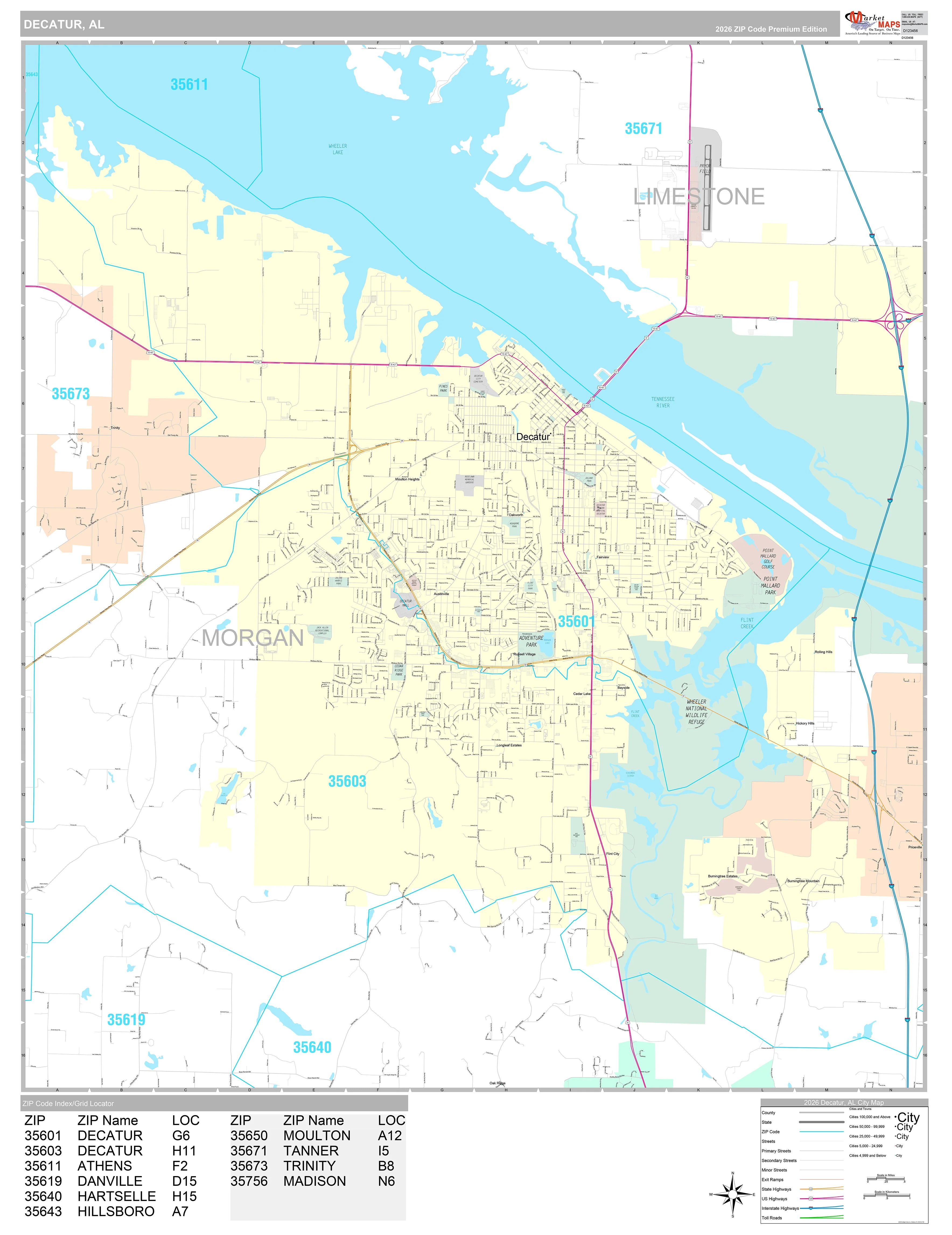
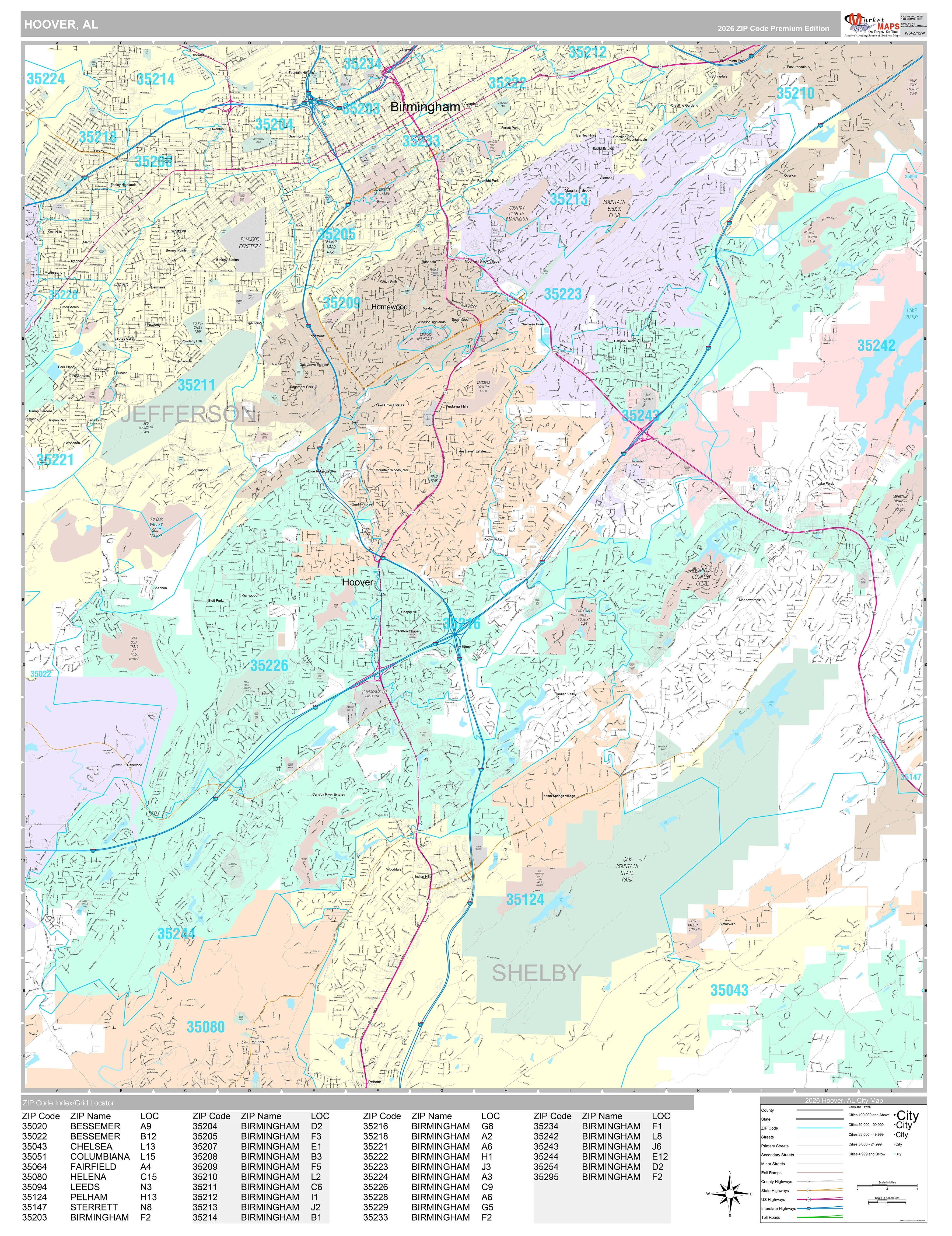
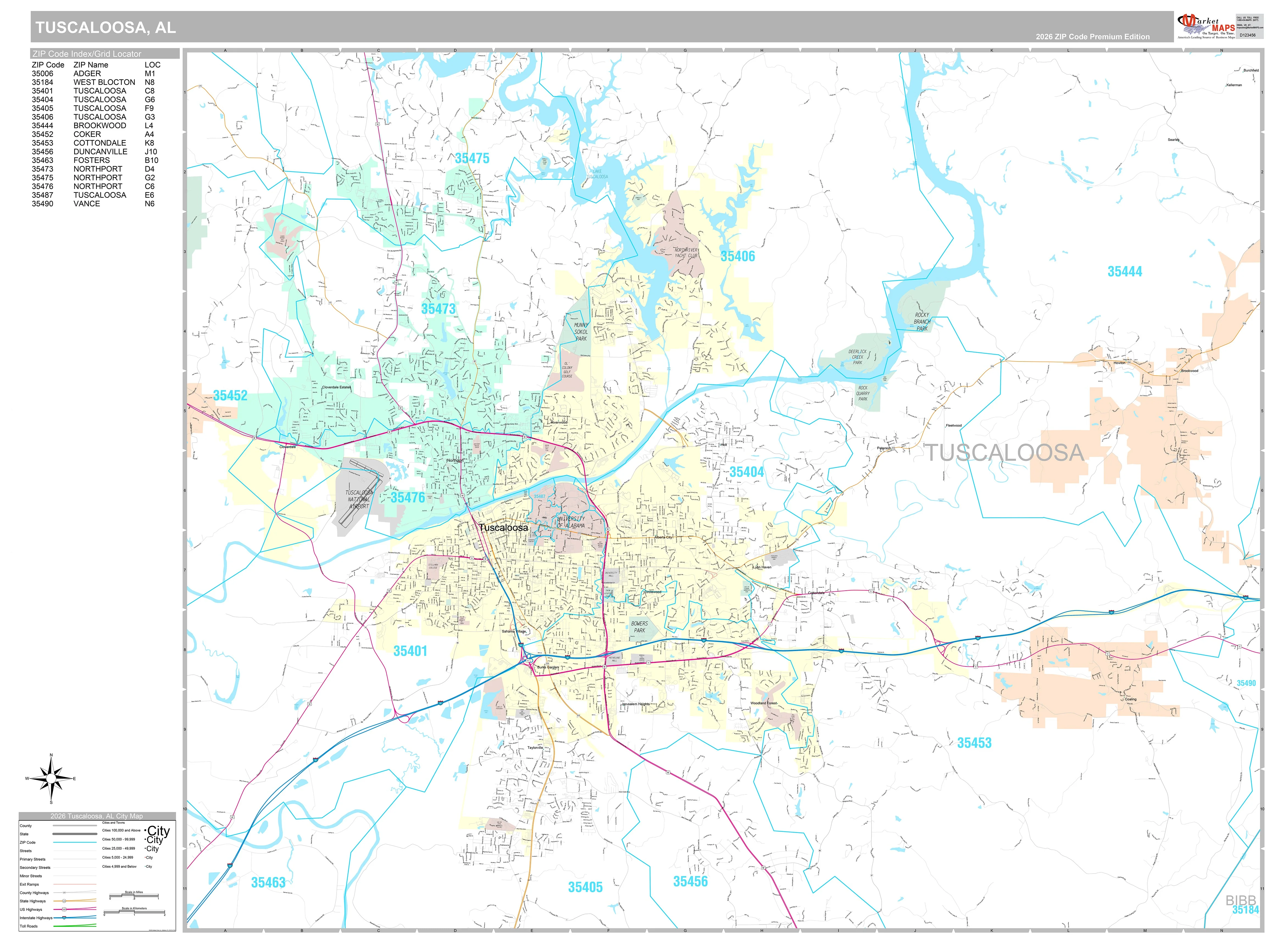
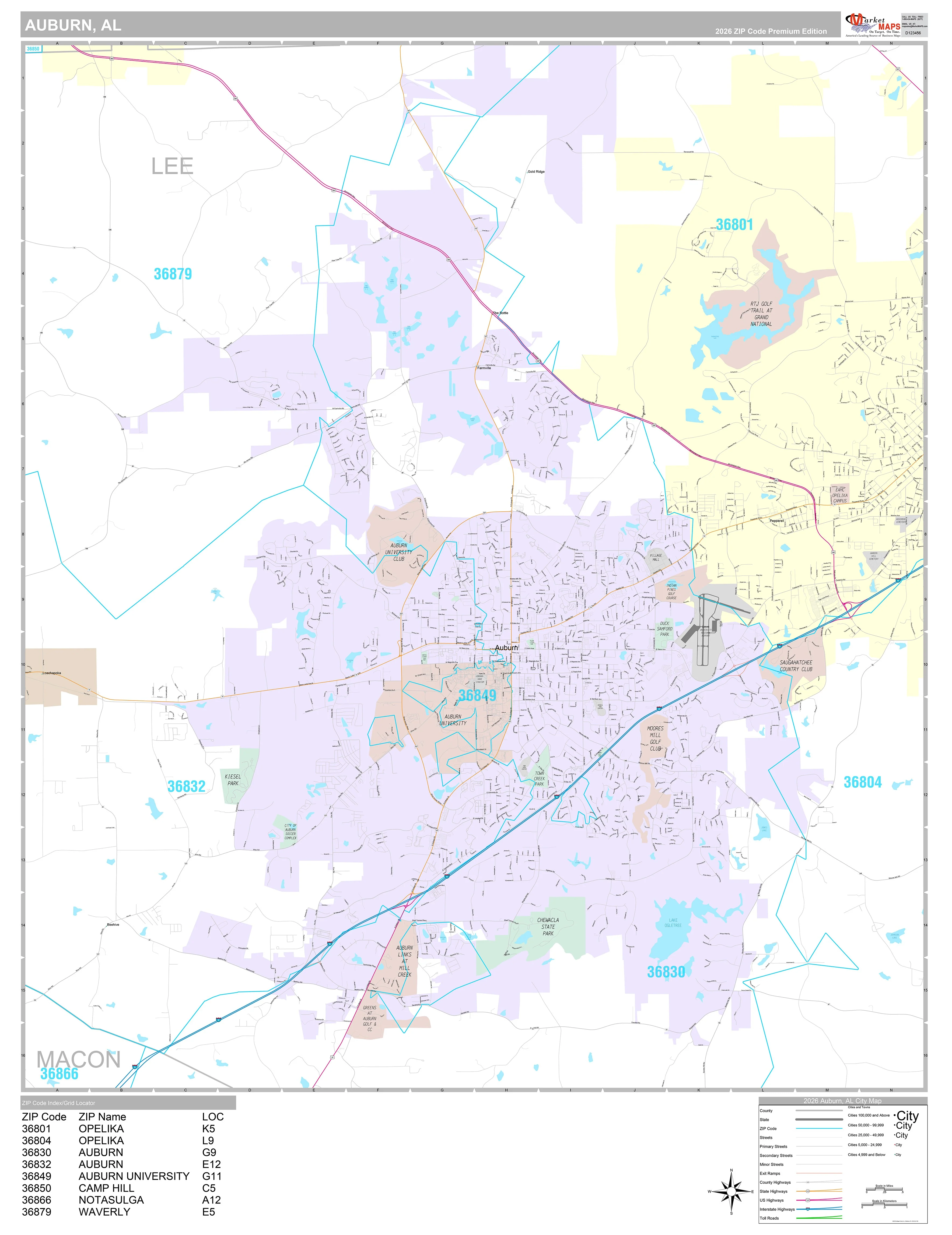
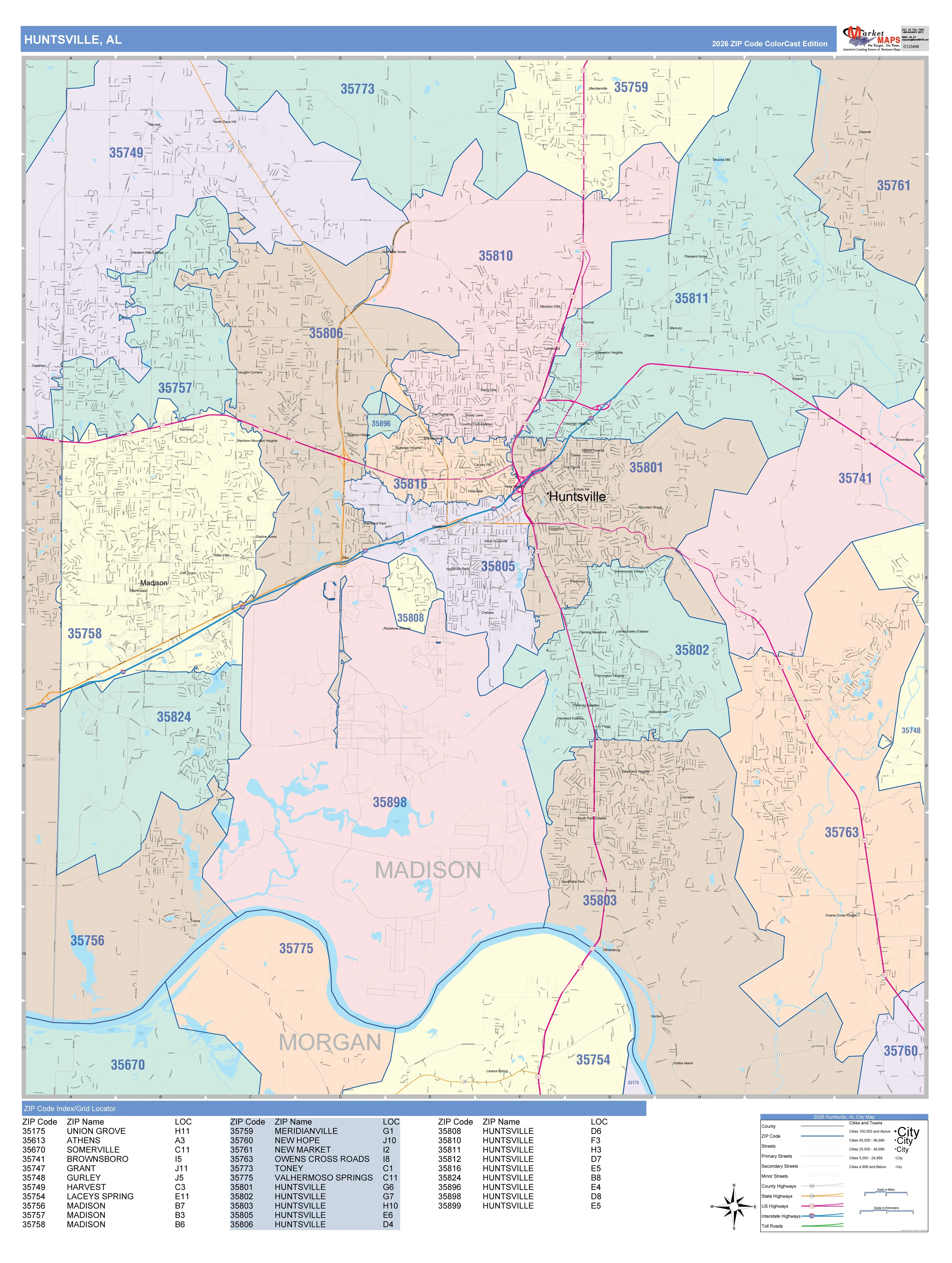
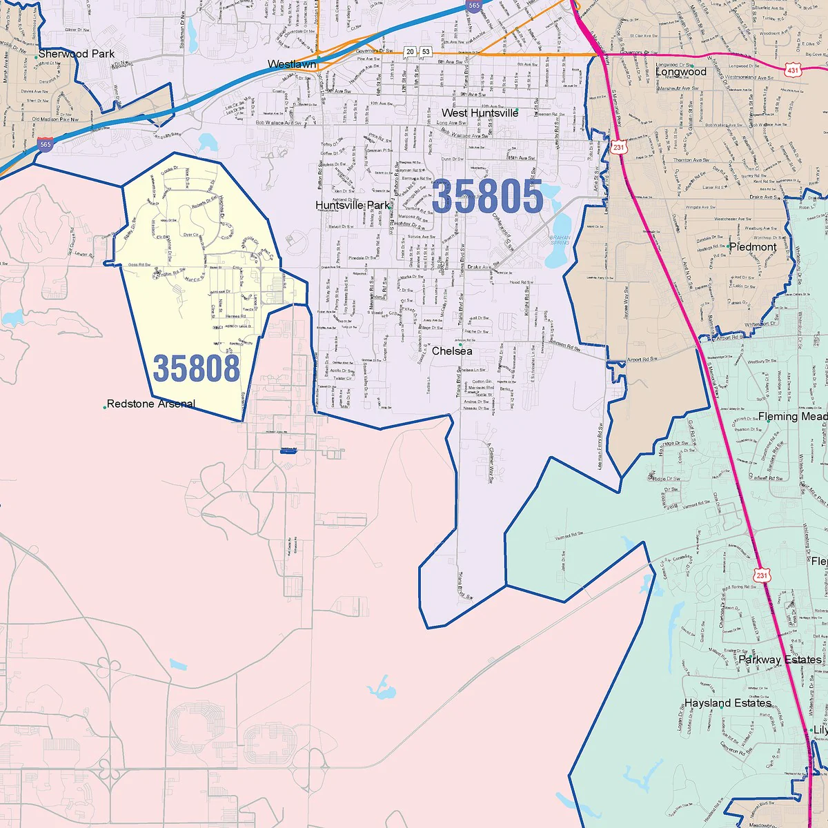
Our Mobile Metro Area wall map shows the area within 20 miles of downtown Mobile, including the communities of Daphne, Prichard, Chickasaw, Saraland, Tillmans Corner, Bayou La Batre, Gulf Shores, Foley, Robertsdale, and Bay Minette, among others. Features shown include cities, towns, counties, highways and major and secondary roads, zip codes, and major points of interest. Note: due to the vast extent of this map, local street names are not shown.
This map comes in a variety of sizes and finishing option. It is shipped rolled in a sturdy cardboard tube.
Product Information
Product Information
Shipping & Returns
Shipping & Returns


Mobile Metro Area Wall Map
Mobile Metro Area Wall Map
Our Mobile Metro Area wall map shows the area within 20 miles of downtown Mobile, including the communities of Daphne, Prichard, Chickasaw, Saraland, Tillmans Corner, Bayou La Batre, Gulf Shores, Foley, Robertsdale, and Bay Minette, among others. Features shown include cities, towns, counties, highways and major and secondary roads, zip codes, and major points of interest. Note: due to the vast extent of this map, local street names are not shown.
This map comes in a variety of sizes and finishing option. It is shipped rolled in a sturdy cardboard tube.
Original: $79.95
-65%$79.95
$27.98Product Information
Product Information
Shipping & Returns
Shipping & Returns
Description
Our Mobile Metro Area wall map shows the area within 20 miles of downtown Mobile, including the communities of Daphne, Prichard, Chickasaw, Saraland, Tillmans Corner, Bayou La Batre, Gulf Shores, Foley, Robertsdale, and Bay Minette, among others. Features shown include cities, towns, counties, highways and major and secondary roads, zip codes, and major points of interest. Note: due to the vast extent of this map, local street names are not shown.
This map comes in a variety of sizes and finishing option. It is shipped rolled in a sturdy cardboard tube.