🚚 Free Worldwide Shipping on All Orders!Shop Now
Mississippi Gulf Coast Area Wall Map
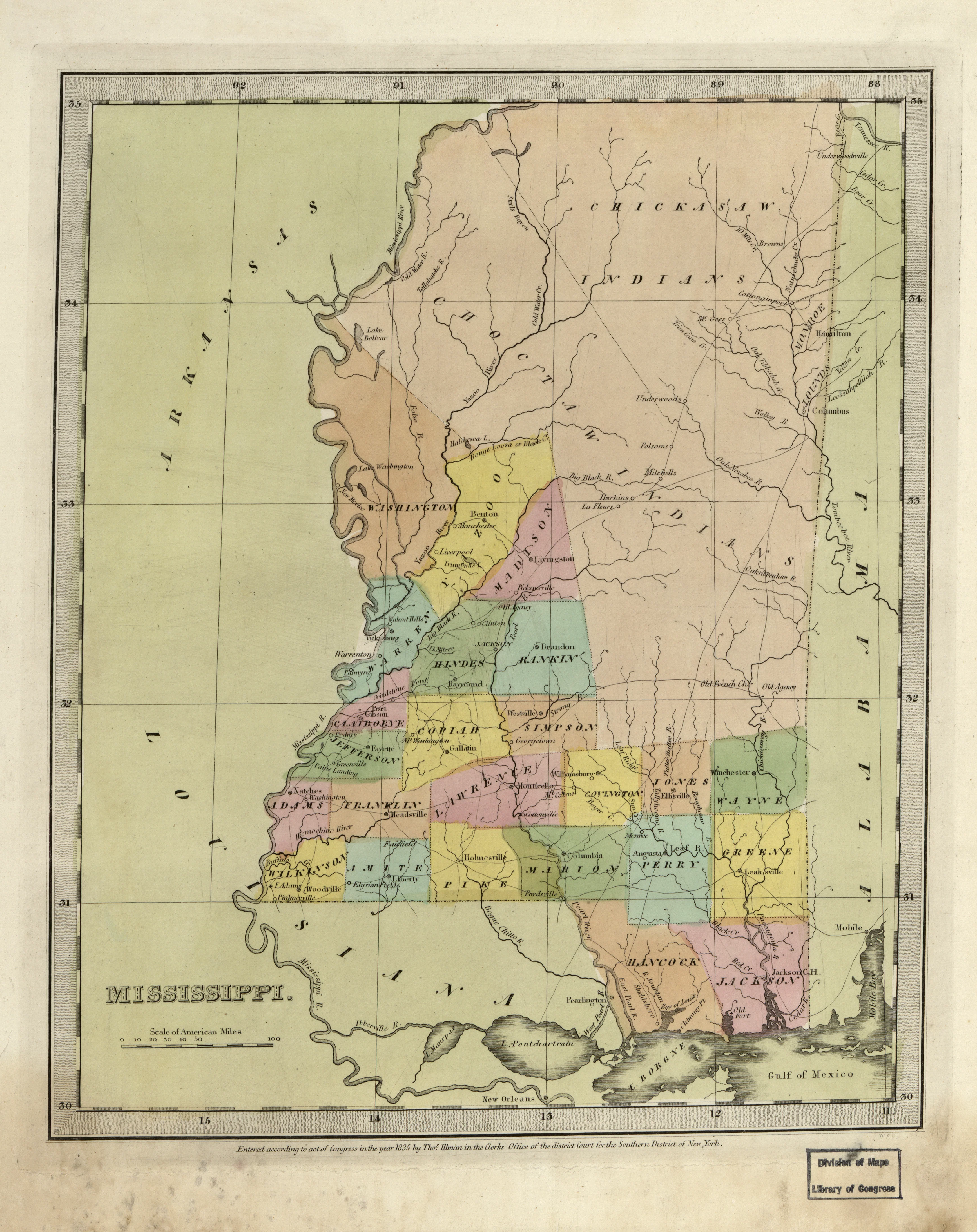
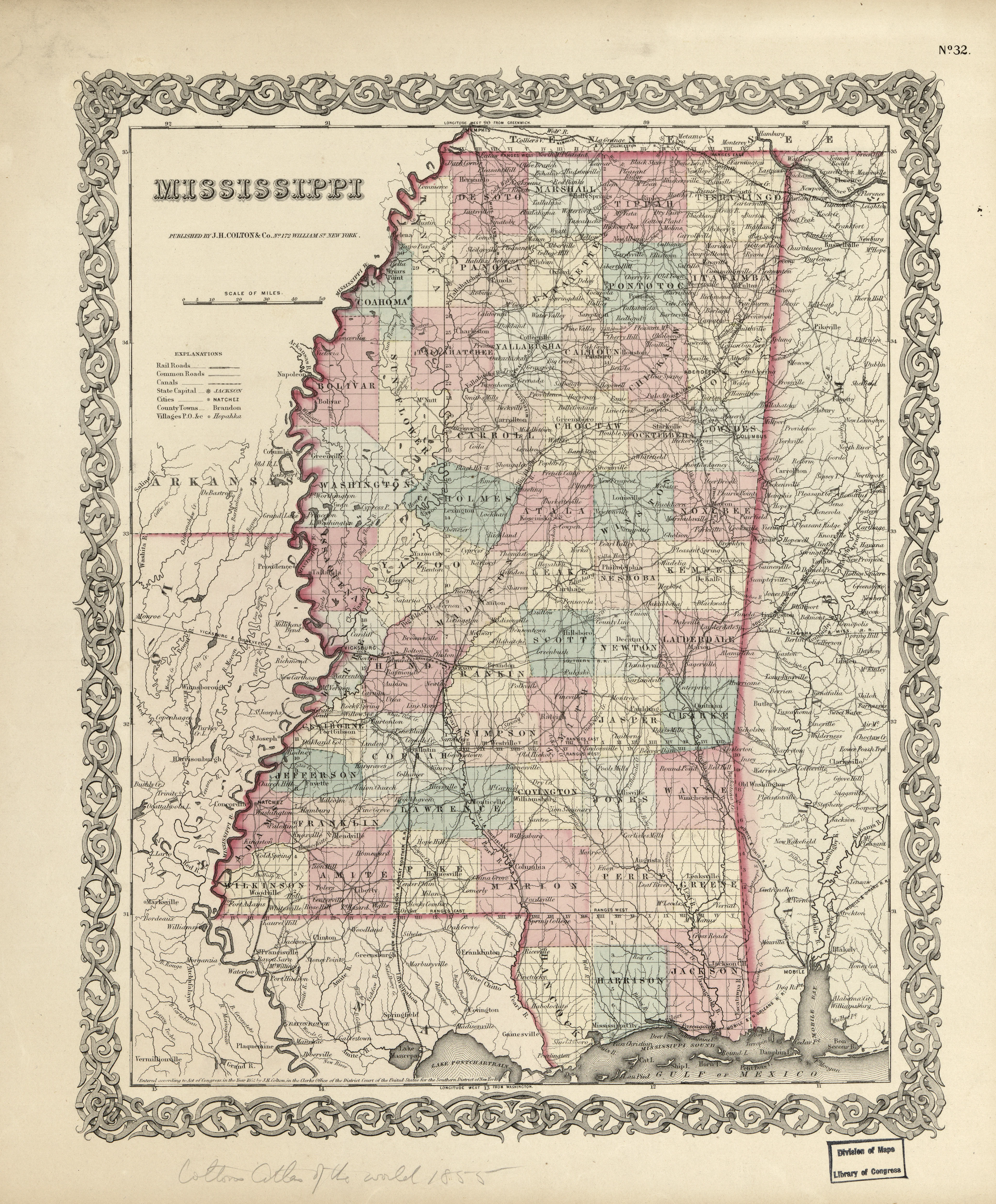
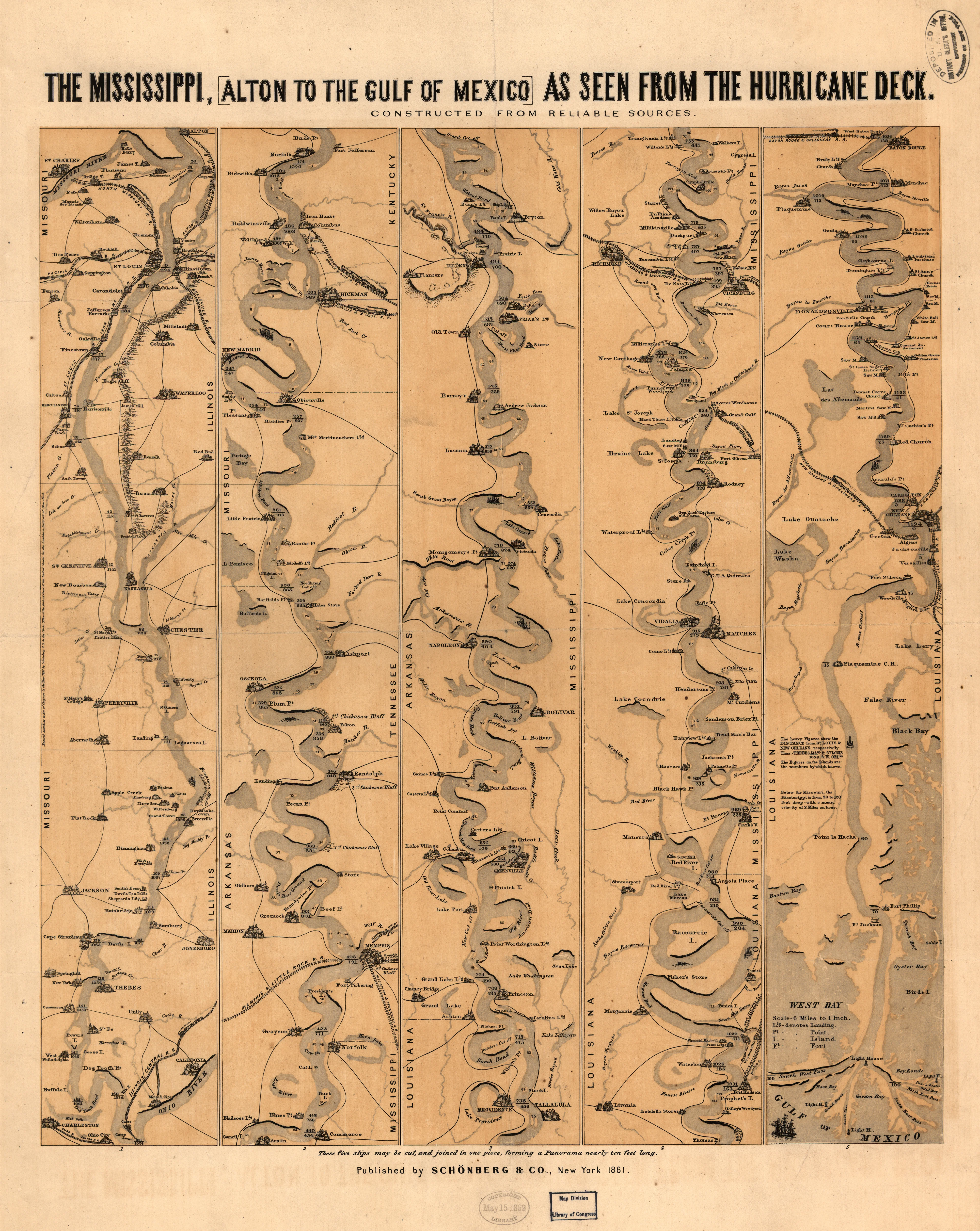
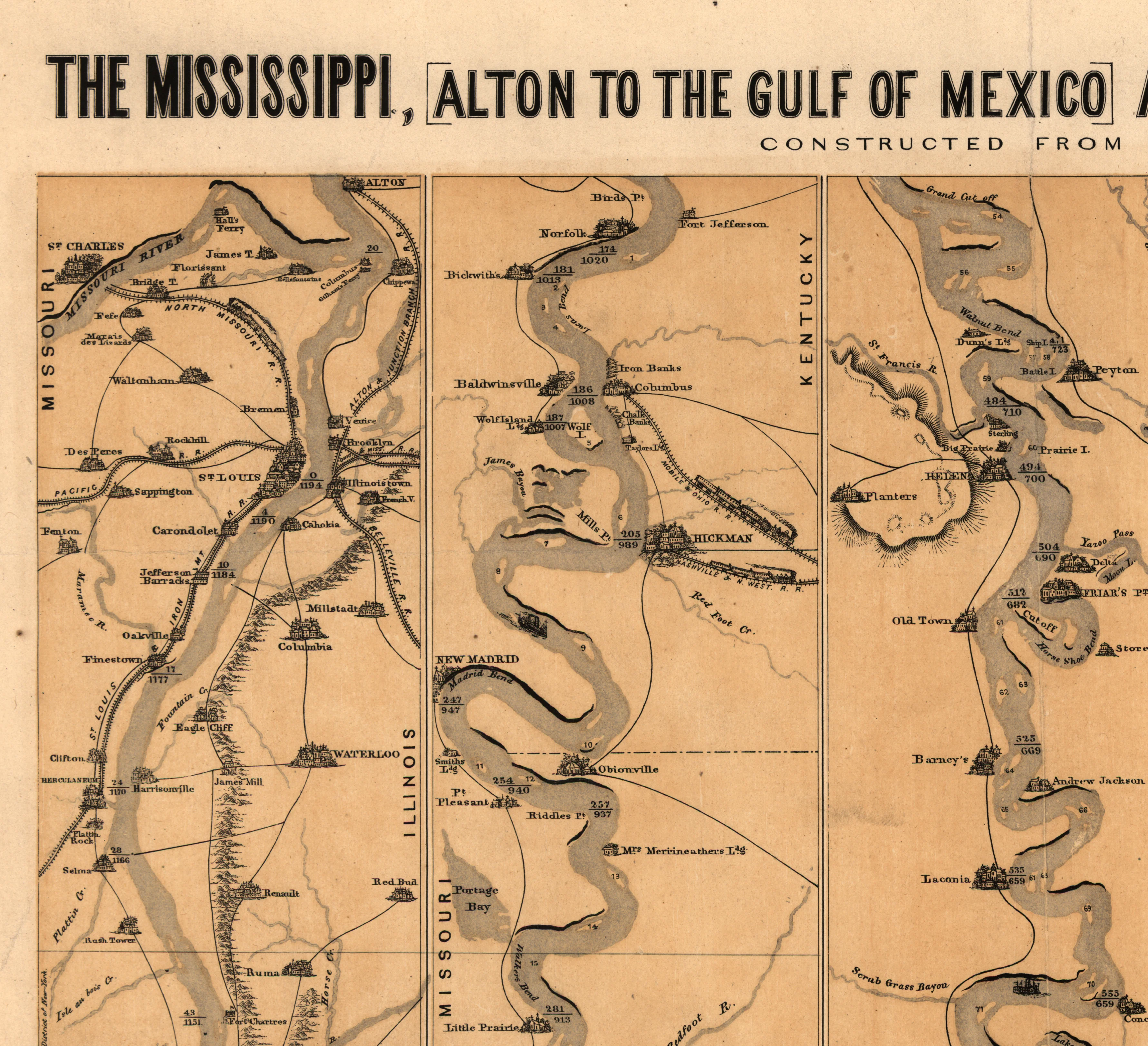
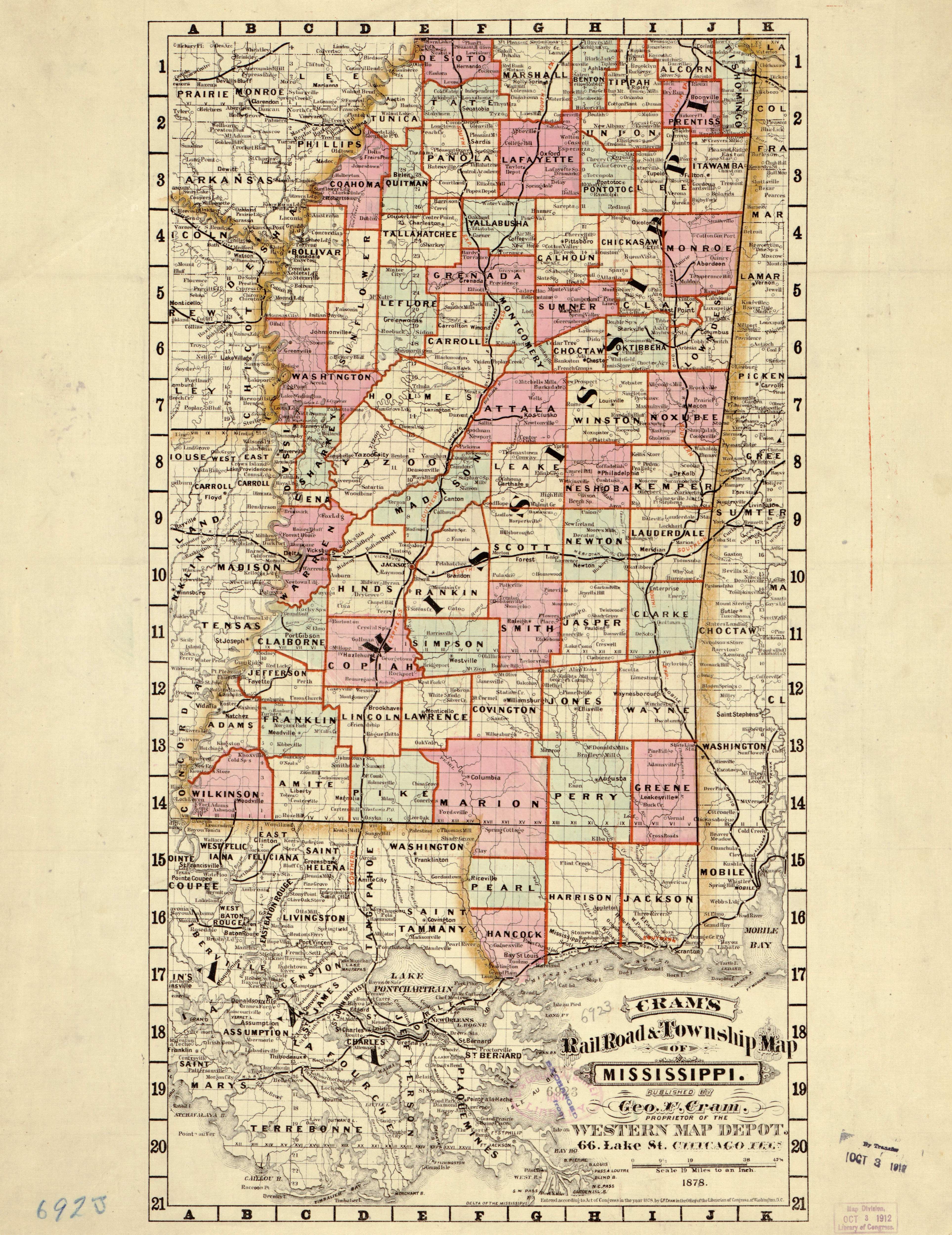
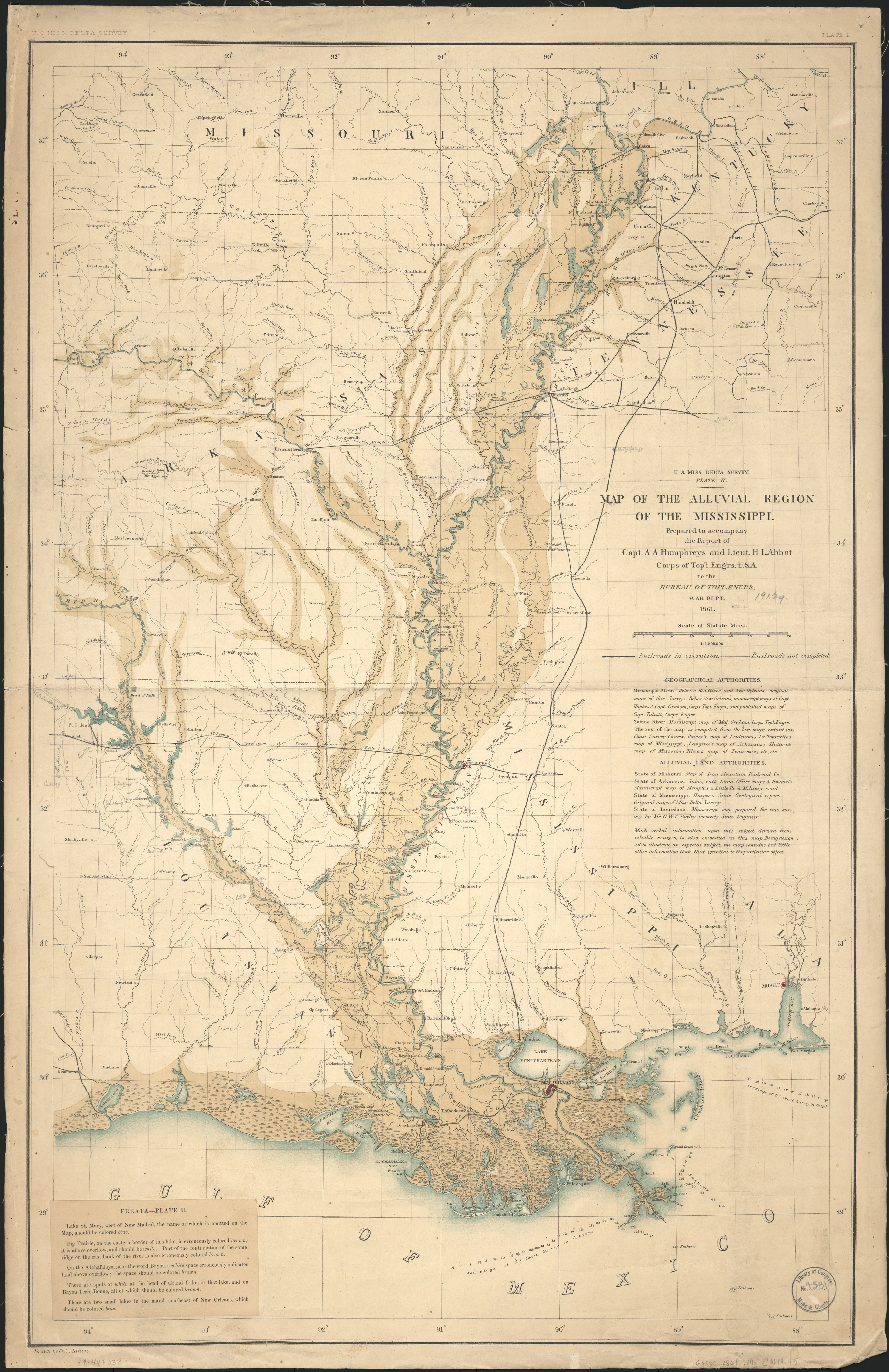
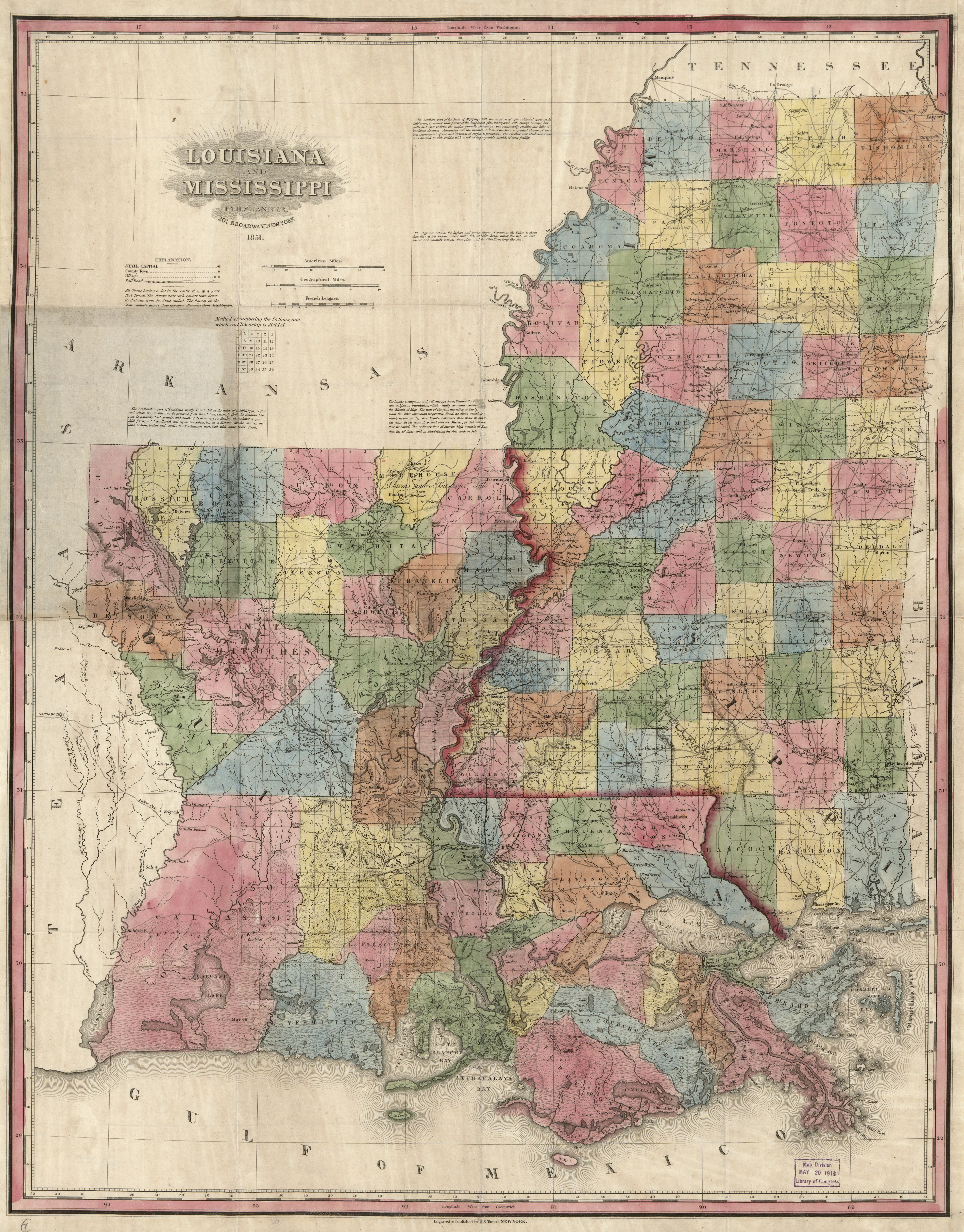
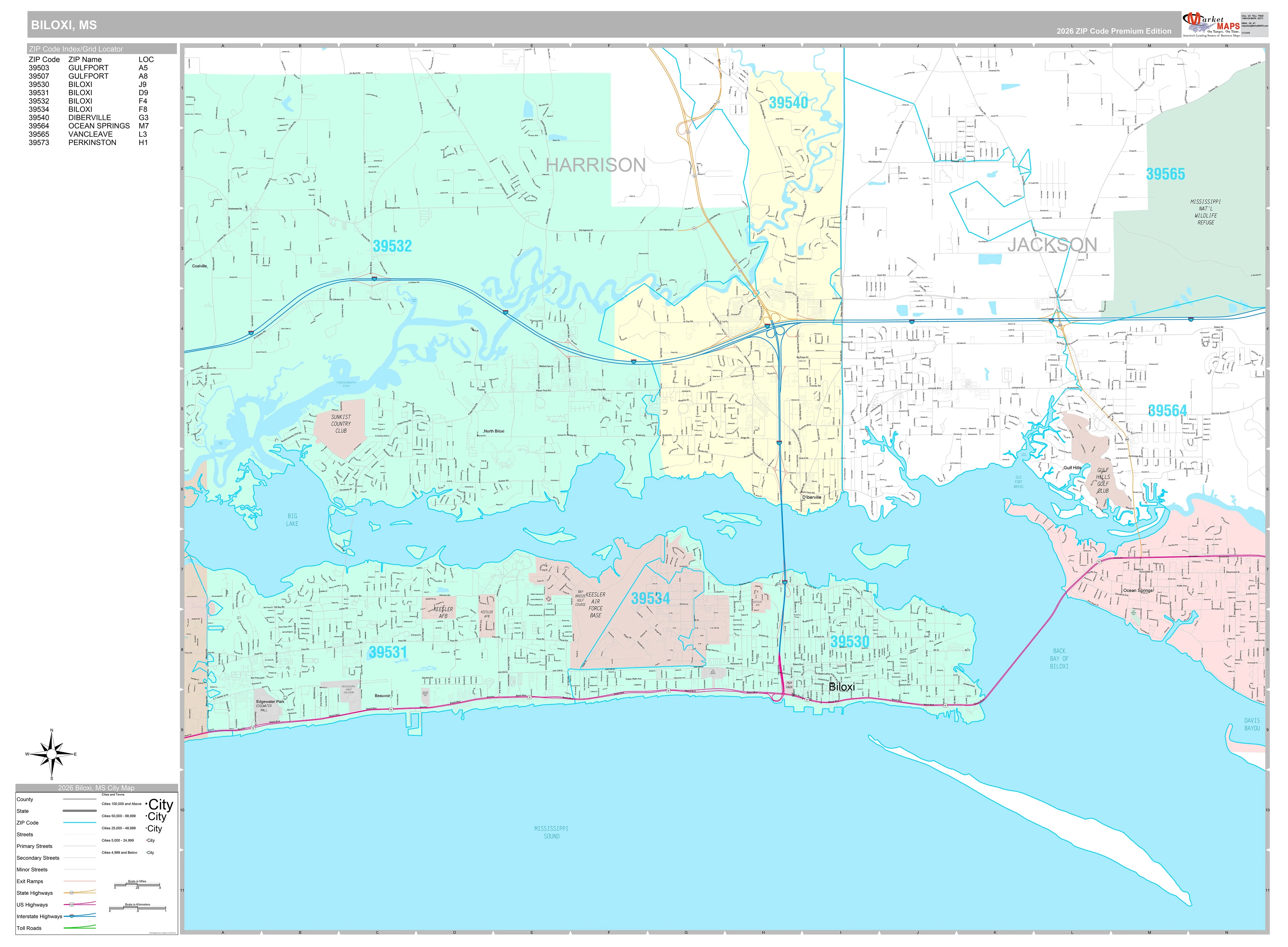
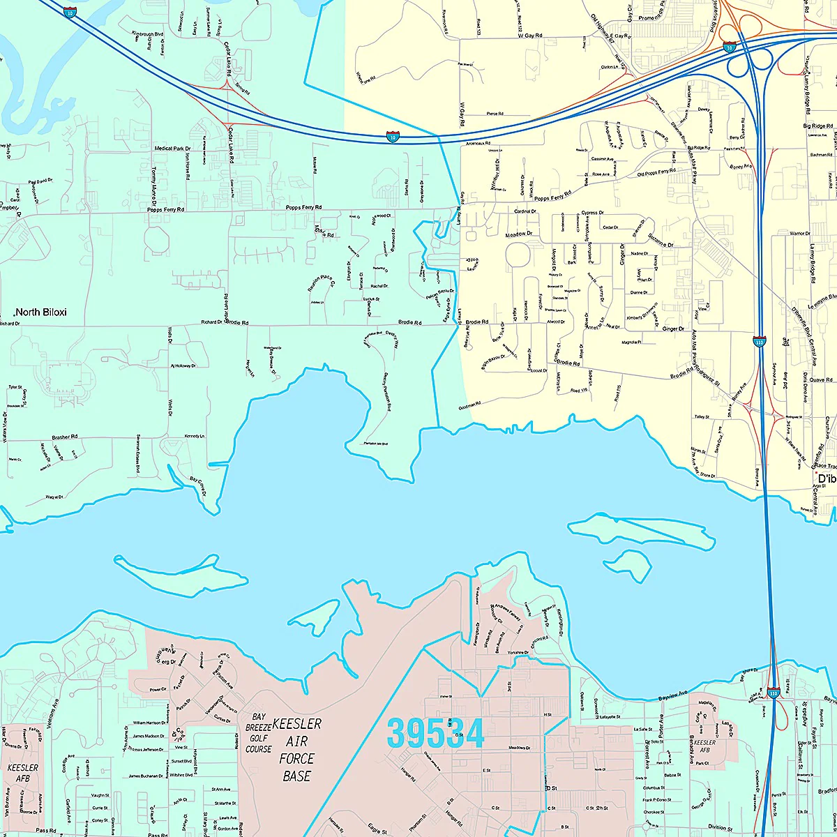
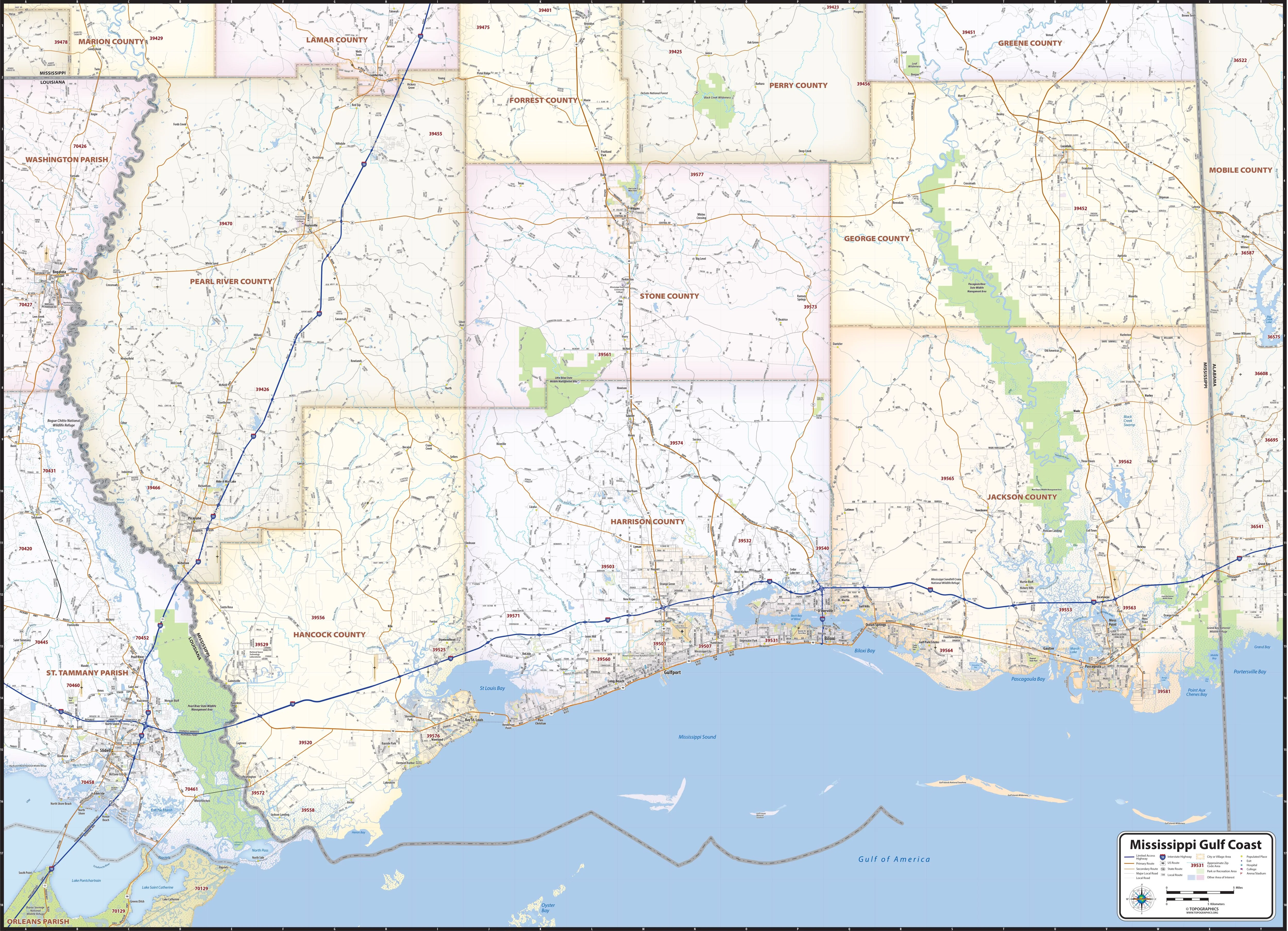
Our Mississippi Gulf Coast Area Map shows a 90 mile stretch along the Gulf of America coast, from Slidell, Louisiana to the Alabama state line. Information shown includes counties, towns, cities, major roads and highways, ZIP codes, and major points of interest.
This map comes in a variety of sizes and finishing options. It is shipped rolled in a sturdy cardboard tube.
Product Information
Product Information
Shipping & Returns
Shipping & Returns


Mississippi Gulf Coast Area Wall Map
Mississippi Gulf Coast Area Wall Map
Our Mississippi Gulf Coast Area Map shows a 90 mile stretch along the Gulf of America coast, from Slidell, Louisiana to the Alabama state line. Information shown includes counties, towns, cities, major roads and highways, ZIP codes, and major points of interest.
This map comes in a variety of sizes and finishing options. It is shipped rolled in a sturdy cardboard tube.
Select Size
Select Material
From $27.98
Original: $79.95
-65%Mississippi Gulf Coast Area Wall Map—
$79.95
$27.98Product Information
Product Information
Shipping & Returns
Shipping & Returns
Description
Our Mississippi Gulf Coast Area Map shows a 90 mile stretch along the Gulf of America coast, from Slidell, Louisiana to the Alabama state line. Information shown includes counties, towns, cities, major roads and highways, ZIP codes, and major points of interest.
This map comes in a variety of sizes and finishing options. It is shipped rolled in a sturdy cardboard tube.