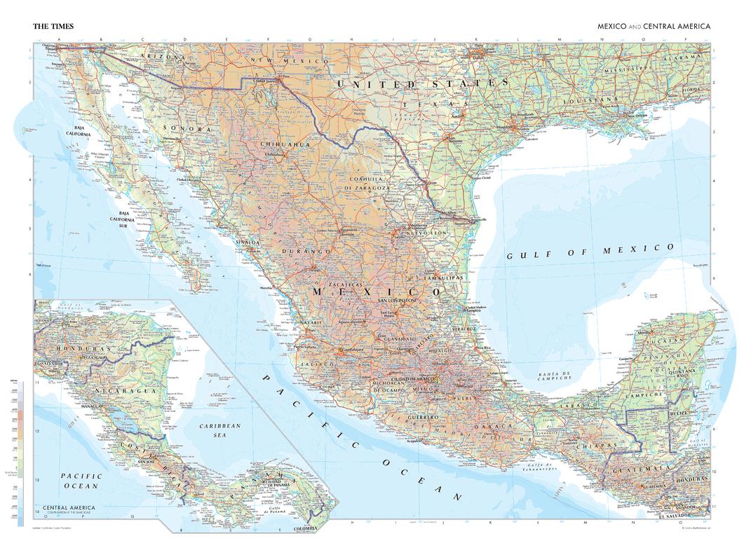
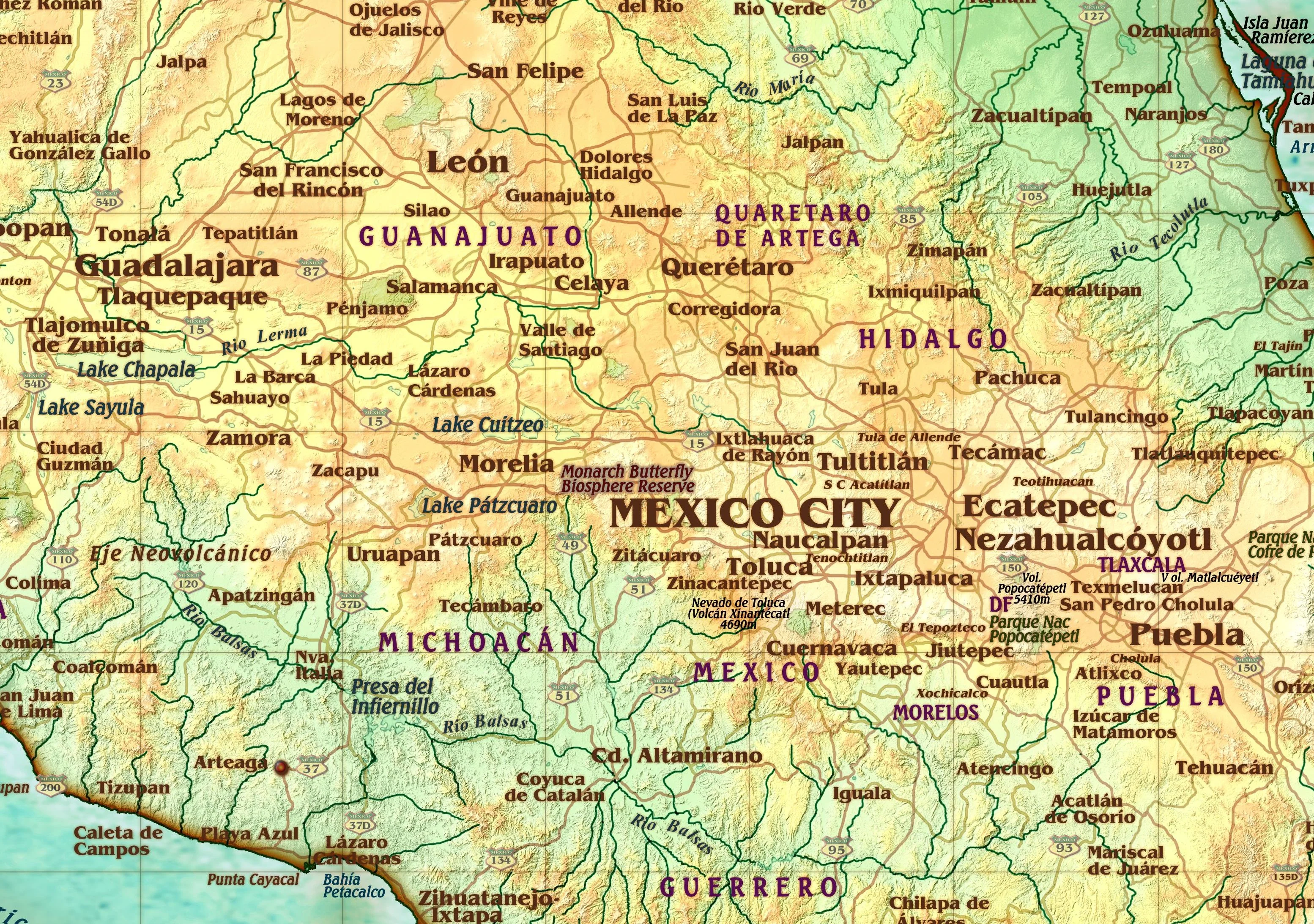
Mexico Political Wall Map
This Mexico Political Map shows the entire country and surrounding regions in great detail. The bright background gives great contrast to the thousands of labels, including City Names, Capitals, State/Federal Highways, and many more. The boundaries of each state/province are accurately shown, with their Urban Areas clearly marked in Yellow, which adds an extra layer of interesting information to the map. With multiple sizes available, this is the perfect reference map for home, office, or school use.
This map comes rolled and ships in a sturdy cardboard tube.
Product Information
Product Information
Shipping & Returns
Shipping & Returns

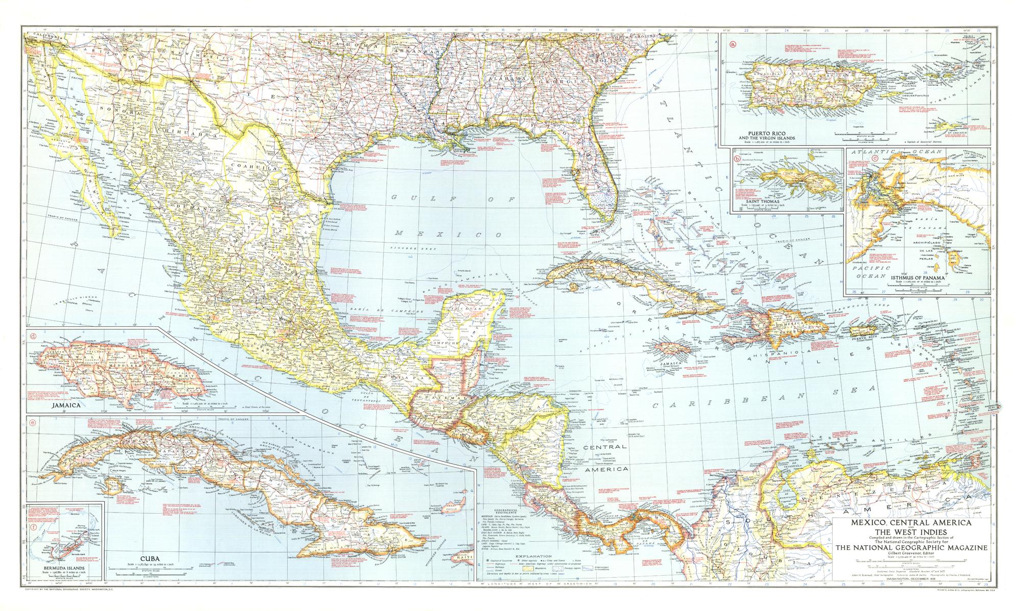
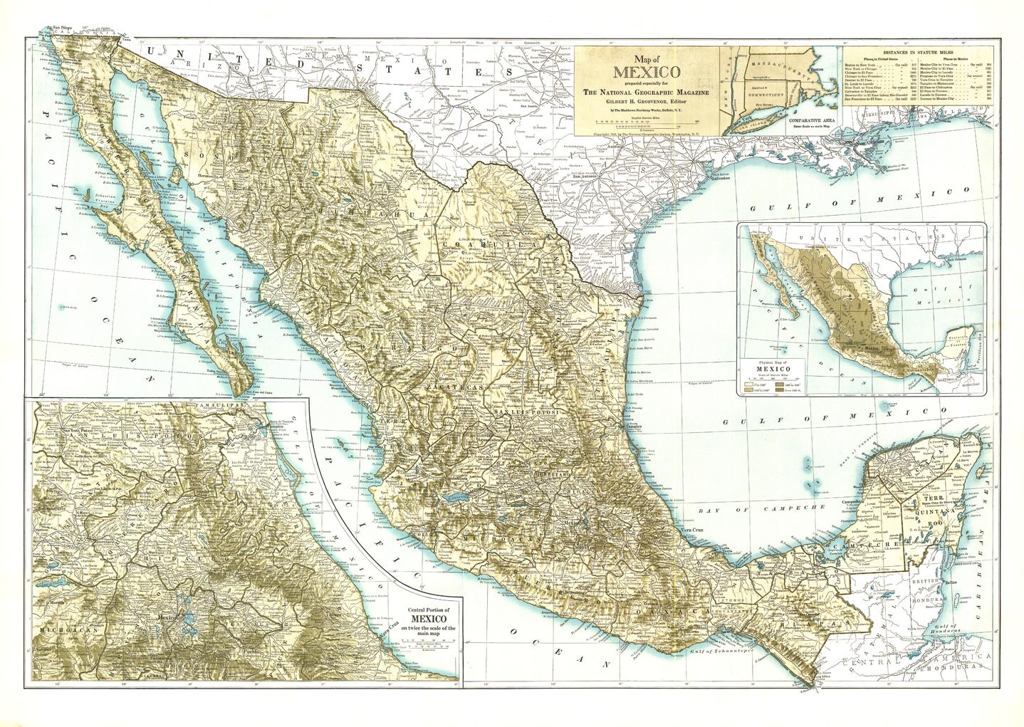
Mexico Political Wall Map
Mexico Political Wall Map
This Mexico Political Map shows the entire country and surrounding regions in great detail. The bright background gives great contrast to the thousands of labels, including City Names, Capitals, State/Federal Highways, and many more. The boundaries of each state/province are accurately shown, with their Urban Areas clearly marked in Yellow, which adds an extra layer of interesting information to the map. With multiple sizes available, this is the perfect reference map for home, office, or school use.
This map comes rolled and ships in a sturdy cardboard tube.
Original: $69.95
-65%$69.95
$24.48Product Information
Product Information
Shipping & Returns
Shipping & Returns
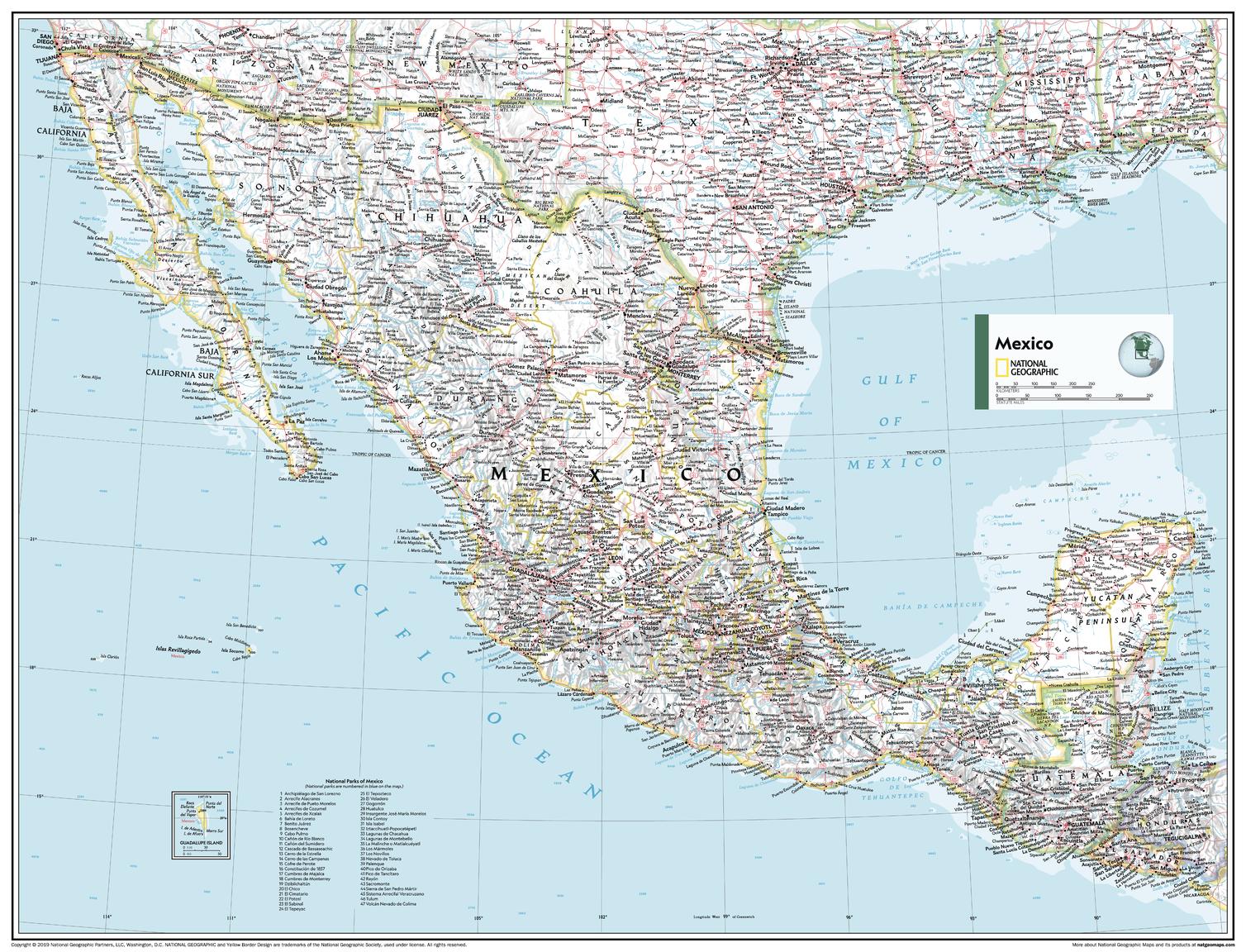
Description
This Mexico Political Map shows the entire country and surrounding regions in great detail. The bright background gives great contrast to the thousands of labels, including City Names, Capitals, State/Federal Highways, and many more. The boundaries of each state/province are accurately shown, with their Urban Areas clearly marked in Yellow, which adds an extra layer of interesting information to the map. With multiple sizes available, this is the perfect reference map for home, office, or school use.
This map comes rolled and ships in a sturdy cardboard tube.