Indianapolis Metro Area Wall Map
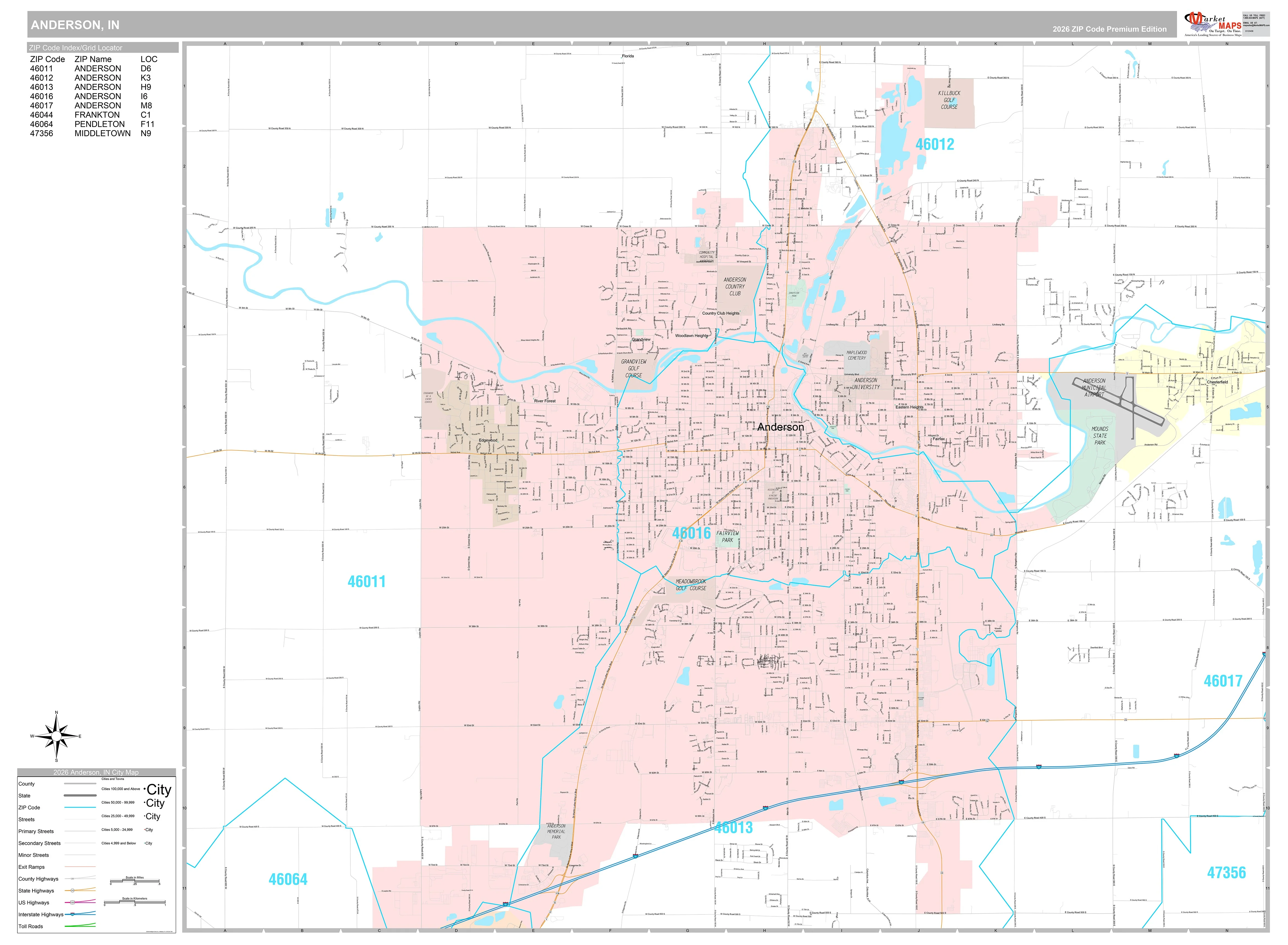
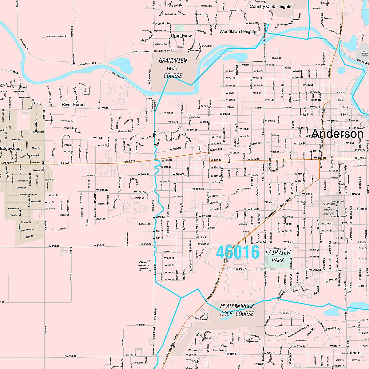
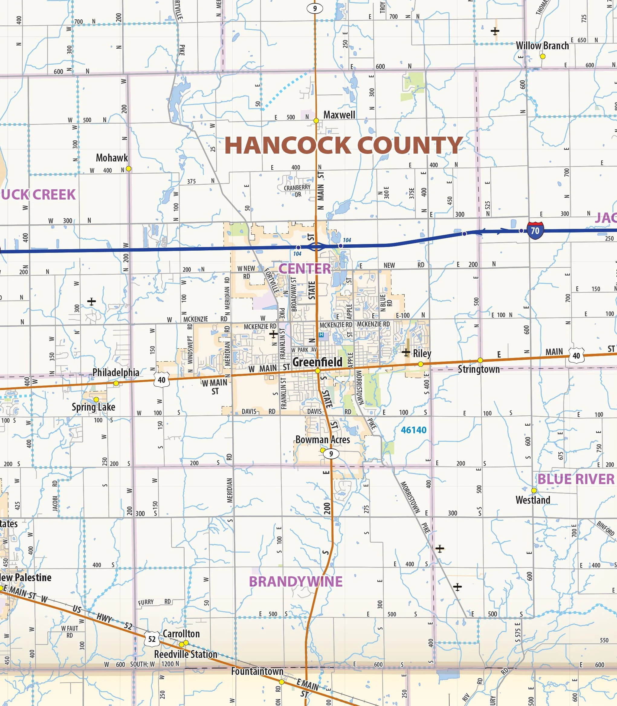
Our Indianapolis Metro Area wall map shows the area within 25 miles of downtown Indianapolis, Indiana, including Marion County and most of the counties of Boone, Hamilton, Madison, Hancock, Shelby, Johnson, Morgan, and Hendricks. The map shows towns, counties, major and secondary highways and routes, as well as major points of interest. Note: due to the vast extent of this map, local street names are not shown.
This map comes in a variety of sizes and finishing options. It is shipped rolled in a sturdy cardboard tube.
Product Information
Product Information
Shipping & Returns
Shipping & Returns


Indianapolis Metro Area Wall Map
Indianapolis Metro Area Wall Map
Our Indianapolis Metro Area wall map shows the area within 25 miles of downtown Indianapolis, Indiana, including Marion County and most of the counties of Boone, Hamilton, Madison, Hancock, Shelby, Johnson, Morgan, and Hendricks. The map shows towns, counties, major and secondary highways and routes, as well as major points of interest. Note: due to the vast extent of this map, local street names are not shown.
This map comes in a variety of sizes and finishing options. It is shipped rolled in a sturdy cardboard tube.
Original: $79.95
-65%$79.95
$27.98Product Information
Product Information
Shipping & Returns
Shipping & Returns
Description
Our Indianapolis Metro Area wall map shows the area within 25 miles of downtown Indianapolis, Indiana, including Marion County and most of the counties of Boone, Hamilton, Madison, Hancock, Shelby, Johnson, Morgan, and Hendricks. The map shows towns, counties, major and secondary highways and routes, as well as major points of interest. Note: due to the vast extent of this map, local street names are not shown.
This map comes in a variety of sizes and finishing options. It is shipped rolled in a sturdy cardboard tube.