🚚 Free Worldwide Shipping on All Orders!Shop Now
Beaumont, Port Arthur and Lake Charles Area Wall Map
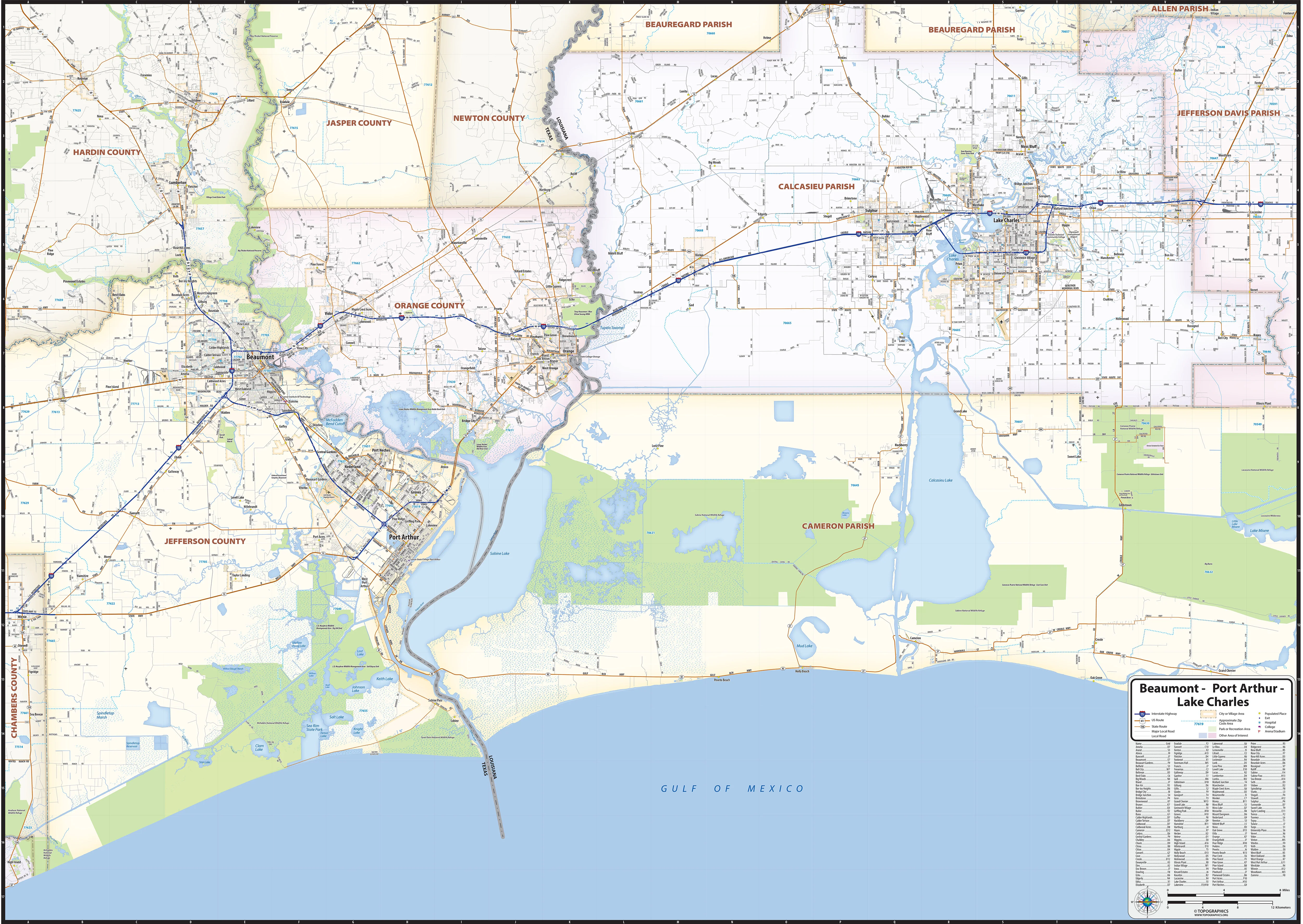
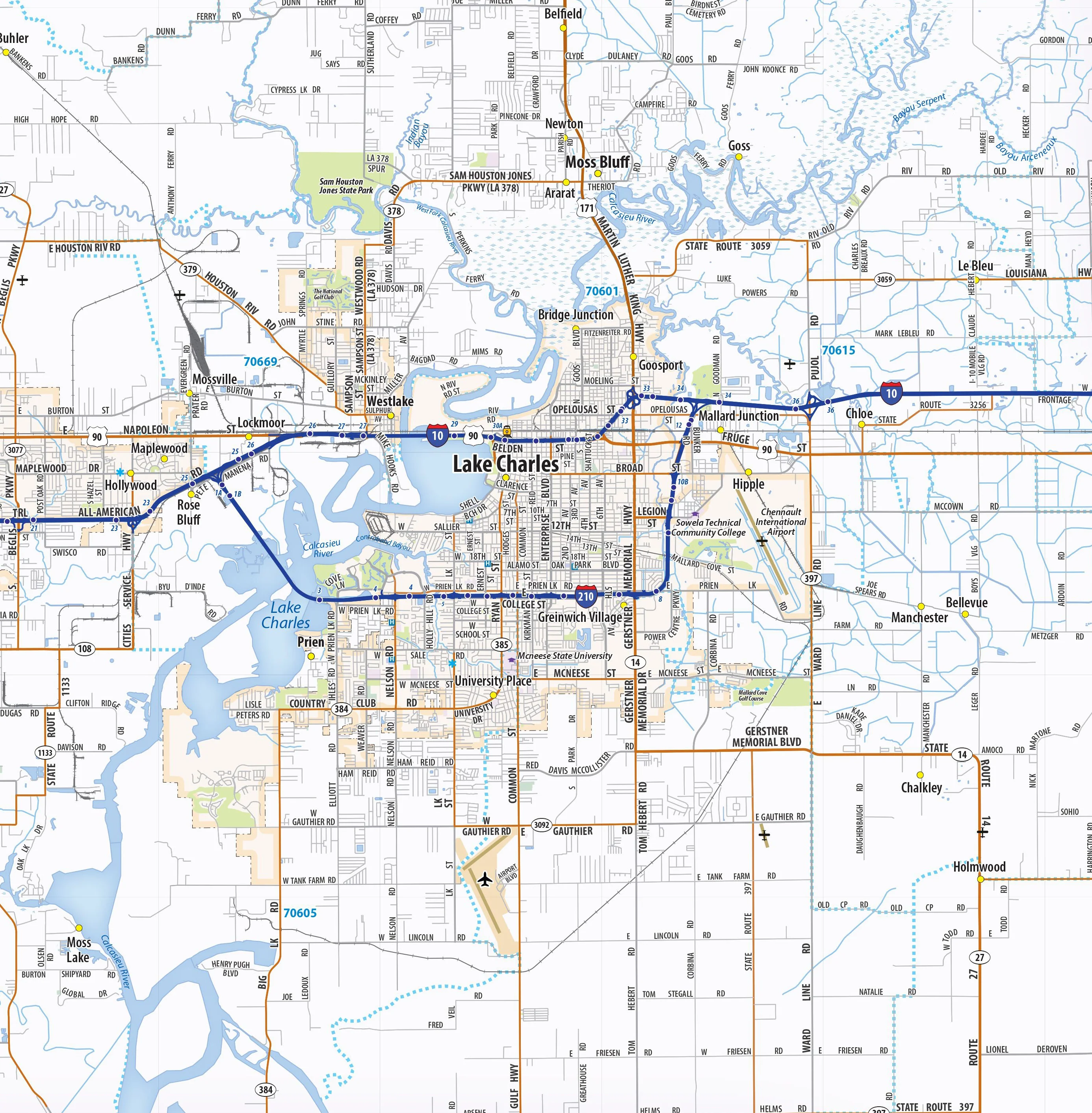
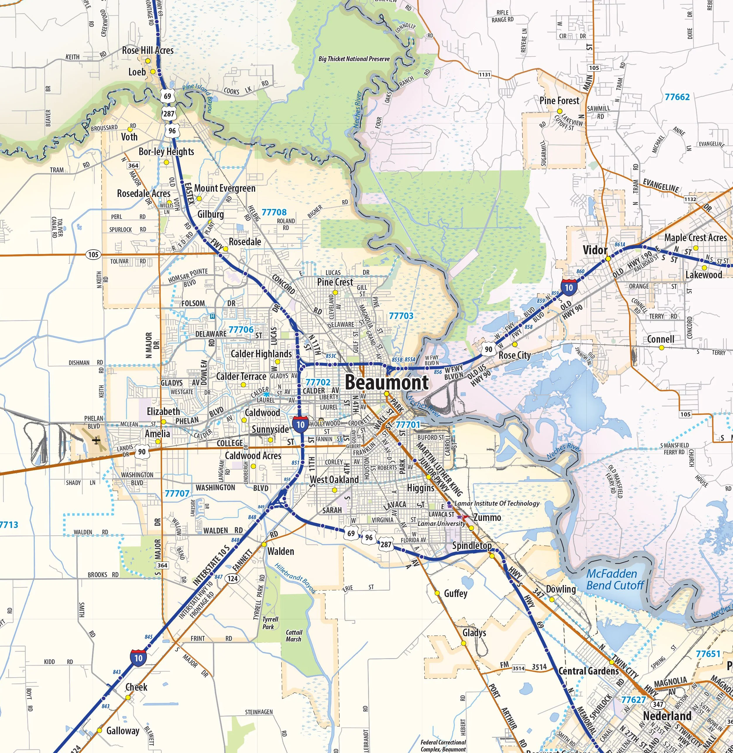
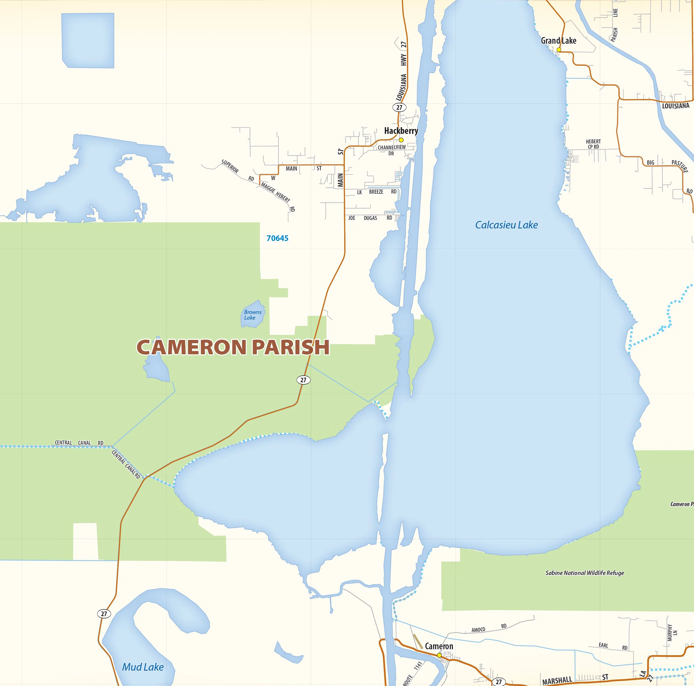
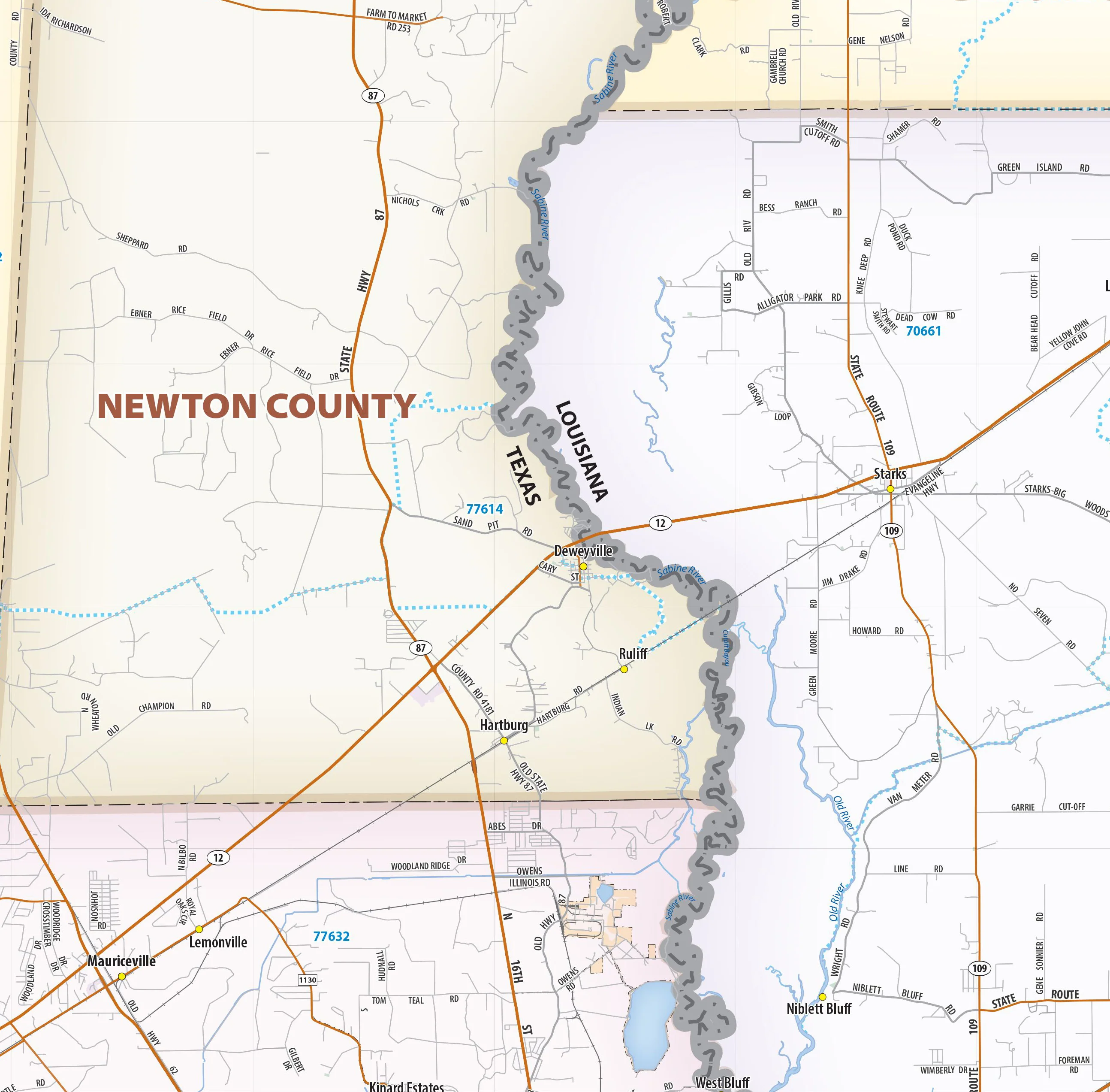
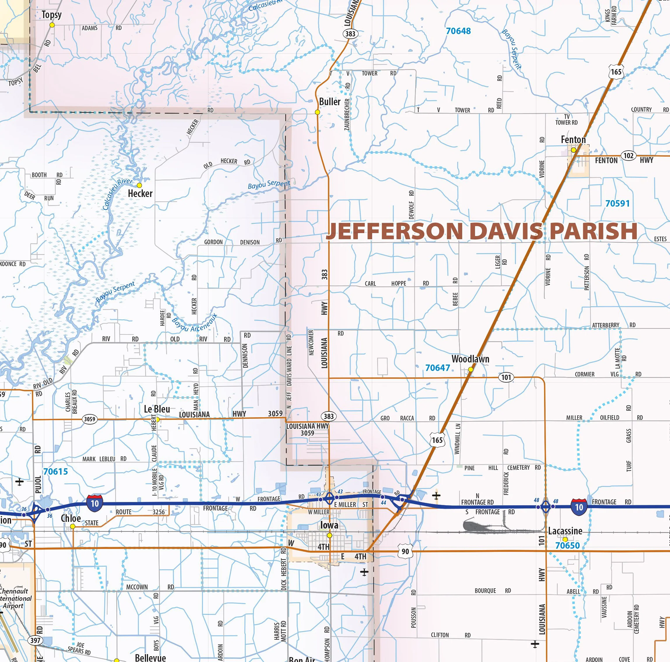
Our Beaumont - Port Arthur - Lake Charles Area wall map shows a 90 mile wide by 50 mile high area of southeast Texas and western Louisiana. The map shows towns, counties, major and secondary highways and routes, as well as major points of interest. Note: due to the vast extent of this map, local street names are not shown.
This map comes in a variety of sizes and finishing options. It is shipped rolled in a sturdy cardboard tube.
Product Information
Product Information
Shipping & Returns
Shipping & Returns
Beaumont, Port Arthur and Lake Charles Area Wall Map
Beaumont, Port Arthur and Lake Charles Area Wall Map
Our Beaumont - Port Arthur - Lake Charles Area wall map shows a 90 mile wide by 50 mile high area of southeast Texas and western Louisiana. The map shows towns, counties, major and secondary highways and routes, as well as major points of interest. Note: due to the vast extent of this map, local street names are not shown.
This map comes in a variety of sizes and finishing options. It is shipped rolled in a sturdy cardboard tube.
Select Size
Select Material
From $27.98
Original: $79.95
-65%Beaumont, Port Arthur and Lake Charles Area Wall Map—
$79.95
$27.98Product Information
Product Information
Shipping & Returns
Shipping & Returns
Description
Our Beaumont - Port Arthur - Lake Charles Area wall map shows a 90 mile wide by 50 mile high area of southeast Texas and western Louisiana. The map shows towns, counties, major and secondary highways and routes, as well as major points of interest. Note: due to the vast extent of this map, local street names are not shown.
This map comes in a variety of sizes and finishing options. It is shipped rolled in a sturdy cardboard tube.