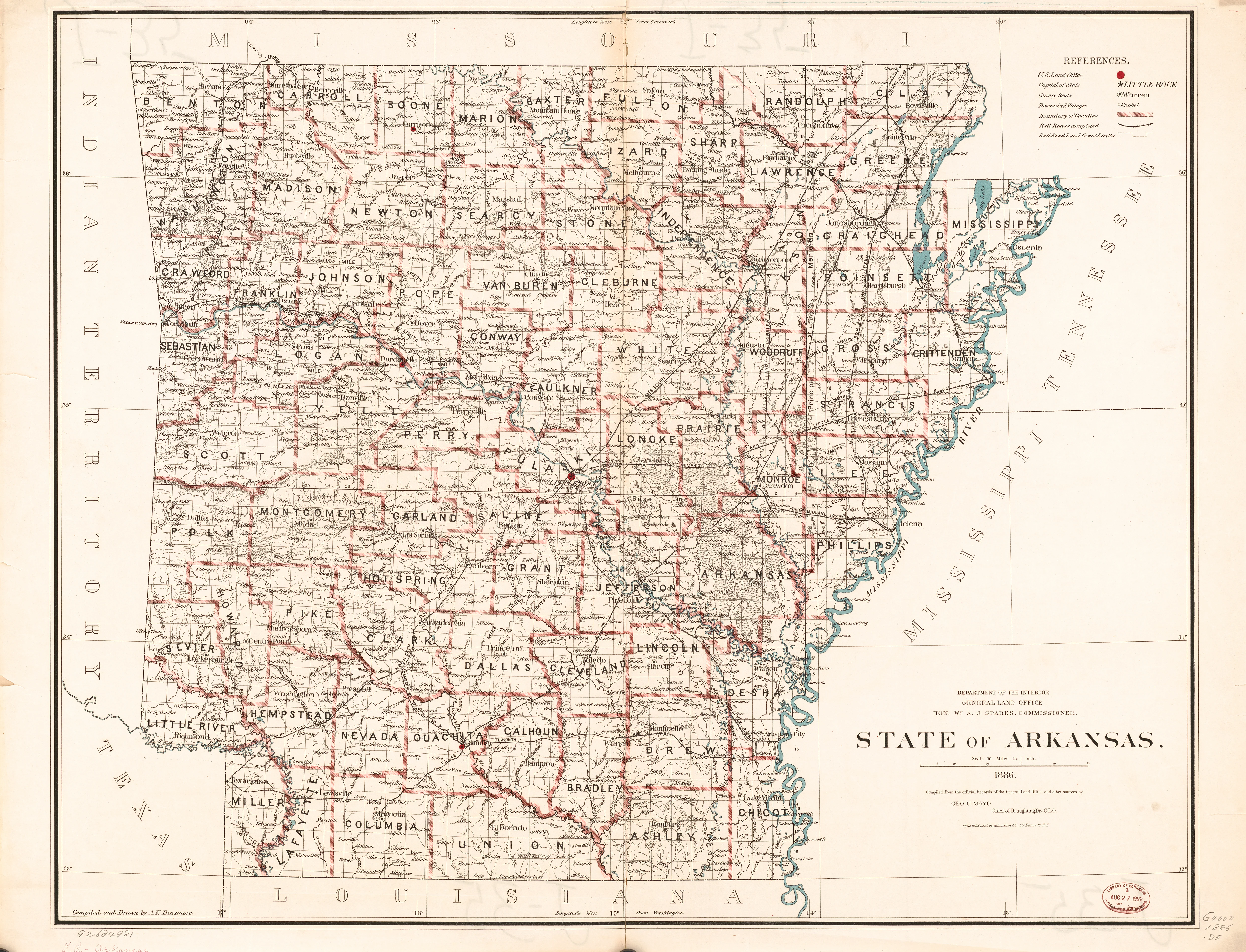
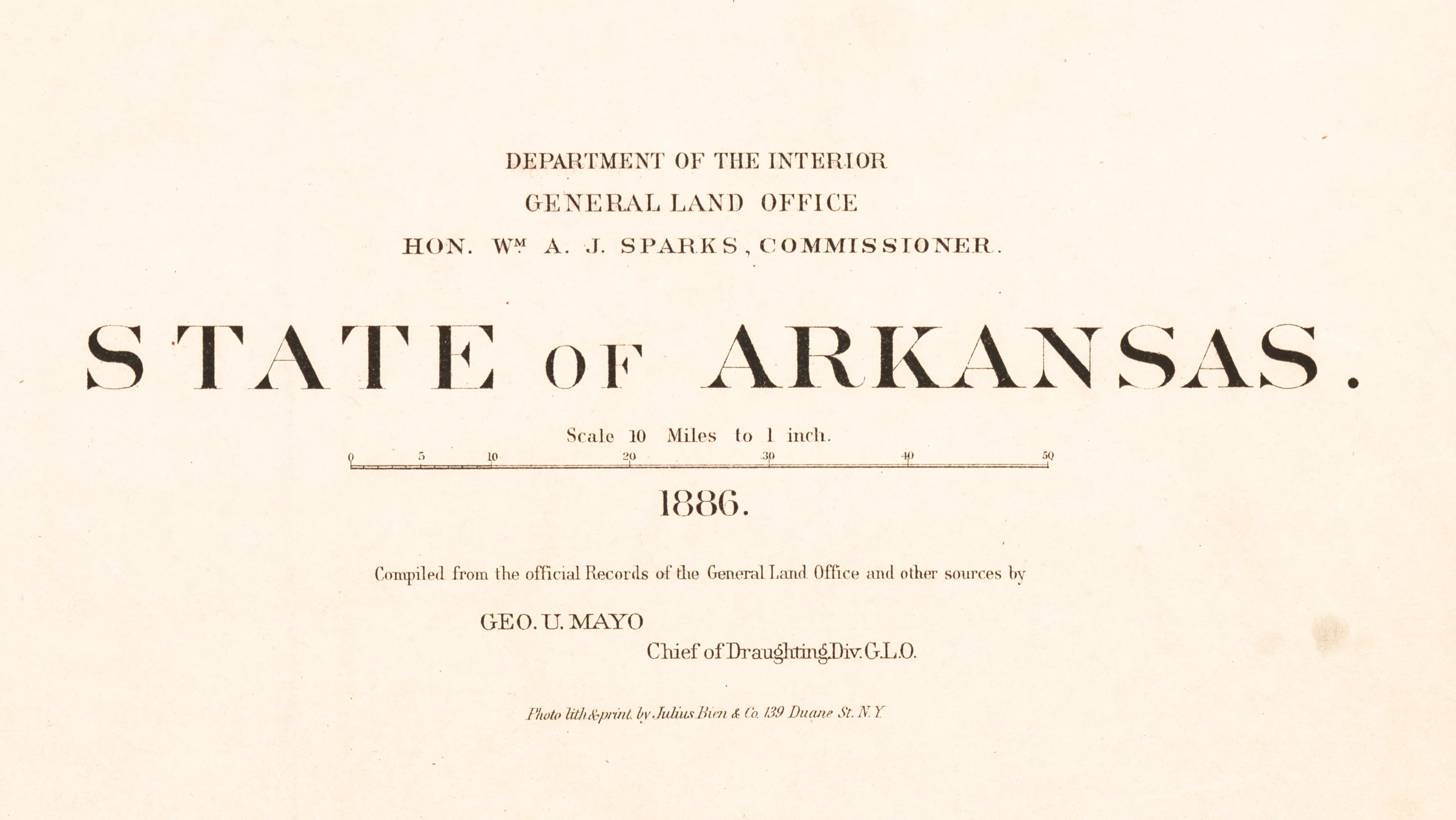
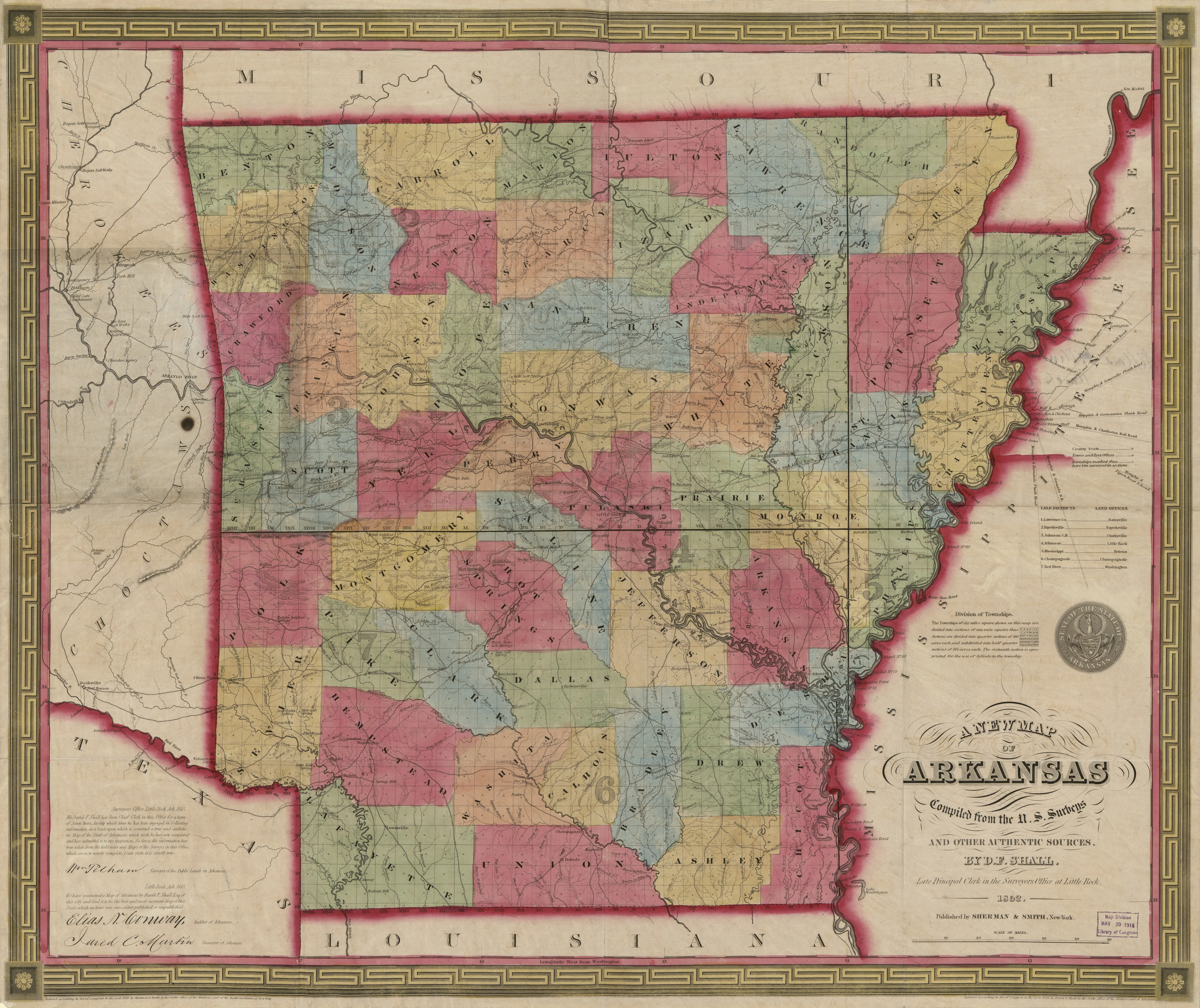
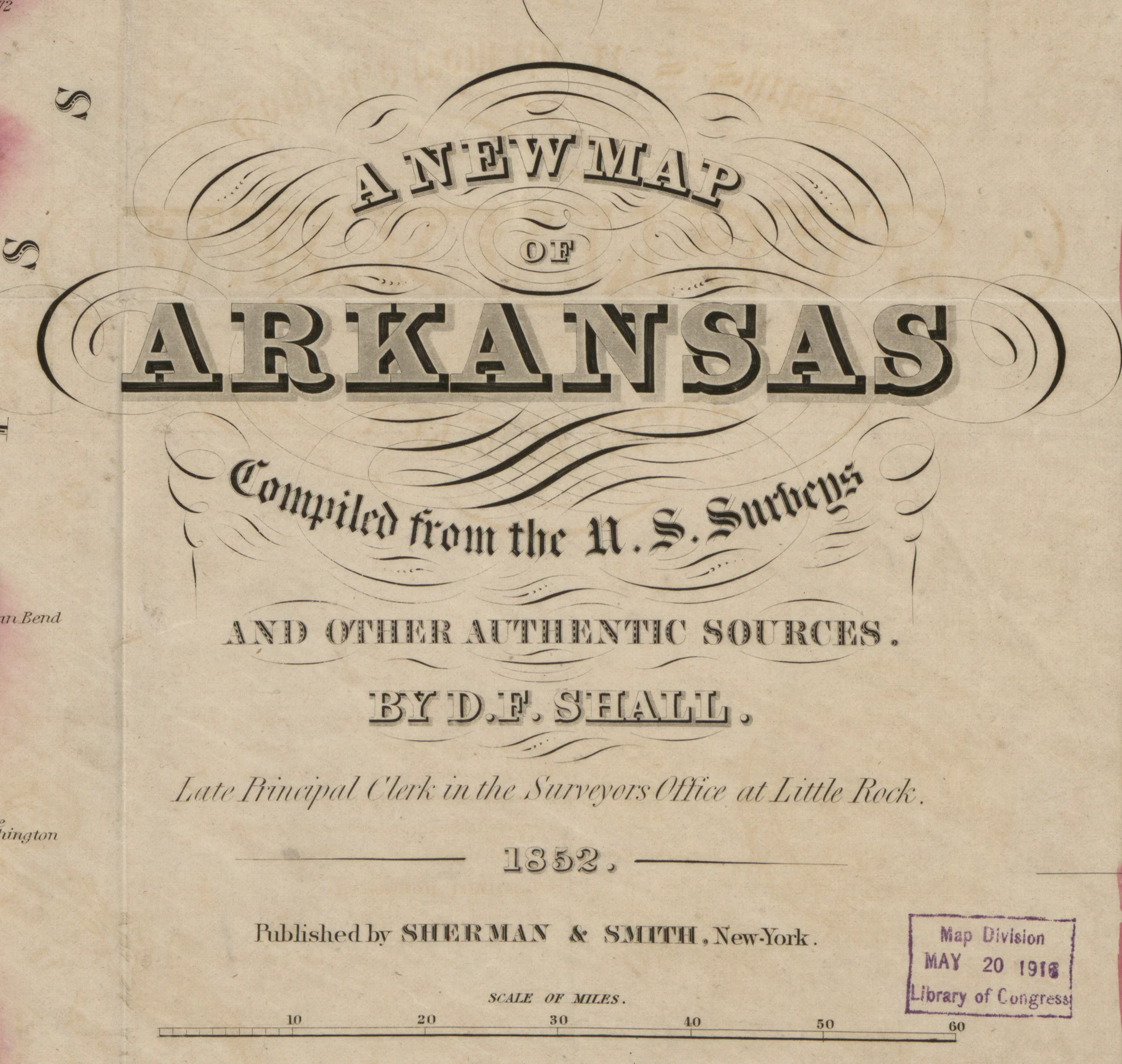
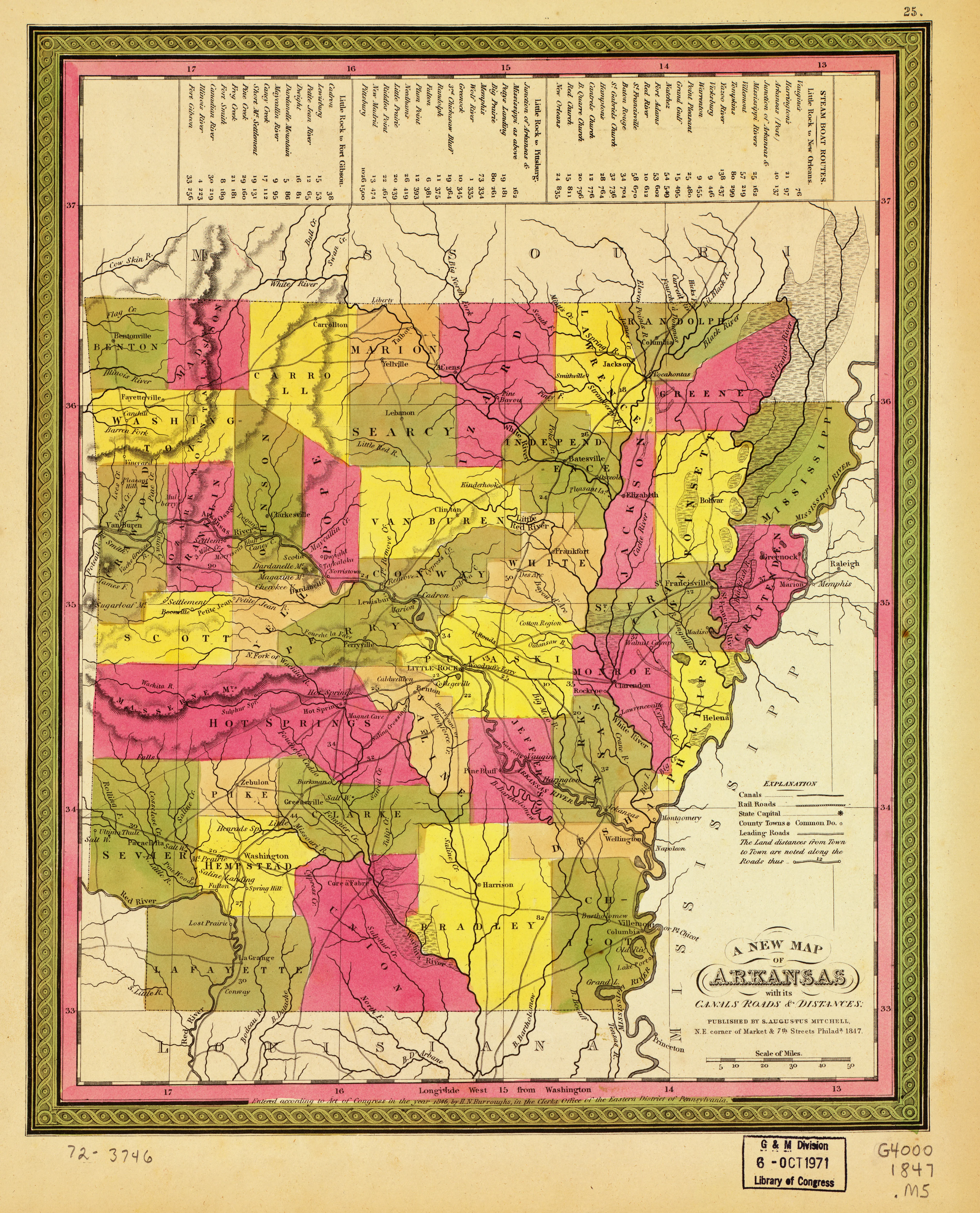
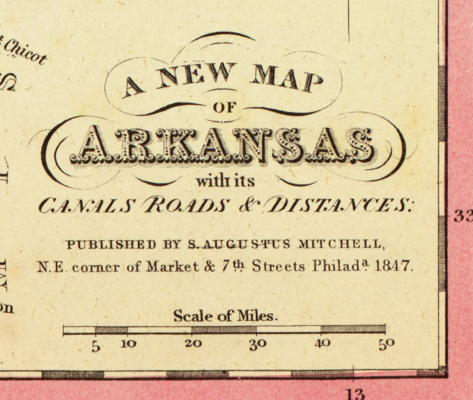
A New Map of Arkansas - Canals, Roads, and Distances, 1847
This beautiful hand-colored antique map reproduction is printed on heavy acid-free stock with fade proof inks. It is excellent for framing. The map shows relief using hachures and includes major canals, roads, and steamboat routes.
Copyright Mitchell S. Augustus, 1847
Size: 12" × 15"
Product Information
Product Information
Shipping & Returns
Shipping & Returns


A New Map of Arkansas - Canals, Roads, and Distances, 1847
A New Map of Arkansas - Canals, Roads, and Distances, 1847
This beautiful hand-colored antique map reproduction is printed on heavy acid-free stock with fade proof inks. It is excellent for framing. The map shows relief using hachures and includes major canals, roads, and steamboat routes.
Copyright Mitchell S. Augustus, 1847
Size: 12" × 15"
Original: $39.95
-65%$39.95
$13.98Product Information
Product Information
Shipping & Returns
Shipping & Returns
Description
This beautiful hand-colored antique map reproduction is printed on heavy acid-free stock with fade proof inks. It is excellent for framing. The map shows relief using hachures and includes major canals, roads, and steamboat routes.
Copyright Mitchell S. Augustus, 1847
Size: 12" × 15"