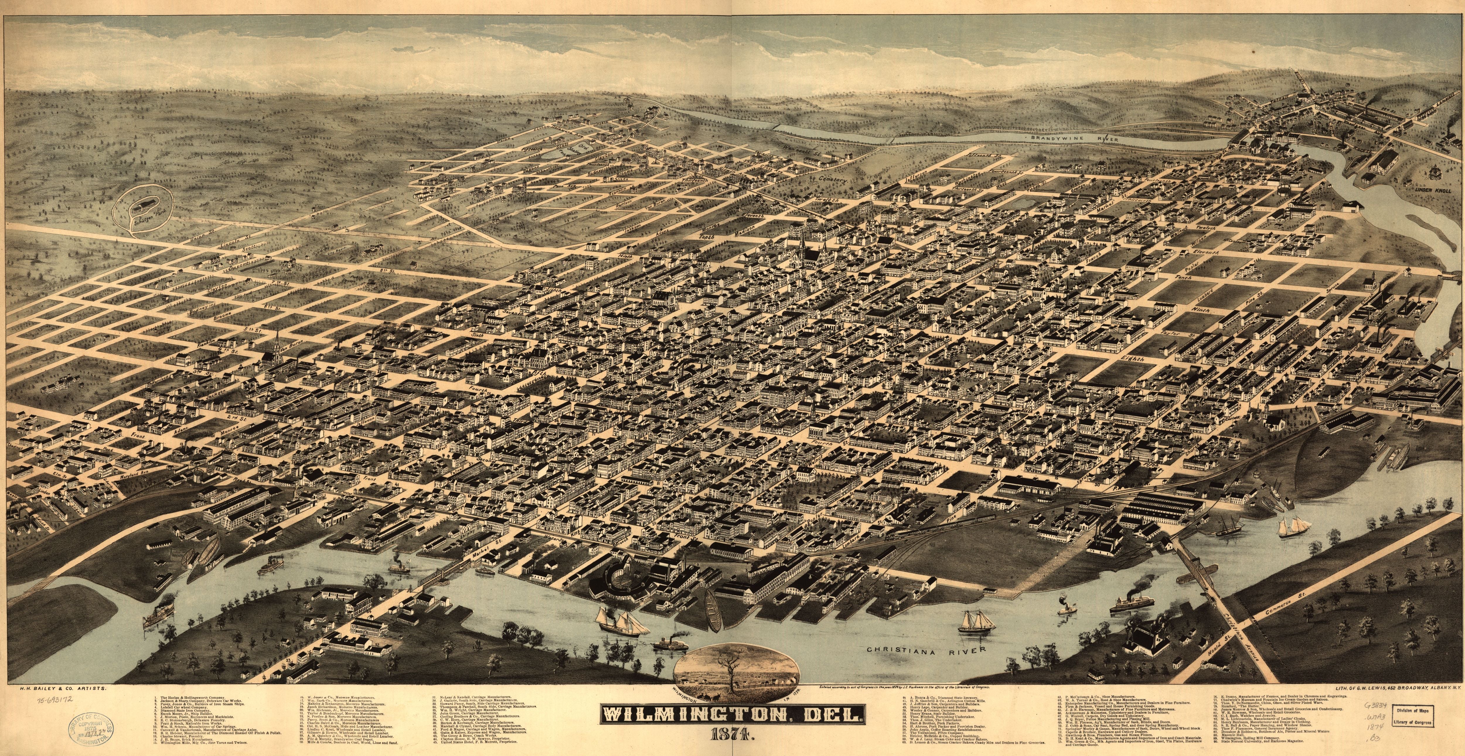
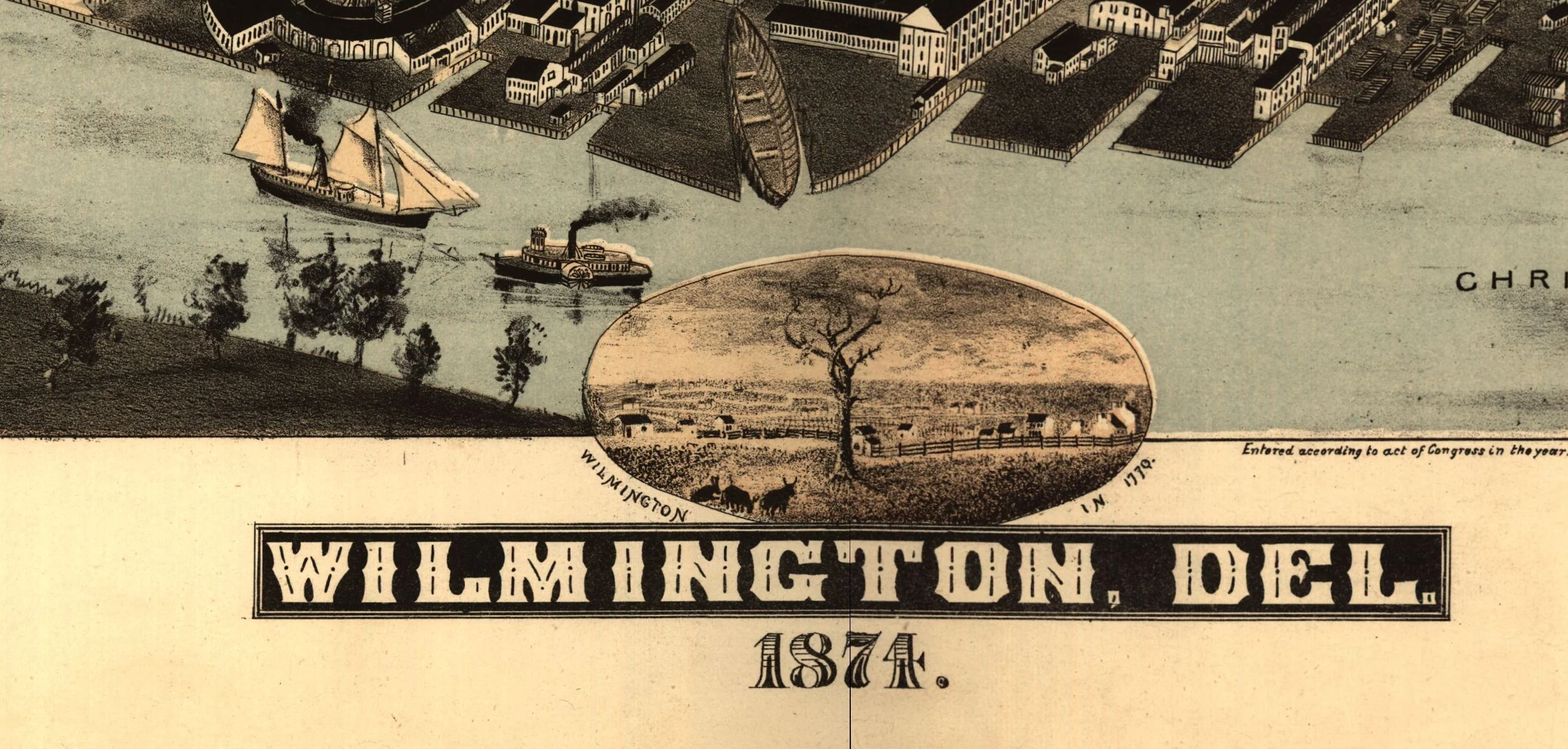
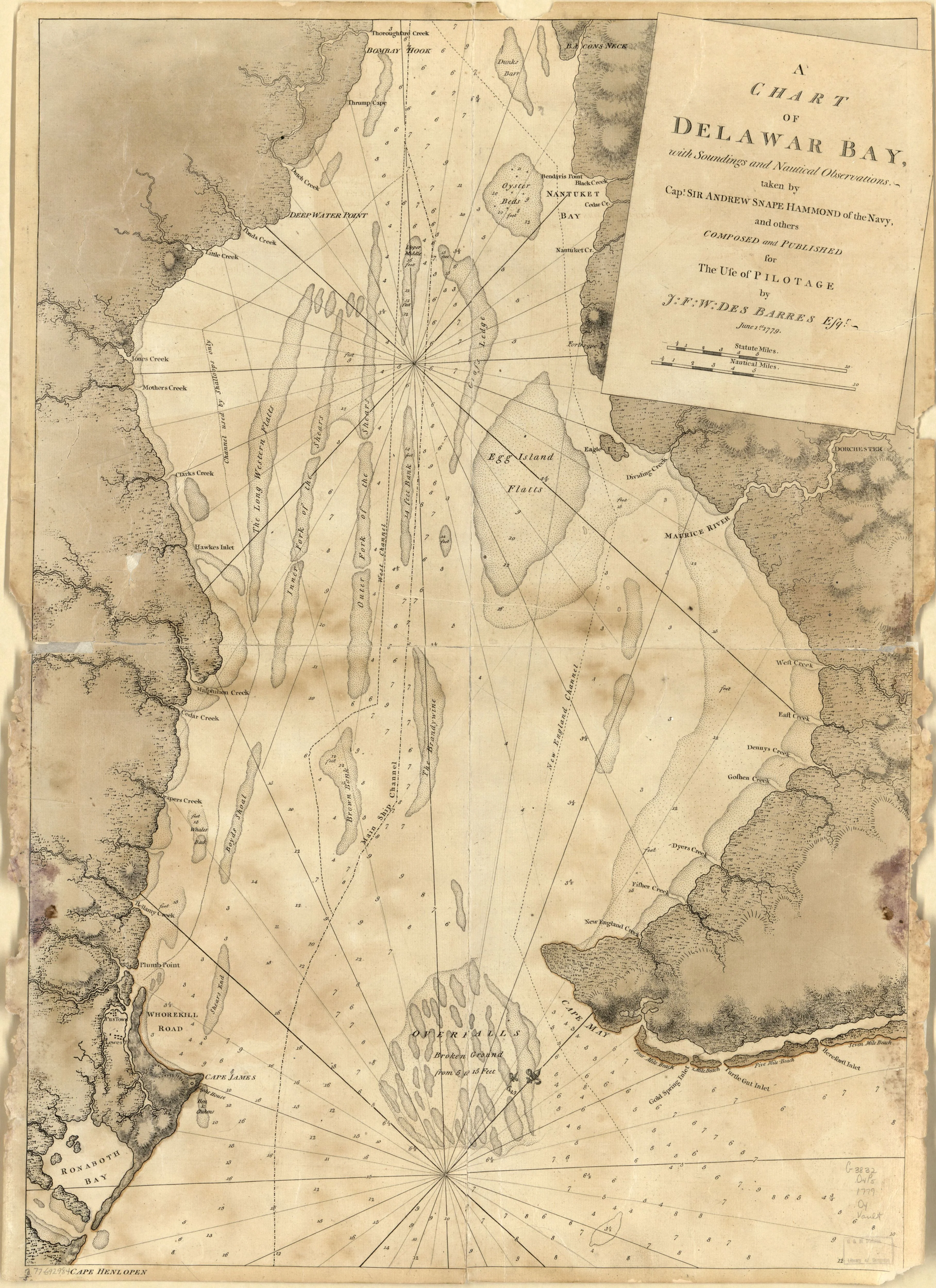
A Chart of Delawar Bay with Surroundings and Nautical Observations, 1779
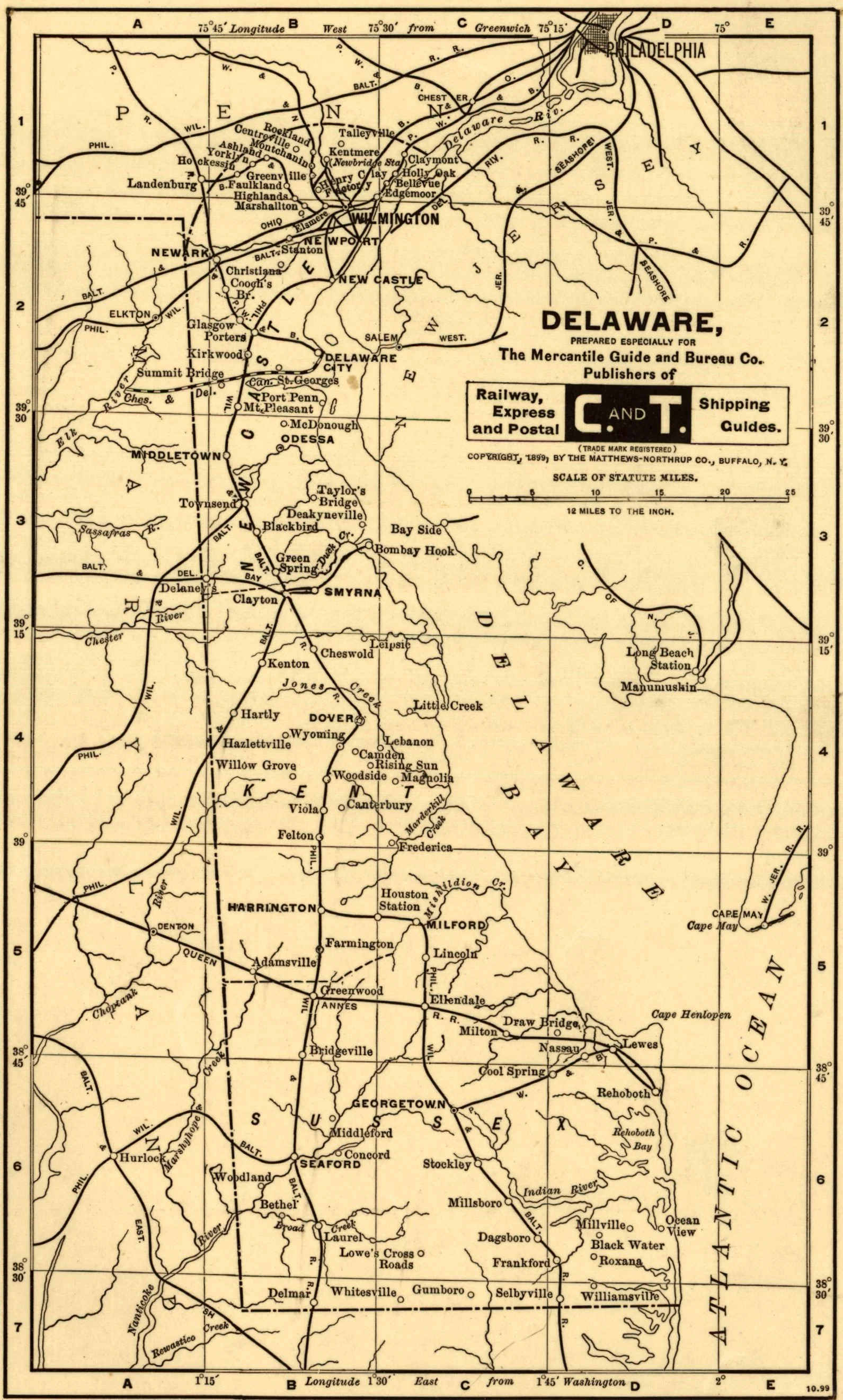
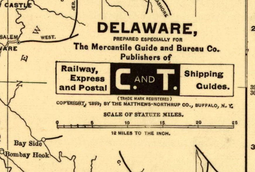
Delaware, prepared especially for the Mercantile Guide and Bureau Co. Publishers of Railway
Des Barres, Joseph 1779
This beautiful reproduction is printed on heavy, acid-free stock using HP 100-year ink and is excellent for framing.
This map comes rolled and shipped in a sturdy cardboard tube.
Size: 22" x 30"
Product Information
Product Information
Shipping & Returns
Shipping & Returns
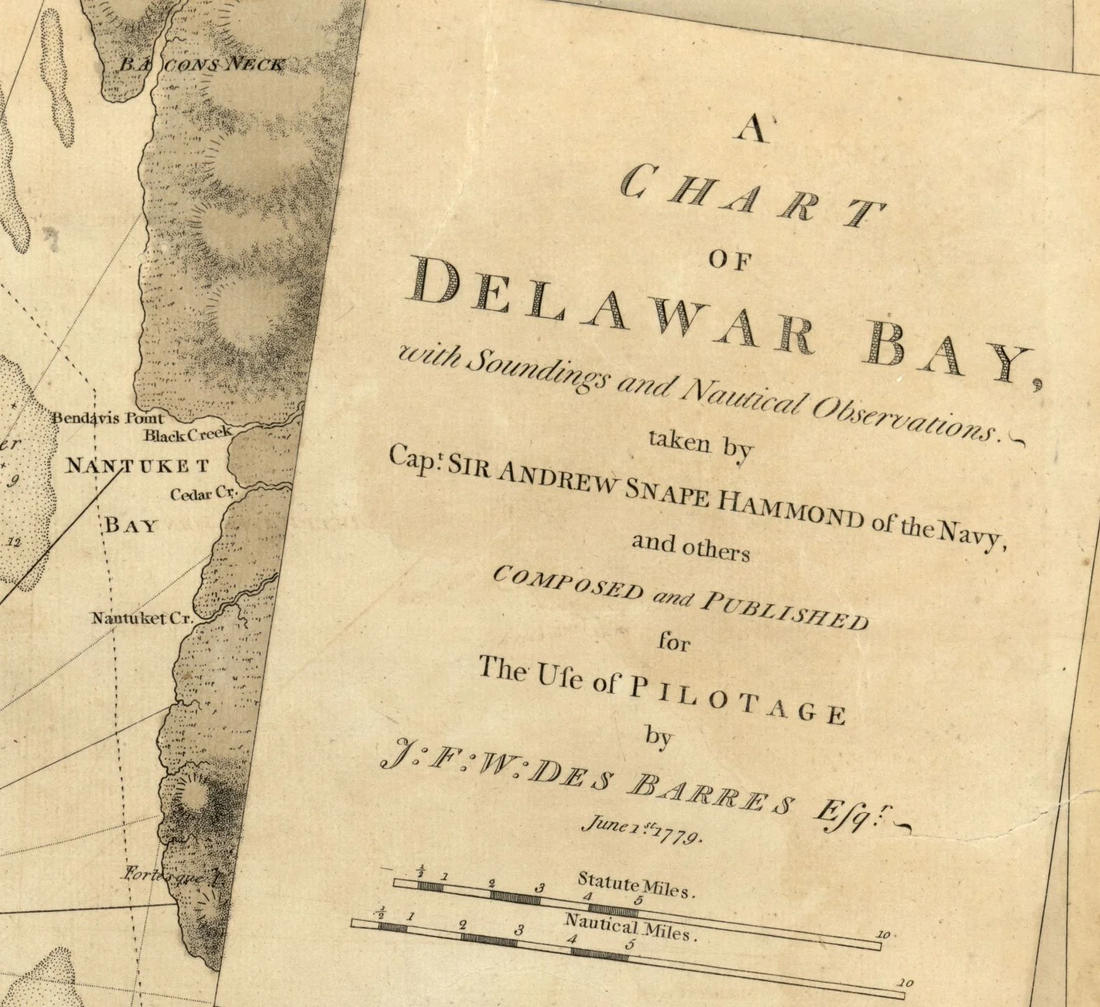


A Chart of Delawar Bay with Surroundings and Nautical Observations, 1779
A Chart of Delawar Bay with Surroundings and Nautical Observations, 1779
Delaware, prepared especially for the Mercantile Guide and Bureau Co. Publishers of Railway
Des Barres, Joseph 1779
This beautiful reproduction is printed on heavy, acid-free stock using HP 100-year ink and is excellent for framing.
This map comes rolled and shipped in a sturdy cardboard tube.
Size: 22" x 30"
Product Information
Product Information
Shipping & Returns
Shipping & Returns
Description
Delaware, prepared especially for the Mercantile Guide and Bureau Co. Publishers of Railway
Des Barres, Joseph 1779
This beautiful reproduction is printed on heavy, acid-free stock using HP 100-year ink and is excellent for framing.
This map comes rolled and shipped in a sturdy cardboard tube.
Size: 22" x 30"